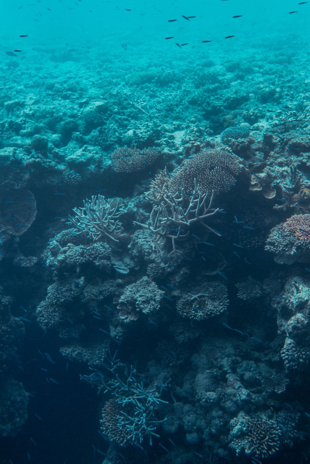
Henry's Bommie is a premier snorkel attraction nestled within the calm lagoon of Fairey Reef, part of the Great Barrier Reef's outer reef system east of the Whitsundays. This massive coral bommie rises from 12 metres to near the surface, forming a spectacular underwater pinnacle ringed by clouds of colourful tropical fish, soft corals, and gorgonian fans. The site features a narrow cave entrance leading to a chamber housing a giant clam over a metre across, plus a resident turtle often spotted around the bommie. Visibility ranges 10–20 metres, and the sheltered lagoon setting means minimal current, making it a relaxed and rewarding snorkel.
Henry's Bommie (Fairey Reef)
IntermediateGO
GO
It's a go.
Showing last known conditions
Wave Height 0.0 mSwell Period 2.4 sWind Speed 2.6 knPrecipitation 0.6 mmTidal Phase flood
Last evaluated
The spot
Community-maintained
Community contribution: submitted by Daniel
Know before you go
Logged by the community, confirmed by mods
Low risk: Cave entrance hazard
A narrow gap leads into a cave — the small opening can be disorienting and requires caution.
Low risk: Tidal current at reef edge
Though generally mild inside the lagoon, currents can develop at the outer edges of Fairey Reef, particularly during tidal changes.
Low risk: Tour boat traffic
Boat traffic from tour operators accessing the reef pontoon and moorings.
Wildlife Guide
No wildlife notes for this spot yet.
Gallery
1 photo from the community
Getting in
Snorkel tour
Entry
Fairey Reef is located approximately 60-80 km east of Airlie Beach in the Whitsundays. Accessible only by commercial snorkel/dive tours departing from Airlie Beach, Hamilton Island, or Daydream Island. Boat ride takes approximately 2 hours each way.
Parking & facilities
Paid parking available at Coral Sea Marina and Port of Airlie in Airlie Beach for day-trippers.
toiletsparking
Day-tour snorkel packages range from approximately AUD $200–$300 per person, including equipment, lunch, and reef taxes.
Spot Map
Community
Gallery ┬╖ 1 photos
Trust
Is this spot real, accurate, still loved?
Spots near Queensland

No nearby spots yet.
Needs verification
Quick verify
One tap helps the community keep this spot honest.
About this data
- Conditions last evaluated
- Spot data last updated
- Data sources
- Open-Meteo (marine & weather conditions), tide predictions via UTide, community contributors (descriptions, hazards, marine life).
- License
- Spot content licensed under CC BY-SA 4.0. How's the Spot is open source.
Weather & swell ┬╖ Open-Meteo marine & weather APIs Tides ┬╖ UTide harmonic analysis Sea & safety ┬╖ community reports