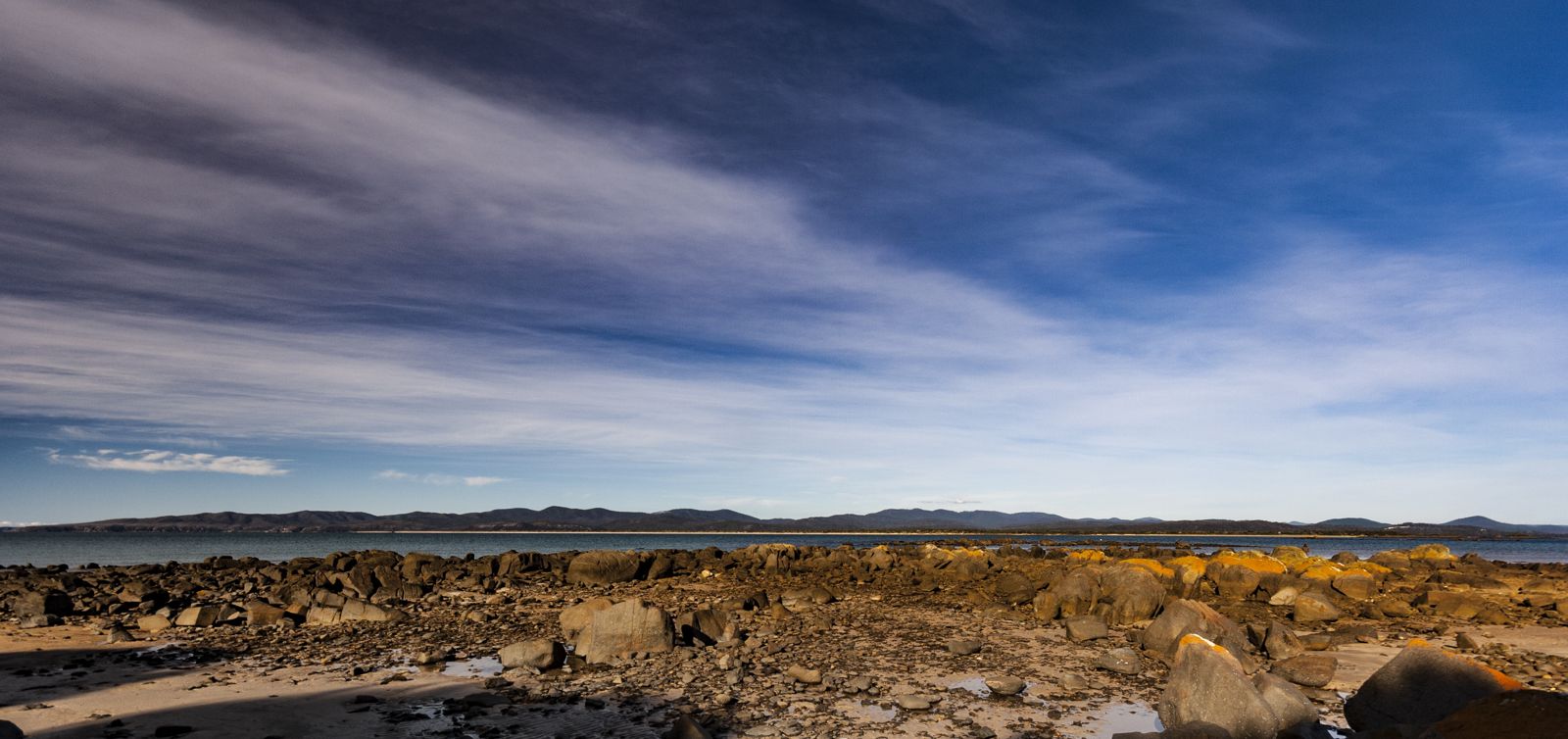
Hawley Beach is a sheltered, unpatrolled swimming and snorkelling beach on Tasmania's North East coast, backed by a grassy foreshore reserve with picnic facilities. The calm, protected waters of the Rubicon Estuary mouth meet the beach's western end, offering shallow sandy areas that warm up in summer and provide safe entry for snorkellers exploring sandy-bottom flats and seagrass beds. The foreshore footpath connects picnic spots, public toilets, and drinking fountains, while the beach's north-west aspect catches afternoon sun. Snorkelling conditions are best on calm, high-tide days when the water clarity is at its peak over the sandy shallows.
Hawley Beach
BeginnerGO
GO
It's a go.
Showing last known conditions
Wave Height 0.1 mSwell Period 5.2 sWind Speed 4.9 knPrecipitation 13 mmTidal Phase flood
Last evaluated
The spot
Community-maintained
Community contribution: submitted by Daniel
Know before you go
Logged by the community, confirmed by mods
Low risk: Unpatrolled beach
The beach is not patrolled by lifeguards. No flagged swimming area exists.
Low risk: Tidal currents near estuary mouth
On outgoing tides, tidal flow from the nearby Rubicon Estuary can create subtle currents near the western end of the beach.
Low risk: Cold water temperatures
Temperate Tasmania waters typically range from 12-18°C even in summer, requiring wetsuit use for comfort and safety during extended snorkelling.
Low risk: Onshore wind chop
Seasonal onshore winds can reduce water visibility and create choppy surface conditions unsuitable for snorkelling.
Wildlife Guide
No wildlife notes for this spot yet.
Gallery
1 photo from the community
Getting in
Shore entry
Entry
Located on Hawley Esplanade in Shearwater, approximately 15 minutes east of Devonport along the Bass Highway. Turn onto Hawley Esplanade to reach the beach and foreshore carparks.
Parking & facilities
Council carparks available along Hawley Esplanade, including a central carpark near the picnic area and additional parking at both the south and north ends.
parkingtoiletsdrinking_waterpicnic_tables
Free
Spot Map
Community
Gallery ┬╖ 1 photos
Trust
Is this spot real, accurate, still loved?
Spots near Tasmania

No nearby spots yet.
Needs verification
Quick verify
One tap helps the community keep this spot honest.
About this data
- Conditions last evaluated
- Spot data last updated
- Data sources
- Open-Meteo (marine & weather conditions), tide predictions via UTide, community contributors (descriptions, hazards, marine life).
- License
- Spot content licensed under CC BY-SA 4.0. How's the Spot is open source.
Weather & swell ┬╖ Open-Meteo marine & weather APIs Tides ┬╖ UTide harmonic analysis Sea & safety ┬╖ community reports