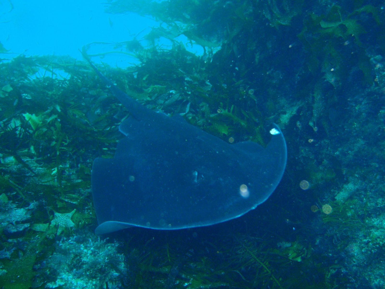
The Hairy Wall is a renowned dive-and-snorkel site within the Governor Island Marine Reserve off Bicheno's east coast. It gets its name from the astonishing array of sea whips, sponge outcrops, and gorgonian fans that blanket a steep granite drop-off running parallel to Governor Island. This temperate underwater garden hosts colourful zoanthids, jewelled anemones, basket stars, and prolific fish life including butterfly perch, boarfish, and banded morwong. Moderate currents keep visibility above average, making it one of the most visually spectacular snorkelling spots in North East Tasmania. Access is typically by boat from The Gulch, as the wall drops from around 35m to beyond 40m — best suited for intermediate-to-advanced snorkellers and free-divers comfortable with depth.
Hairy Wall (Bicheno)
It's a go.
Showing last known conditions
Last evaluated
 © Peter Southwood
DANGER: Explicit Risks Present
Hairy Wall (Bicheno) has hazards marked as danger. Entering the water here means you may face serious risks to your personal safety.
- Deep water depth danger
The Canyon starts at 15m and descends to 33m, well beyond safe free-diving range for most snorkelers. Best suited to experienced SCUBA divers.
- Strong ocean currents danger
The waters around Governor Island are deep and subject to strong currents and swells, especially around the bommies.
- Deep water danger
Reef drops from 26m to 39m — extremely deep for snorkeling, recommended only for advanced snorkelers/freedivers with proper training.
- Decompression risk danger
Depth profiles can require decompression stops; nitrogen narcosis and DCS are significant risks for deep freediving.
The spot
Community-maintained
Community contribution: submitted by Daniel
Know before you go
Logged by the community, confirmed by mods
High risk: Deep water depth
The Canyon starts at 15m and descends to 33m, well beyond safe free-diving range for most snorkelers. Best suited to experienced SCUBA divers.
High risk: Strong ocean currents
The waters around Governor Island are deep and subject to strong currents and swells, especially around the bommies.
High risk: Deep water
Reef drops from 26m to 39m — extremely deep for snorkeling, recommended only for advanced snorkelers/freedivers with proper training.
High risk: Decompression risk
Depth profiles can require decompression stops; nitrogen narcosis and DCS are significant risks for deep freediving.
Moderate risk: Storm surge and rough seas
During stormy conditions, large waves can surge onto the rocks around the nearby blowhole and along the beach.
Moderate risk: Strong currents and swells
The marine reserve is subject to frequent strong currents and ocean swells that hammer the east coast, making conditions challenging for inexperienced snorkelers.
Moderate risk: Boat traffic
The site is subject to frequent boating traffic in the marine reserve. Snorkelers must remain vigilant.
Moderate risk: Depth hazard
Maximum depth of 35m requires advanced diving skills and proper decompression planning. Not suitable for basic snorkeling — this is primarily a SCUBA dive site.
Moderate risk: Strong currents
Moderate currents can flush through the area, particularly around the walls and valley. Currents can increase unexpectedly.
Moderate risk: Moderate currents
Ongoing moderate currents flush the wall area; while they improve visibility, they can carry snorkellers away from the site.
Low risk: Submerged rocks and boulders
The beach entry and nearshore zone are strewn with rocks and pebbles under the water surface, requiring careful footing.
Low risk: Slippery lichen-covered rocks
The distinctive orange lichen on shoreline boulders becomes extremely slippery when wet.
Low risk: Slippery rocks
The rounded pebbles and lichen-covered granite boulders can be very slippery when wet.
Low risk: Swell surges
Southerly swells can push into the cove creating sudden surges around the rocky edges.
Low risk: Cold water temperatures
Tasmanian east coast waters are cold year-round, ranging from 12-18°C, requiring thick wetsuits for any extended time in the water.
Low risk: Swell exposure
Located on the exposed eastern side of Governor Island, open to east coast swells that can reduce visibility and create hazardous conditions.
Low risk: Swell and surge
The exposed eastern side of Fish Rock can experience significant ocean swell and surge, especially in southerly winds.
Low risk: Slippery rock entry
Entry via the breakwater involves navigating algae-covered rocks that can be extremely slippery.
Low risk: Cold water temperature
Tasmanian east coast waters are temperate and can be very cold year-round (10–18°C), requiring a thick wetsuit, hood, boots and gloves even in summer.
Wildlife Guide
No wildlife notes for this spot yet.
Gallery
10 photos from the community
Getting in
The Hairy Wall lies off the eastern side of Governor Island, within the Governor Island Marine Reserve off Bicheno. Access is by boat from The Gulch (the small harbour and wharf area on Bicheno's eastern foreshore). Local charters (e.g. Go Dive Tasmania) run regular trips. Bicheno is 2.5 hours' drive from Hobart via the Tasman Highway, or just over 2 hours from Launceston.
Free parking available near The Gulch and along the Bicheno foreshore at multiple car parks. The middle foreshore car park offers the most spaces.
No fee for the marine reserve. Boat charter fees vary (typically $100–$150 per person for guided trips).
Spot Map
Community
Trust
Is this spot real, accurate, still loved?
Spots near Tasmania

No nearby spots yet.
Quick verify
One tap helps the community keep this spot honest.
About this data
- Conditions last evaluated
- Spot data last updated
- Data sources
- Open-Meteo (marine & weather conditions), tide predictions via UTide, community contributors (descriptions, hazards, marine life).
- License
- Spot content licensed under CC BY-SA 4.0. How's the Spot is open source.