Tucked around the corner east of Bundeena's ferry wharf, Gunyah Beach is a petite sandy pocket flanked by rocky sandstone platforms that create a sheltered marine habitat perfect for snorkeling. The underwater landscape features shallow gutters and rock crevices where colourful fish, rays and crustaceans hide. It's a local favourite that feels a world away from Sydney, with the rugged coastline of Royal National Park framing the horizon.
Gunyah Beach
BeginnerGO
GO
It's a go.
Showing last known conditions
Wave Height 0.5 mSwell Period 6.5 sWind Speed 2.8 knPrecipitation 12 mmTidal Phase flood
Last evaluated
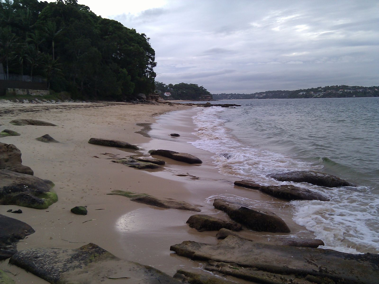 © Maksym Kozlenko
The spot
Community-maintained
Community contribution: submitted by Daniel
Know before you go
Logged by the community, confirmed by mods
Moderate risk: No lifeguard patrol
Gunyah Beach is unpatrolled — no lifeguard service. Swim and snorkel with caution.
Low risk: Slippery rock platforms
The sandstone rock platforms flanking the beach can be very slippery when wet, especially after rain or at low tide.
Low risk: Limited parking congestion
Parking is very limited on Beach Street, The Avenue and Lambeth Walk — expect congestion on summer weekends and holidays.
Wildlife Guide
No wildlife notes for this spot yet.
Gallery
3 photos from the community
Getting in
Shore entry
Entry
Bundeena is reached via ferry from Cronulla (30 min ride) or by driving through Royal National Park via Sir Bertram Stevens Drive and Bundeena Drive. From the Bundeena ferry wharf, walk east around the corner past Brighton Street to reach Gunyah Beach.
Parking & facilities
Limited street parking via Beach Street, The Avenue and Lambeth Walk. Fills quickly on weekends.
toilets
Free entry. Ferry fare applies if arriving from Cronulla.
Spot Map
Community
Gallery ┬╖ 3 photos
Trust
Is this spot real, accurate, still loved?
Spots near New South Wales

No nearby spots yet.
Needs verification
Quick verify
One tap helps the community keep this spot honest.
About this data
- Conditions last evaluated
- Spot data last updated
- Data sources
- Open-Meteo (marine & weather conditions), tide predictions via UTide, community contributors (descriptions, hazards, marine life).
- License
- Spot content licensed under CC BY-SA 4.0. How's the Spot is open source.
Weather & swell ┬╖ Open-Meteo marine & weather APIs Tides ┬╖ UTide harmonic analysis Sea & safety ┬╖ community reports