The Gulf of Carpentaria Marine Park protects a submerged world of steep-sided undersea pinnacles and ancient coral reefs that rise from the shallow seafloor (15–70 m deep). Unlike fringing reefs, these are isolated shoals and patch reefs teeming with large plate corals, soft corals, dense sponge gardens, and abundant fish. The park's remote, near-pristine coastal zone and proximity to the Wellesley Islands make it a vital feeding ground for turtles, seabirds, and sea snakes. This is wild, open-water snorkeling — a true expedition for those seeking untouched reef ecosystems.
Gulf of Carpentaria Marine Park (reefs & pinnacles)
AdvancedGO
GO
It's a go.
Showing last known conditions
Wave Height 0.1 mSwell Period 3.2 sWind Speed 6.5 knPrecipitation 1.6 mmTidal Phase flood
Last evaluated
DANGER: Explicit Risks Present
Gulf of Carpentaria Marine Park (reefs & pinnacles) has hazards marked as danger. Entering the water here means you may face serious risks to your personal safety.
- Remote offshore location danger
All snorkeling sites are offshore, requiring boat access with no immediate shore support. Remote location limits emergency response.
- Cyclone season / severe weather danger
The Gulf experiences a distinct wet season with cyclones and thunderstorms. Peak cyclone risk is November through April.
- Saltwater crocodiles (coastal zones) danger
Saltwater crocodiles inhabit the Gulf's coastal and estuarine waters near the marine park's boundary zones.
The spot
Community-maintained
Community contribution: submitted by Daniel
Know before you go
Logged by the community, confirmed by mods
High risk: Remote offshore location
All snorkeling sites are offshore, requiring boat access with no immediate shore support. Remote location limits emergency response.
High risk: Cyclone season / severe weather
The Gulf experiences a distinct wet season with cyclones and thunderstorms. Peak cyclone risk is November through April.
High risk: Saltwater crocodiles (coastal zones)
Saltwater crocodiles inhabit the Gulf's coastal and estuarine waters near the marine park's boundary zones.
Moderate risk: Strong tidal currents
Strong tidal flows through the Gulf can create powerful currents around submerged pinnacles and reefs, especially during spring tides.
Moderate risk: Marine stingers (box jellyfish)
Box jellyfish and other stinging marine stingers are prevalent in the Gulf's warm tropical waters. Peak season is October through May.
Wildlife Guide
No wildlife notes for this spot yet.
Gallery
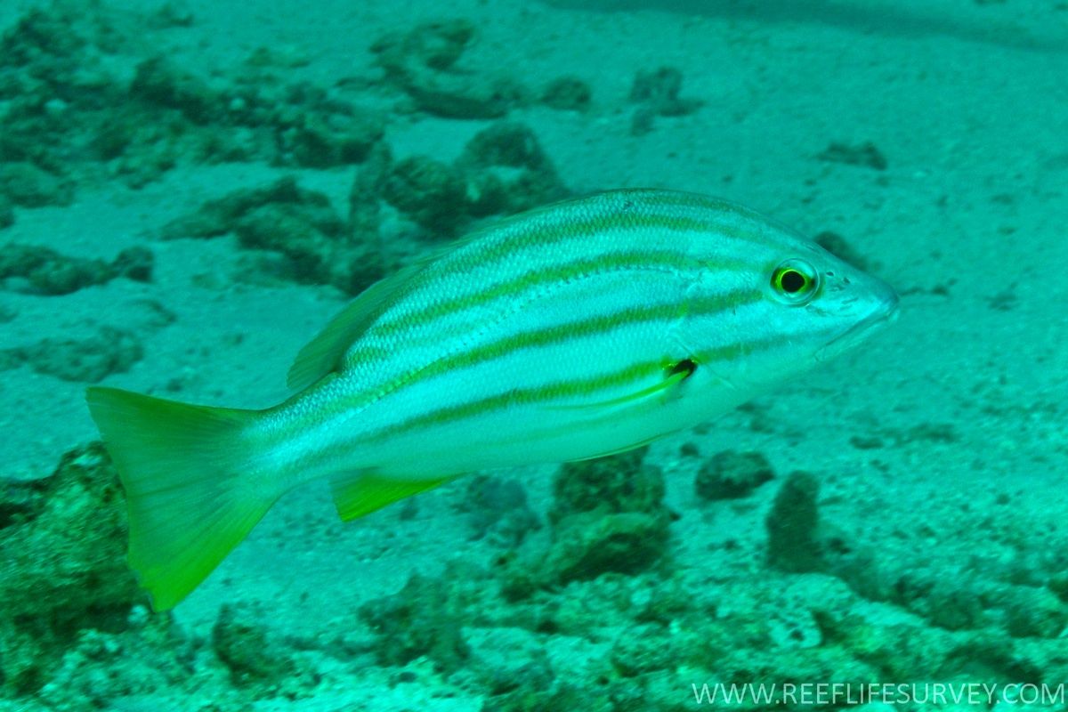
1 photo from the community
Getting in
Boat
Entry
The marine park begins 90 km north-west of Karumba (Queensland) and lies adjacent to the Wellesley Islands. Access is by private or charter vessel from Karumba, Mornington Island, or other Gulf ports. No road access exists — all snorkeling sites are offshore.
Parking & facilities
Parking available at Karumba boat ramp and Mornington Island facilities.
No entry fee for the marine park itself, but charter fees apply for organised tours. Check park zoning rules before visiting.
Spot Map
Community
Gallery ┬╖ 1 photos
Trust
Is this spot real, accurate, still loved?
Spots near Queensland

No nearby spots yet.
Needs verification
Quick verify
One tap helps the community keep this spot honest.
About this data
- Conditions last evaluated
- Spot data last updated
- Data sources
- Open-Meteo (marine & weather conditions), tide predictions via UTide, community contributors (descriptions, hazards, marine life).
- License
- Spot content licensed under CC BY-SA 4.0. How's the Spot is open source.
Weather & swell ┬╖ Open-Meteo marine & weather APIs Tides ┬╖ UTide harmonic analysis Sea & safety ┬╖ community reports