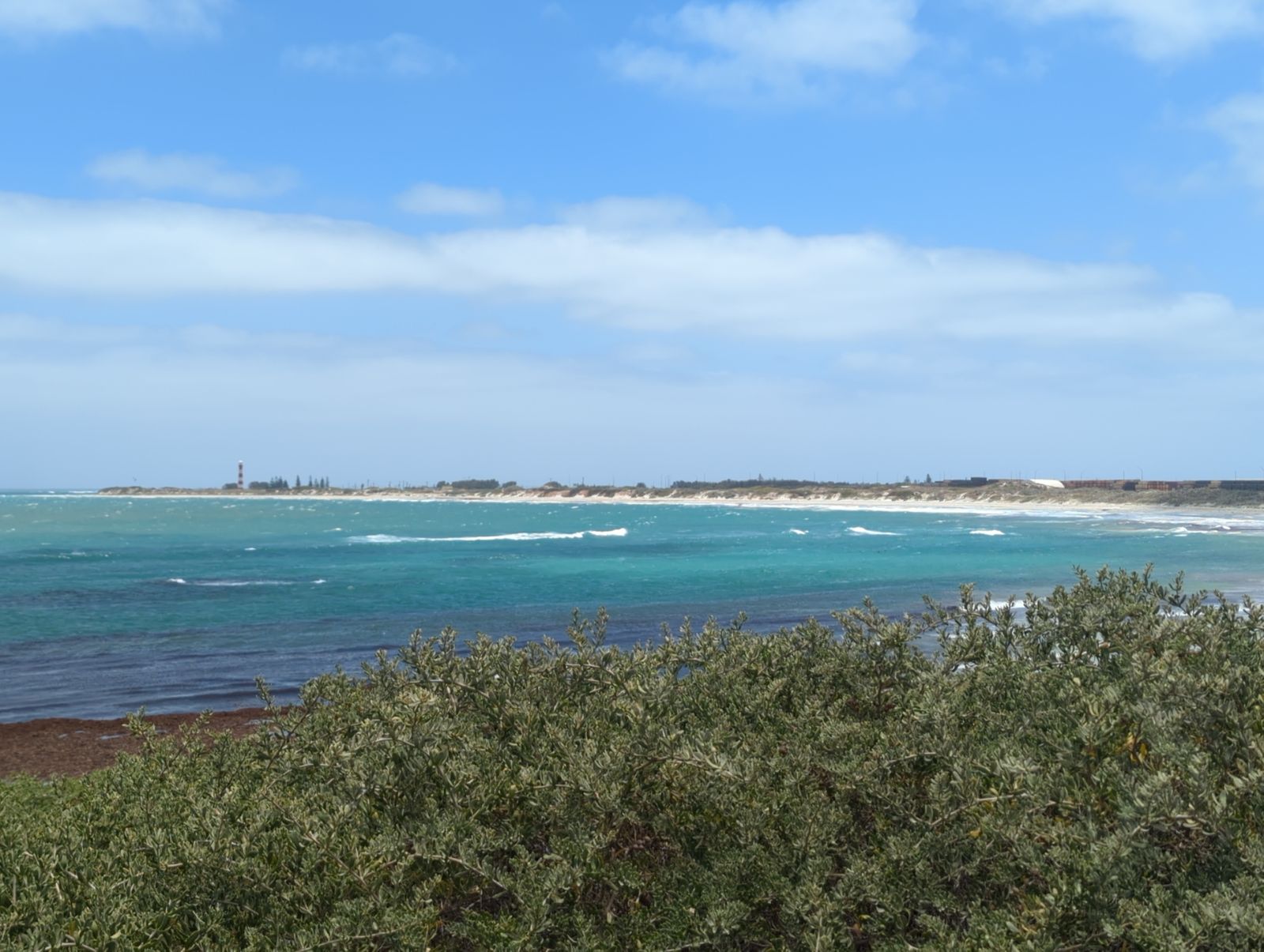
Nestled along the west end of Geraldton's coastline, Greys Beach is a sparkling, sheltered stretch of white sand that faces squarely into the dominant Indian Ocean swells. Its waves are significantly reduced by offshore reefs, often averaging around 1 m and creating a 50 m wide low-tide zone ideal for swimming and snorkelling. Backed by a 10 m high scarped dune reserve, the beach offers easy shore access and a caravan park in the lee, making it a favourite local spot for calm-water exploration.
Greys Beach
BeginnerGO
GO
It's a go.
Showing last known conditions
Wave Height 0.3 mSwell Period 11 sWind Speed 0.7 knPrecipitation 0.4 mmTidal Phase ebb
Last evaluated
The spot
Community-maintained
Community contribution: submitted by Daniel
Know before you go
Logged by the community, confirmed by mods
Moderate risk: Rip currents
Occasional rip currents may form near the reef edges, especially during larger swell events.
Low risk: Swell exposure
Greys Beach faces open Indian Ocean swells; waves reduced by reef but can still be strong on windy days.
Wildlife Guide
No wildlife notes for this spot yet.
Gallery
2 photos from the community
Getting in
Shore entry
Entry
Greys Beach is located at the western end of Geraldton, Western Australia, off Chapman Road. It is roughly 5 km west of the Geraldton city centre.
Parking & facilities
Car parks are located at either end of the beach. Free all-day parking is available at nearby Chapman Road carparks (behind the Geraldton Regional Library).
parkingtoilets
Free entry, no fees required.
Spot Map
Community
Gallery ┬╖ 2 photos
Trust
Is this spot real, accurate, still loved?
Spots near Western Australia

No nearby spots yet.
Needs verification
Quick verify
One tap helps the community keep this spot honest.
About this data
- Conditions last evaluated
- Spot data last updated
- Data sources
- Open-Meteo (marine & weather conditions), tide predictions via UTide, community contributors (descriptions, hazards, marine life).
- License
- Spot content licensed under CC BY-SA 4.0. How's the Spot is open source.
Weather & swell ┬╖ Open-Meteo marine & weather APIs Tides ┬╖ UTide harmonic analysis Sea & safety ┬╖ community reports