Grey Beach, part of the Wanagarren Nature Reserve along Western Australia's Turquoise Coast, offers a wild and secluded shore-snorkelling experience just north of Jurien Bay. Unlike the busy main beach, this stretch of the Indian Ocean Drive coastline features limestone reef platforms and shallow sandy bays where snorkellers can explore sponge gardens, rocky gutters, and patchy seagrass beds. The area's exposed position and marine park protection mean clear, nutrient-rich waters attract an array of temperate reef life. The "Grey area shore sites" refer to multiple access points along the reserve where high-clearance vehicles can pull off to find their own private snorkel spot among the low limestone cliffs and turquoise shallows.
Grey Beach / Grey area shore sites
IntermediateSKIP
SKIP
Poor conditions. Stay out today.
Showing last known conditions
Wave Height 2.0 mSwell Period 11 sWind Speed 2.6 knPrecipitation 2.5 mmTidal Phase ebb
Last evaluated
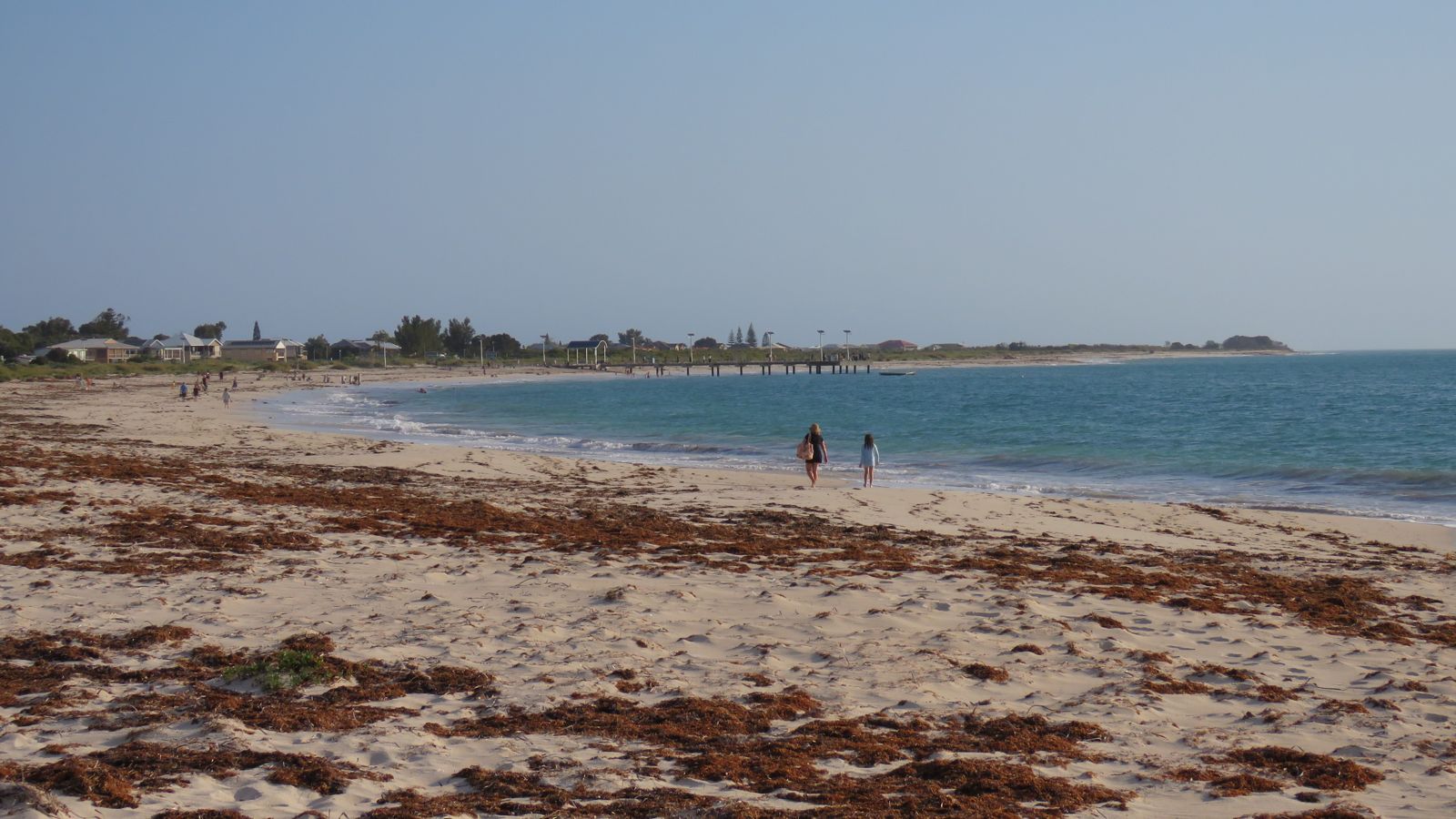 © Calistemon
The spot
Community-maintained
Community contribution: submitted by Daniel
Know before you go
Logged by the community, confirmed by mods
Moderate risk: Swell exposure
Grey Beach faces the open Indian Ocean and can receive significant swell, creating strong shore-dump waves and surging conditions at the reef edge.
Moderate risk: Strong rips and currents
During larger swell or outgoing tides, rip currents can form along the reef gutters and channels, sweeping swimmers offshore.
Moderate risk: Limited shore access to islands
Direct swimming from shore to offshore islands is not recommended; access to the best reef and sea lion areas requires a boat or guided tour.
Moderate risk: Box Jellyfish (seasonal)
During the summer months (December to February), box jellyfish may occasionally be present in the waters of the Coral Coast. Swimmers and snorkelers should check local warnings.
Low risk: Sharp limestone reef
The intertidal limestone platforms are extremely sharp and slippery when wet; cuts and scrapes are common without protective footwear.
Low risk: Remote location
Limited mobile reception and no permanent lifeguard patrol; access is via unsealed pull-offs with no immediate emergency services nearby.
Low risk: Marine stingers
Box jellyfish and other stingers may be present in warmer months; stinger suits are recommended during summer.
Low risk: Boat traffic
Tour boats and private vessels operate in the marine park, especially near offshore islands and reef anchors. Maintain situational awareness and a dive float.
Low risk: Variable currents
Tidal flows through the lagoon and around the island/reef system can create unexpected currents, particularly during tide changes.
Low risk: Tidal Currents
Grey Beach can experience moderate tidal movement. Snorkelers should be aware of tidal currents, particularly when the tide is outgoing, which can create a gentle drift along the shore.
Wildlife Guide
No wildlife notes for this spot yet.
Gallery
6 photos from the community
Getting in
Shore entry
Entry
From Jurien Bay, drive north on Indian Ocean Drive for approximately 8 km. Grey Beach lies within Wanagarren Nature Reserve; look for informal limestone gravel pull-offs on the western (ocean) side of the road between Grey and Wedge Island. High-clearance vehicles recommended for some tracks down to the shore.
Parking & facilities
Informal roadside gravel pull-offs along Indian Ocean Drive. No marked car parks. Limited space, arrive early on weekends.
Free; no entry or parking fees.
Spot Map
Community
Gallery ┬╖ 6 photos
Trust
Is this spot real, accurate, still loved?
Spots near Western Australia

No nearby spots yet.
Needs verification
Quick verify
One tap helps the community keep this spot honest.
About this data
- Conditions last evaluated
- Spot data last updated
- Data sources
- Open-Meteo (marine & weather conditions), tide predictions via UTide, community contributors (descriptions, hazards, marine life).
- License
- Spot content licensed under CC BY-SA 4.0. How's the Spot is open source.
Weather & swell ┬╖ Open-Meteo marine & weather APIs Tides ┬╖ UTide harmonic analysis Sea & safety ┬╖ community reports