A sheltered 1.9 km low-energy beach at the mouth of the Tamar River, backed by Narawntapu National Park. At high tide, the shallow expanse warms quickly, creating a gentle, family-friendly snorkeling environment. Walk along the coastal track to rock platforms on West Head for deeper water and rock pools teeming with marine life, with views of Low Head Lighthouse across the river. The beach's orange lichen-covered rocks and calm conditions make this an ideal beginner to intermediate snorkel spot in North East Tasmania.
Greens Beach
BeginnerGO
GO
It's a go.
Showing last known conditions
Wave Height 0.1 mSwell Period 5.3 sWind Speed 0.8 knPrecipitation 14 mmTidal Phase flood
Last evaluated
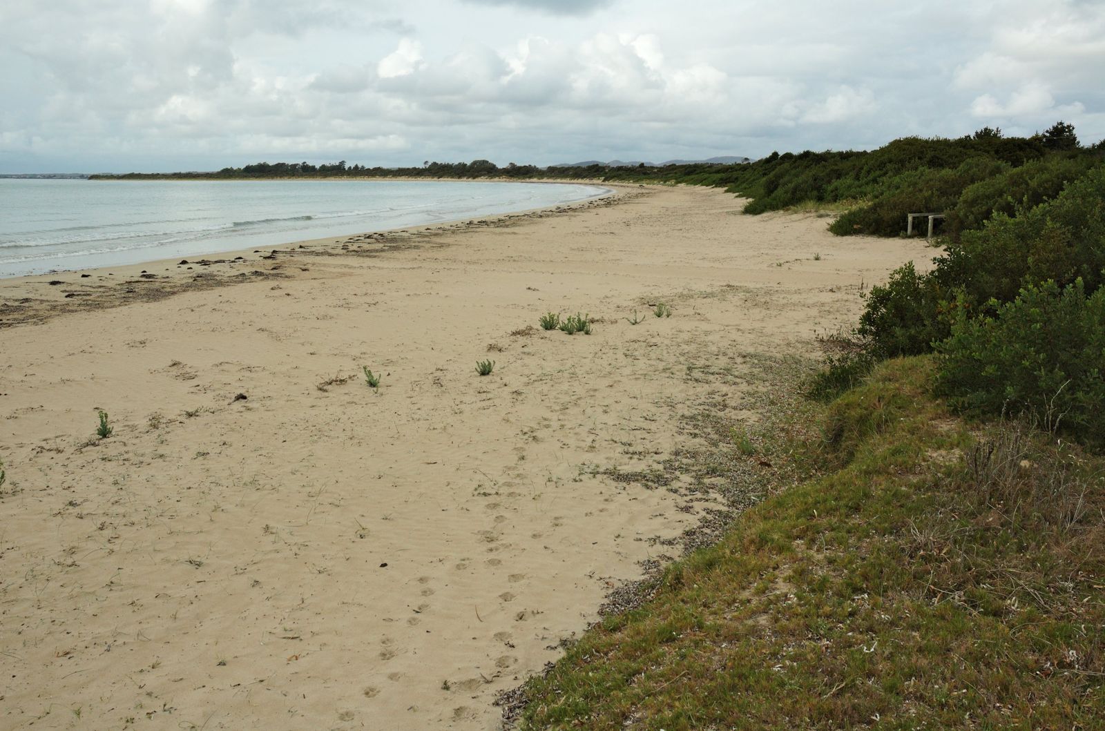 © Gary Houston
The spot
Community-maintained
Community contribution: submitted by Daniel
Know before you go
Logged by the community, confirmed by mods
Low risk: Extreme tidal range
As a low-energy tidal beach, the water can retreat dramatically at low tide, exposing extensive sand flats. Swimmers and snorkelers should time visits for incoming or high tide for best access and depth.
Low risk: Cold water temperature
Cool temperate Tasmanian waters can cause rapid heat loss; even in summer, wetsuits are recommended for extended snorkeling sessions.
Wildlife Guide
No wildlife notes for this spot yet.
Gallery
4 photos from the community
Getting in
Shore entry
Entry
From Launceston, drive ~50 min north on the West Tamar Highway (A7) to Beaconsfield. Turn left after the petrol station, following signs for Greens Beach (C720). Continue to the beachfront.
Parking & facilities
Formal parking area at the beachfront plus nearby street parking.
toiletsparkingdrinking_waterpicnic_tablesshowers
Free access — all public beaches in Tasmania are free.
Spot Map
Community
Gallery ┬╖ 4 photos
Trust
Is this spot real, accurate, still loved?
Spots near Tasmania

No nearby spots yet.
Needs verification
Quick verify
One tap helps the community keep this spot honest.
About this data
- Conditions last evaluated
- Spot data last updated
- Data sources
- Open-Meteo (marine & weather conditions), tide predictions via UTide, community contributors (descriptions, hazards, marine life).
- License
- Spot content licensed under CC BY-SA 4.0. How's the Spot is open source.
Weather & swell ┬╖ Open-Meteo marine & weather APIs Tides ┬╖ UTide harmonic analysis Sea & safety ┬╖ community reports