A sheltered bay on Sydney's Bondi-to-Coogee coastal walk, Gordons Bay is a protected aquatic reserve home to the city's only dedicated Underwater Nature Trail — a 600-metre self-guided snorkel route marked by drums and informative steel plaques. Enter via the easy rock platform east of the bay and explore boulder gardens, kelp forests and sandy gutters in 6–8 m depths. The absence of spearfishing and the calm, clear conditions make this a sanctuary for fish life and a perfect introductory shore-entry snorkel for anyone comfortable in open water.
Gordons Bay (Gordon's Bay)
IntermediateMAYBE
MAYBE
Fair. Experienced snorkellers only.
Showing last known conditions
Wave Height 0.6 mSwell Period 6.6 sWind Speed 11 knPrecipitation 7.4 mmTidal Phase flood
Last evaluated
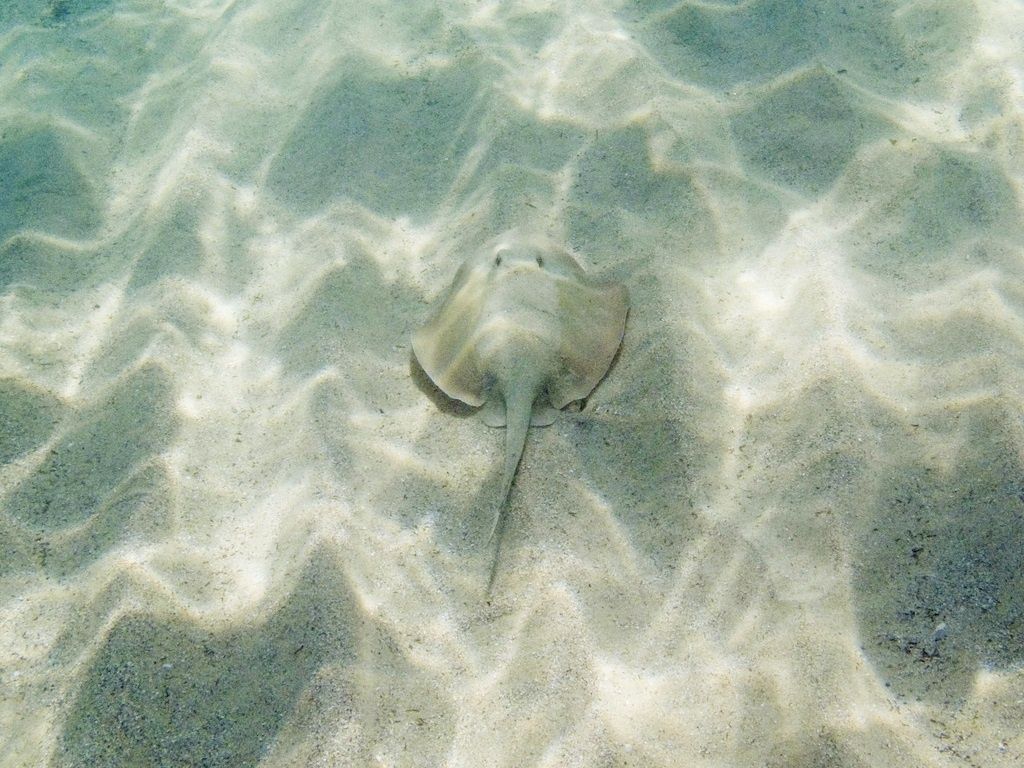 © lennyk410
The spot
Community-maintained
Community contribution: submitted by Daniel
Know before you go
Logged by the community, confirmed by mods
Moderate risk: No lifeguard patrol
Gordon's Bay is an unpatrolled beach with no lifeguard supervision; swimmers and snorkelers assume all risk.
Moderate risk: Rough sea / swell
The bay is exposed to southerly swells and rough seas. Do not enter if waves are breaking inside the bay.
Moderate risk: No lifeguards
No lifeguards patrol this beach; swimmers and snorkelers are entirely self-reliant.
Low risk: Slippery boat ramp
The concrete boat ramp entry point can be slippery and covered in barnacles; waves washing over the ramp increase the risk of falls.
Low risk: Sea urchins
Sharp sea urchins are present among the rocks near the entry and along the seabed; wearing flippers or ocean shoes is strongly advised.
Low risk: Swell and surge at entry
Waves can roll directly into the boat ramp, making entry and exit tricky, especially for inexperienced snorkelers.
Low risk: Outgoing tide current
Currents can develop during an outgoing tide, particularly near the headlands; check tide conditions before entering the water.
Low risk: Steep access path
Access is via a steep downhill path from the Bondi-to-Coogee coastal walk, which can be slippery and challenging.
Low risk: Boat traffic near ramp
Small aluminium dinghies are launched from wooden ramps by the local fishing club; stay alert near the launch area.
Low risk: Rocky shoreline entry
Entry points can be rocky; proper footwear or dive booties are recommended to avoid cuts.
Low risk: Slippery rock entry
Slippery rocks at the main water entry point east of the bay require careful footing when entering and exiting the water.
Low risk: Moderate currents
Moderate currents can occur even when sea conditions appear calm, particularly around the points.
Wildlife Guide
No wildlife notes for this spot yet.
Gallery
5 photos from the community
Getting in
Shore entry
Entry
On the Bondi to Coogee Coastal Walk between Coogee and Clovelly. Parking is available between Gordons Bay and Clovelly Beach at the end of Clovelly Road. By public transport, the nearest bus stop is Clovelly Road Terminus, a 5-minute walk from the recommended water entry point.
Parking & facilities
Street parking available at the end of Clovelly Road near Clovelly Beach
toiletsparking
Free entry
Spot Map
Community
Gallery ┬╖ 5 photos
Trust
Is this spot real, accurate, still loved?
Spots near New South Wales

No nearby spots yet.
Needs verification
Quick verify
One tap helps the community keep this spot honest.
About this data
- Conditions last evaluated
- Spot data last updated
- Data sources
- Open-Meteo (marine & weather conditions), tide predictions via UTide, community contributors (descriptions, hazards, marine life).
- License
- Spot content licensed under CC BY-SA 4.0. How's the Spot is open source.
Weather & swell ┬╖ Open-Meteo marine & weather APIs Tides ┬╖ UTide harmonic analysis Sea & safety ┬╖ community reports