The Glennie Islands — Great Glennie, Dannevig, Citadel, and McHugh — are a rugged granite archipelago off the wild west coast of Wilsons Promontory National Park in Victoria's Gippsland region. These remote, windswept isles are surrounded by cool, nutrient-rich Bass Strait waters that surge through narrow channels and around rocky reefs. Great Glennie Island features a small sheltered cove with a pocket beach, while the entire group offers dramatic sea cliffs, offshore reefs, and dense kelp forests. Accessible only by private boat or charter, this is a pristine, adventurous snorkeling destination for those seeking solitude and raw, untamed marine environments far from the crowds.
Glennie Islands
AdvancedMAYBE
MAYBE
Fair. Experienced snorkellers only.
Showing last known conditions
Wave Height 0.5 mSwell Period 13 sWind Speed 8.8 knPrecipitation 20 mmTidal Phase flood
Last evaluated
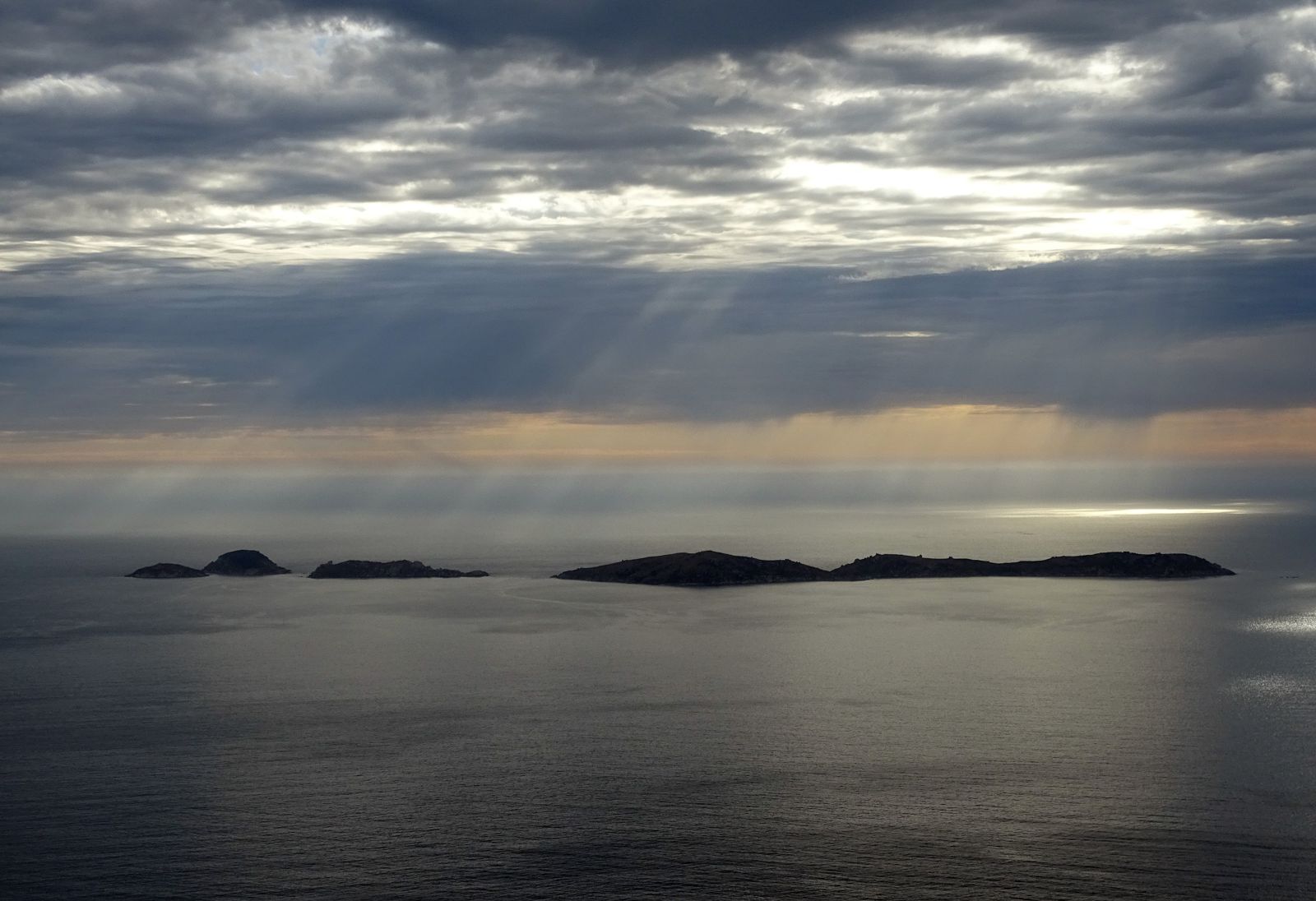 © MattSullivan17
DANGER: Explicit Risks Present
Glennie Islands has hazards marked as danger. Entering the water here means you may face serious risks to your personal safety.
- Strong Ocean Currents danger
Bass Strait currents and tidal movement between the islands can be powerful and unpredictable, particularly in channels between islands.
- Remote Location danger
The islands are isolated with no facilities, phone reception, or immediate emergency services; self-rescue or satellite communication is essential.
The spot
Community-maintained
Community contribution: submitted by Daniel
Know before you go
Logged by the community, confirmed by mods
High risk: Strong Ocean Currents
Bass Strait currents and tidal movement between the islands can be powerful and unpredictable, particularly in channels between islands.
High risk: Remote Location
The islands are isolated with no facilities, phone reception, or immediate emergency services; self-rescue or satellite communication is essential.
Moderate risk: Cold Water Temperature
Southern Ocean waters remain cold year-round (12-18°C), increasing risk of hypothermia during extended snorkeling sessions.
Moderate risk: Exposed Swell & Surge
South-westerly swells pound the exposed western shores with significant surge around rocks and reefs, especially in rough weather.
Low risk: Slippery Granite Rocks
The islands' granite shoreline and intertidal rocks are extremely slippery with marine growth, posing a slip-and-fall hazard during entry and exit.
Wildlife Guide
No wildlife notes for this spot yet.
Gallery
3 photos from the community
Getting in
Boat
Entry
The Glennie Islands lie off the west coast of Wilsons Promontory, approximately 8 km south-west of the Tidal River area. Access is by private boat or charter only — launch from Yanakie or Port Welshpool, or join a guided kayak/boat tour from Tidal River. No public ferry service. The sheltered cove on Great Glennie Island's eastern side offers the most viable landing and snorkel entry point.
Parking & facilities
Park at Tidal River carpark within Wilsons Promontory National Park (park entry fees apply). From there, water access requires a kayak/boat launch from Norman Beach or Tidal River jetty. Alternatively, park at Yanakie boat ramp or Port Welshpool for private vessel launches.
toiletsparking
Wilsons Promontory National Park entry fee applies (per vehicle). Private boat launching fees may apply at Yanakie or Port Welshpool ramps. Charter costs vary.
Spot Map
Community
Gallery ┬╖ 3 photos
Trust
Is this spot real, accurate, still loved?
Spots near Victoria

No nearby spots yet.
Needs verification
Quick verify
One tap helps the community keep this spot honest.
About this data
- Conditions last evaluated
- Spot data last updated
- Data sources
- Open-Meteo (marine & weather conditions), tide predictions via UTide, community contributors (descriptions, hazards, marine life).
- License
- Spot content licensed under CC BY-SA 4.0. How's the Spot is open source.
Weather & swell ┬╖ Open-Meteo marine & weather APIs Tides ┬╖ UTide harmonic analysis Sea & safety ┬╖ community reports