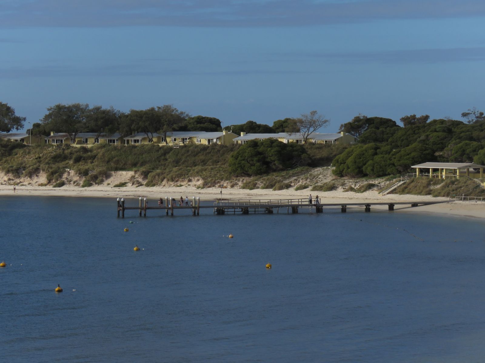
A sweeping curve of white sand on Rottnest Island's north side, Geordie Bay is one of the island's largest and most popular beaches. The calm, translucent waters lap against a shoreline dotted with boats and picnickers. Venture further out past the shallow banks and you'll discover excellent snorkelling over rocky outcrops and seagrass beds, where schools of fish and the occasional stingray glide by. Limestone caves beneath the bay entice deeper exploration. With its sunset views and resident quokkas roaming the foreshore, Geordie Bay is a vibrant hub for swimmers, snorkellers, and families alike.
Geordie Bay
BeginnerGO
GO
It's a go.
Showing last known conditions
Wave Height 0.4 mSwell Period 12 sWind Speed 0.6 knPrecipitation 0.8 mmTidal Phase ebb
Last evaluated
 © Calistemon
The spot
Community-maintained
Community contribution: submitted by Daniel
Know before you go
Logged by the community, confirmed by mods
Low risk: Boat traffic
Geordie Bay is popular with boats and watercraft, particularly over summer. Snorkellers should stay aware of boat movement and avoid swimming near moorings.
Low risk: Rocky outcrops
Submerged limestone rocks and reef patches near the shore and further out can cause cuts or stubbed toes. Wear reef shoes or fins.
Wildlife Guide
No wildlife notes for this spot yet.
Gallery
3 photos from the community
Getting in
Shore entry
Entry
Geordie Bay is on the north side of Rottnest Island, about a 10-minute bike ride or 15-minute walk from the main settlement at Thomson Bay. The Bay Sk8 bus route also stops nearby. Ferry services arrive at Thomson Bay from Fremantle, Perth, or Hillarys.
Parking & facilities
No private vehicles on Rottnest Island. Bicycle parking racks are available near the beach. Visitors arrive by ferry and explore by foot, bike, or the Island Bus service.
toiletsshowerspicnic_tablesdrinking_water
No entry fee for the beach itself. Rottnest Island Admission Fee (approx. A$15/adult) applies to all visitors arriving on the island.
Spot Map
Community
Gallery ┬╖ 3 photos
Trust
Is this spot real, accurate, still loved?
Spots near Western Australia

No nearby spots yet.
Needs verification
Quick verify
One tap helps the community keep this spot honest.
About this data
- Conditions last evaluated
- Spot data last updated
- Data sources
- Open-Meteo (marine & weather conditions), tide predictions via UTide, community contributors (descriptions, hazards, marine life).
- License
- Spot content licensed under CC BY-SA 4.0. How's the Spot is open source.
Weather & swell ┬╖ Open-Meteo marine & weather APIs Tides ┬╖ UTide harmonic analysis Sea & safety ┬╖ community reports