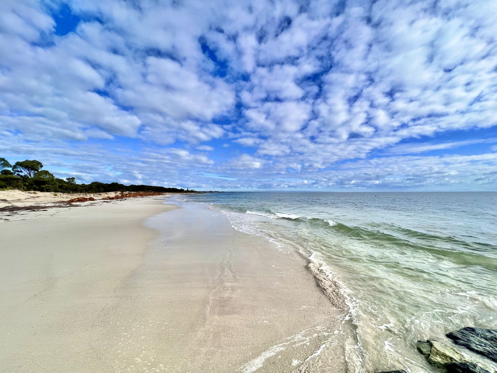
Stretching from Cape Naturaliste to Busselton, Geographe Bay's sheltered white-sand beaches offer some of the safest, clearest snorkelling in Western Australia's Southwest Capes. The shallow, protected waters wash over seagrass meadows and granite headlands, creating a haven for beginner snorkellers. Meelup Beach, Eagle Bay, and Castle Rock are standout entry points, each with calm conditions, sandy flats, and rocky outcrops hiding octopus, crabs, and schools of fish. The bay sits within the Ngari Capes Marine Park, ensuring its waters remain pristine and teeming with life.
Geographe Bay beaches
BeginnerMAYBE
MAYBE
Fair. Experienced snorkellers only.
Showing last known conditions
Wave Height 0.1 mSwell Period 12 sWind Speed 0.3 knPrecipitation 0.0 mmTidal Phase ebb
Last evaluated
The spot
Community-maintained
Community contribution: submitted by Daniel
Know before you go
Logged by the community, confirmed by mods
Low risk: Boat traffic near Busselton Jetty
The busy jetty area and boat channel see vessel traffic; snorkellers should stay well clear of the jetty swim zone and be aware of boat lanes.
Low risk: Occasional southerly winds
Strong summer sea breezes can whip up chop and reduce visibility in exposed sections of the bay.
Low risk: Rocks and limestone ledges at Castle Rock
Castle Rock has submerged granite ledges and sharp limestone formations; low tide exposes sharp edges that can cause cuts.
Wildlife Guide
No wildlife notes for this spot yet.
Gallery
4 photos from the community
Getting in
Shore entry
Entry
From Busselton, follow Caves Road west toward Dunsborough. Turn onto Meelup Road to reach Meelup Beach, Castle Rock and Eagle Bay. Alternatively, follow Geographe Bay Road east of Busselton for access to the long beachfront strip. All beaches are within 10–25 minutes' drive of Busselton or Dunsborough.
Parking & facilities
Free car parks at Meelup Beach, Eagle Bay, and Castle Rock. Street parking also available along Meelup Road. Busselton foreshore has multiple paid and free parking bays.
toiletsparkingdrinking_watershowerspicnic_tables
Free entry. No snorkel tour fees required as all sites are shore-entry.
Spot Map
Community
Gallery ┬╖ 4 photos
Trust
Is this spot real, accurate, still loved?
Spots near Western Australia

No nearby spots yet.
Needs verification
Quick verify
One tap helps the community keep this spot honest.
About this data
- Conditions last evaluated
- Spot data last updated
- Data sources
- Open-Meteo (marine & weather conditions), tide predictions via UTide, community contributors (descriptions, hazards, marine life).
- License
- Spot content licensed under CC BY-SA 4.0. How's the Spot is open source.
Weather & swell ┬╖ Open-Meteo marine & weather APIs Tides ┬╖ UTide harmonic analysis Sea & safety ┬╖ community reports