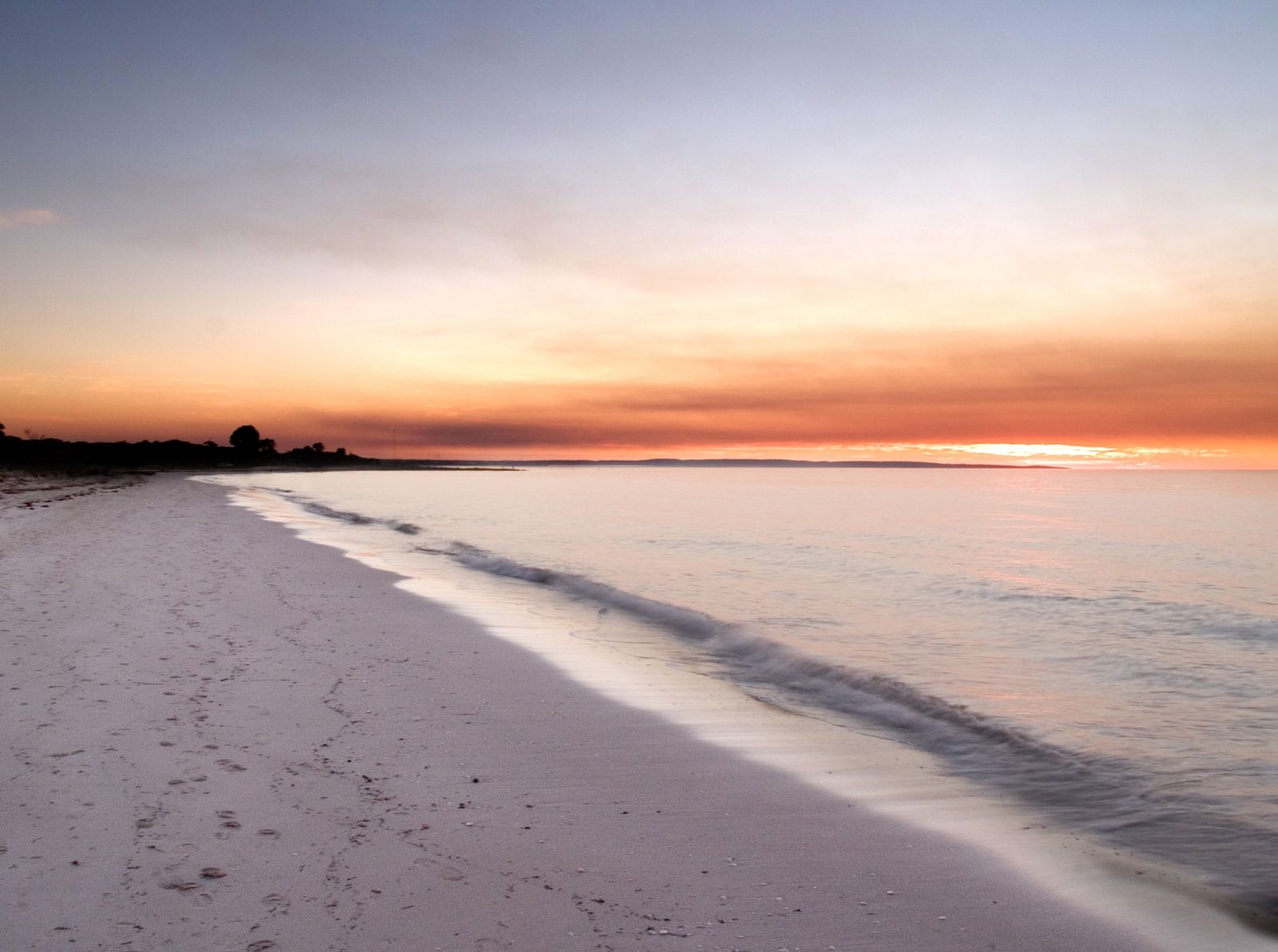
Stretching from Cape Naturaliste to Bunbury, Geographe Bay is a vast, sheltered bay with shimmering turquoise waters and powder-white sand beaches. Its shallow, protected waters — punctuated by seagrass meadows and the famous 1.8 km Busselton Jetty — make it a premier snorkeling destination in the South West Capes region. The jetty's pylons host a thriving underwater ecosystem with hard and soft corals, sea sponges, and colourful fish, plus an underwater sculpture trail. Calm conditions prevail for much of the year, offering beginner-friendly snorkelling straight off the beach.
Geographe Bay
BeginnerMAYBE
MAYBE
Fair. Experienced snorkellers only.
Showing last known conditions
Wave Height 0.3 mSwell Period 12 sWind Speed 1.6 knPrecipitation 0.0 mmTidal Phase ebb
Last evaluated
The spot
Community-maintained
Community contribution: submitted by Daniel
Know before you go
Logged by the community, confirmed by mods
Moderate risk: Deep water at jetty end
Depth reaches 7–9 metres at the far end of the Busselton Jetty — snorkelers cannot touch the bottom; confident swimming required.
Low risk: Boat traffic in navigation channels
Areas outside the jetty's swimming zone see moderate boat traffic from fishing and charter vessels.
Low risk: Stingrays and octopus under jetty
Stingrays and octopus shelter beneath the jetty — avoid reaching into crevices and shuffle feet in sandy shallows.
Wildlife Guide
No wildlife notes for this spot yet.
Gallery
3 photos from the community
Getting in
Shore entry
Entry
Geographe Bay spans from Cape Naturaliste (near Dunsborough) to Bunbury. The most popular snorkeling access is via the Busselton Jetty precinct on Geographe Bay Road, Busselton, about 2.5 hours south of Perth.
Parking & facilities
Large public carpark adjacent to the Busselton Jetty precinct on Foreshore Parade; free parking.
toiletsparkingshowerspicnic_tablesdrinking_water
Free beach access; jetty walk fee ~$4 AUD. Guided snorkel tours available for a fee.
Spot Map
Community
Gallery ┬╖ 3 photos
Trust
Is this spot real, accurate, still loved?
Spots near Western Australia

No nearby spots yet.
Needs verification
Quick verify
One tap helps the community keep this spot honest.
About this data
- Conditions last evaluated
- Spot data last updated
- Data sources
- Open-Meteo (marine & weather conditions), tide predictions via UTide, community contributors (descriptions, hazards, marine life).
- License
- Spot content licensed under CC BY-SA 4.0. How's the Spot is open source.
Weather & swell ┬╖ Open-Meteo marine & weather APIs Tides ┬╖ UTide harmonic analysis Sea & safety ┬╖ community reports