Frogs Beach (also known as Froggies Beach and Little D'bah) is a serene cove tucked between the rocky headland of Point Danger and the powerful surf break of Duranbah Beach at the NSW-QLD border. Sheltered by the headland from prevailing swells, this pocket-sized beach offers calmer waters than its famous neighbour, making it a favoured local retreat for a peaceful paddle and snorkel. The sand gently shelves into clear water with rocky gutters along the headland that harbour small reef fish and the occasional turtle. With grassy picnic areas, barbecues and showers tucked behind the dunes, it's an intimate spot for a relaxed afternoon away from the Gold Coast crowds.
Frogs Beach (Duranbah Beach)
IntermediateMAYBE
MAYBE
Fair. Experienced snorkellers only.
Showing last known conditions
Wave Height 0.6 mSwell Period 6.9 sWind Speed 10 knPrecipitation 0.0 mmTidal Phase flood
Last evaluated
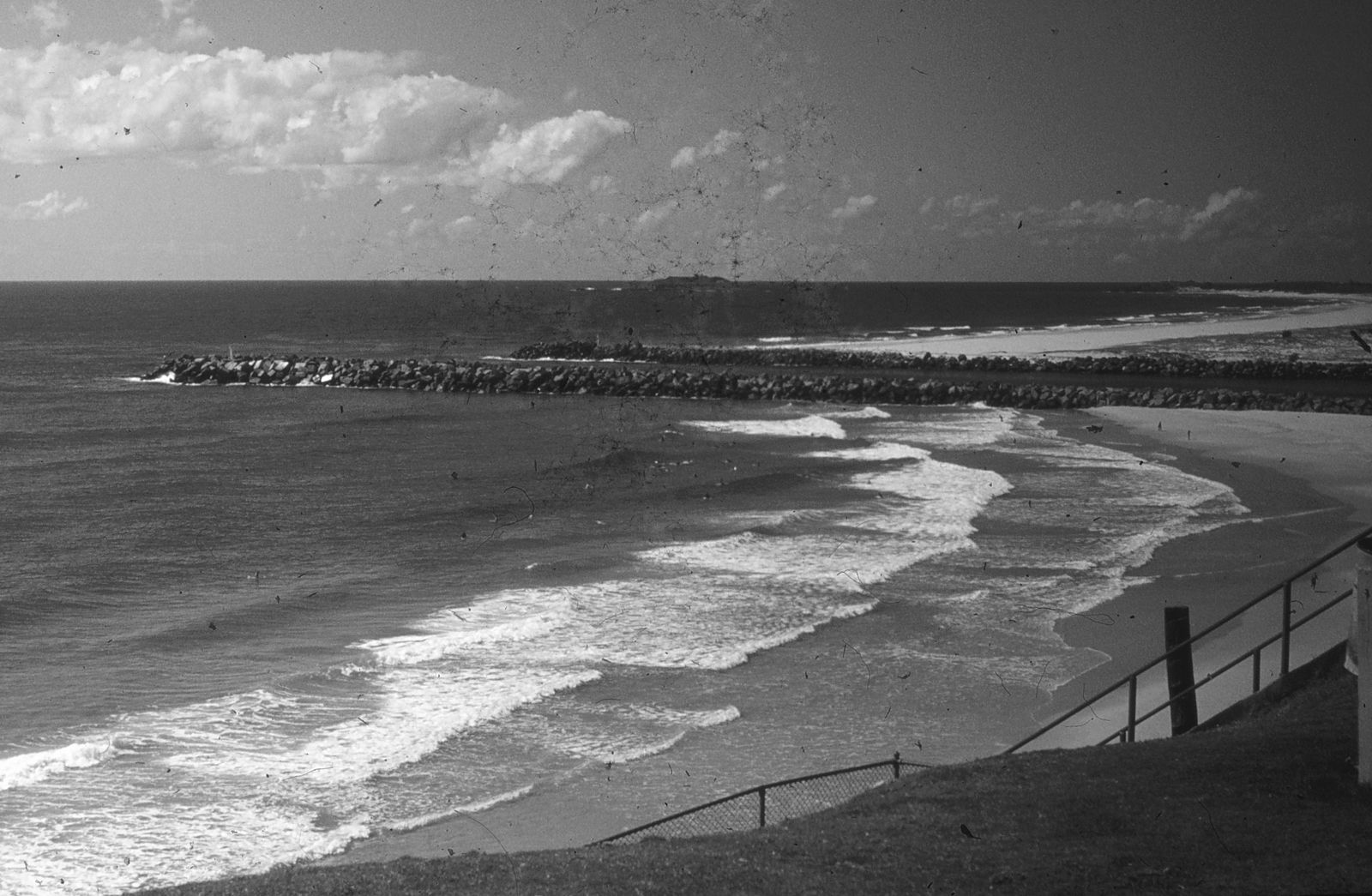 © John Robert McPherson
The spot
Community-maintained
Community contribution: submitted by Daniel
Know before you go
Logged by the community, confirmed by mods
Moderate risk: Rip currents
Strong rip currents are common along open sections of the beach, particularly near the Tweed River entrance.
Moderate risk: Outgoing Tide Current
The Tweed River mouth can generate strong outgoing currents, especially on an ebb tide. Snorkelers should plan for slack or incoming tide.
Moderate risk: Boat Traffic
The Tweed River entrance is a busy boating channel. Snorkelers must stay near the rock wall and display a dive flag.
Moderate risk: Stonefish
Stonefish are known to inhabit the rocky bottom near the training wall. Avoid touching or standing on the rocks.
Moderate risk: Rip currents and surf swell
Strong rips and powerful surf can sweep around the headland, especially during easterly and south-easterly swells. Snorkel close to the sheltered rocks and avoid venturing into the main Duranbah surf zone.
Low risk: Surf break conditions
The beach has multiple surf breaks that can create rough, turbulent water for snorkelers.
Low risk: Boat traffic near river mouth
The Tweed River entrance sees boat and jet ski traffic, creating hazards for swimmers and snorkelers near the southern end.
Low risk: Poor Visibility After Rain
Heavy rainfall significantly reduces underwater visibility in the Tweed River, sometimes to near zero.
Low risk: Tidal currents and reduced visibility
Visibility reduces significantly on a falling or low tide, and outflowing currents from the Tweed River mouth can stir sediment. Best snorkelled on an incoming high tide.
Low risk: Waves wrapping around headland
East-facing exposure means swells can wrap around Point Danger with little warning. Check the surf forecast before entering and avoid days with southerly swell above 1.5 metres.
Wildlife Guide
No wildlife notes for this spot yet.
Gallery
3 photos from the community
Getting in
Shore entry
Entry
Located at the northern end of Duranbah Beach, just south of Snapper Rocks and Point Danger on the NSW-QLD border. Access via Duranbah Road off Boundary Street, Tweed Heads.
Parking & facilities
Limited car parking available near the southern end of the beach along Duranbah Road
parkingtoiletsshowerspicnic_tables
Free
Spot Map
Community
Gallery ┬╖ 3 photos
Trust
Is this spot real, accurate, still loved?
Spots near New South Wales

No nearby spots yet.
Needs verification
Quick verify
One tap helps the community keep this spot honest.
About this data
- Conditions last evaluated
- Spot data last updated
- Data sources
- Open-Meteo (marine & weather conditions), tide predictions via UTide, community contributors (descriptions, hazards, marine life).
- License
- Spot content licensed under CC BY-SA 4.0. How's the Spot is open source.
Weather & swell ┬╖ Open-Meteo marine & weather APIs Tides ┬╖ UTide harmonic analysis Sea & safety ┬╖ community reports