Fowlers Bay Conservation Park spans the remote, wind-swept coastline of the Great Australian Bight, offering sheltered bays and sandy beaches for shore-entry snorkeling. The cool Southern Ocean waters here are famed for their clarity on calm days, revealing granite reef platforms and seagrass meadows. The park's isolation rewards snorkelers with encounters with Australian sea-lions and, from May to October, migrating southern right whales visible just beyond the surf line. The terrain is raw and untamed — towering sand dunes back the coast, while the exposed headlands at Mexican Hat provide dramatic vantage points over the bight.
Fowlers Bay Conservation Park (coastal shore)
IntermediateSKIP
SKIP
Poor conditions. Stay out today.
Showing last known conditions
Wave Height 1.2 mSwell Period 12 sWind Speed 7.2 knPrecipitation 11 mmTidal Phase slack
Last evaluated
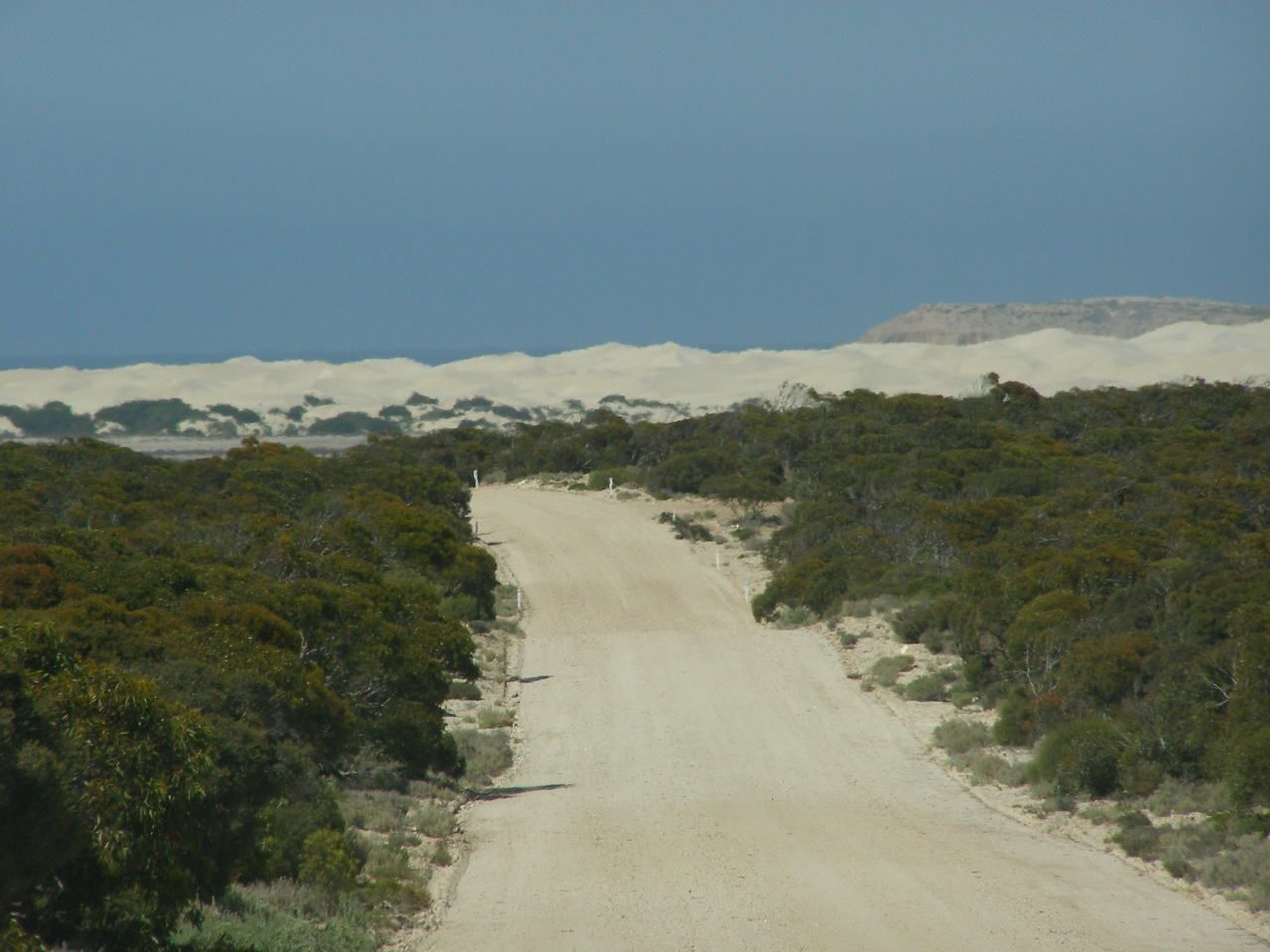 © Kerry Raymond
The spot
Community-maintained
Community contribution: submitted by Daniel
Know before you go
Logged by the community, confirmed by mods
Moderate risk: Rip currents
Swell from the Southern Ocean can produce strong, unpredictable rip currents along the exposed shoreline, particularly near headlands and during southwesterly winds.
Moderate risk: Remote access
Access roads and the salt lake crossing to Scott's Beach become impassable in wet weather; 4WD recommended.
Moderate risk: Large swells
Large southern ocean swells (2.5-4 m) common in the region, especially between autumn and spring, creating hazardous shore break conditions.
Low risk: Isolation
Few facilities and limited mobile reception; the nearest major town (Ceduna) is 119 km away.
Wildlife Guide
No wildlife notes for this spot yet.
Gallery
2 photos from the community
Getting in
Shore entry
Entry
Access from Eyre Highway: 119 km west of Ceduna to the Fowlers Bay turn-off, then into the township. Roads and beaches are signposted. Access across salt lake to Scott's Beach is dry-weather only.
Parking & facilities
Parking available near Mexican Hat Headland and Scott's Beach campgrounds, as well as within Fowlers Bay township.
toiletsparking
Spot Map
Community
Gallery ┬╖ 2 photos
Trust
Is this spot real, accurate, still loved?
Spots near South Australia

No nearby spots yet.
Needs verification
Quick verify
One tap helps the community keep this spot honest.
About this data
- Conditions last evaluated
- Spot data last updated
- Data sources
- Open-Meteo (marine & weather conditions), tide predictions via UTide, community contributors (descriptions, hazards, marine life).
- License
- Spot content licensed under CC BY-SA 4.0. How's the Spot is open source.
Weather & swell ┬╖ Open-Meteo marine & weather APIs Tides ┬╖ UTide harmonic analysis Sea & safety ┬╖ community reports