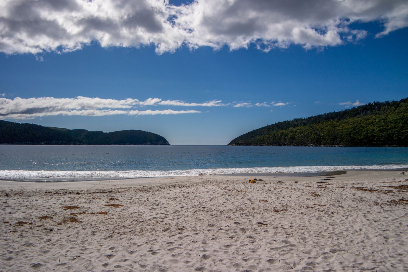
Fortescue Bay is a sheltered, white-sand crescent on the Tasman Peninsula within Tasman National Park, offering temperate-water snorkeling straight off the shore. The calm, protected bay features a shallow sandy entry that drops to rocky reef habitat, where towering giant kelp forests rise from depths of 3–12 metres. The clear, cool waters hold abundant fish life, and a small shipwreck lies within snorkeling range for adventurous explorers. With dramatic sea cliffs and dolerite stacks framing the coastline, this site combines striking scenery with accessible underwater terrain.
Fortescue Bay 1
IntermediateMAYBE
MAYBE
Fair. Experienced snorkellers only.
Showing last known conditions
Wave Height 0.1 mSwell Period 12 sWind Speed 11 knPrecipitation 1.3 mmTidal Phase slack
Last evaluated
The spot
Community-maintained
Community contribution: submitted by Daniel
Know before you go
Logged by the community, confirmed by mods
Moderate risk: Cold water temperatures
Water temperatures in Tasmania are cold year-round (10–16°C) requiring a thick wetsuit or drysuit for comfort and safety.
Low risk: Cold water temperature
Water temperatures rarely exceed 16°C even in summer, requiring a thick wetsuit (5-7mm) for comfort and safety.
Low risk: Kelp entanglement
Thick giant kelp forests close to shore can entangle fins or mask underwater hazards — swim calmly to avoid tangles.
Low risk: Variable visibility
Visibility can change rapidly after wind or swell events; best conditions follow calm weather windows.
Low risk: Dense kelp forests
Dense giant kelp (Macrocystis pyrifera) forests near shore can entangle swimmers and reduce visibility in patches.
Low risk: Swell exposure
Occasional strong swells can roll into the bay during southerly winds, creating challenging conditions for snorkelers.
Wildlife Guide
No wildlife notes for this spot yet.
Gallery
2 photos from the community
Getting in
Shore entry
Entry
Located in Tasman National Park on the Tasman Peninsula, accessible via Fortescue Bay Road off the Arthur Highway.
Parking & facilities
Car park available at the end of Fortescue Bay Road near the campground
parkingtoiletspicnic_tablesboat_ramp
Parks pass required for Tasman National Park entry
Spot Map
Community
Gallery ┬╖ 2 photos
Trust
Is this spot real, accurate, still loved?
Spots near Tasmania

No nearby spots yet.
Needs verification
Quick verify
One tap helps the community keep this spot honest.
About this data
- Conditions last evaluated
- Spot data last updated
- Data sources
- Open-Meteo (marine & weather conditions), tide predictions via UTide, community contributors (descriptions, hazards, marine life).
- License
- Spot content licensed under CC BY-SA 4.0. How's the Spot is open source.
Weather & swell ┬╖ Open-Meteo marine & weather APIs Tides ┬╖ UTide harmonic analysis Sea & safety ┬╖ community reports