Fishers Point sits at the southern extreme of Recherche Bay within the wild Southwest National Park, the most southerly driveable point in Australia. Snorkelers enter from pristine white-sand beaches flanked by granite headlands and crystalline subantarctic waters. The calm, sheltered eastern side of the point offers clear visibility over sandy bottom and rocky reef habitat, where curious seals and dolphins occasionally cruise past. The historic 1843 Pilot Station ruins overlook the shoreline, and on calm days the water mirrors the dramatic peaks of La Perouse and The Hippo. This is a pure, remote Tasmanian snorkel—no crowds, no facilities beyond the basics, just the raw beauty of the southern ocean.
Fishers Point (Recherche Bay)
IntermediateMAYBE
MAYBE
Fair. Experienced snorkellers only.
Showing last known conditions
Wave Height 0.9 mSwell Period 13 sWind Speed 6.3 knPrecipitation 2.7 mmTidal Phase unknown
Last evaluated
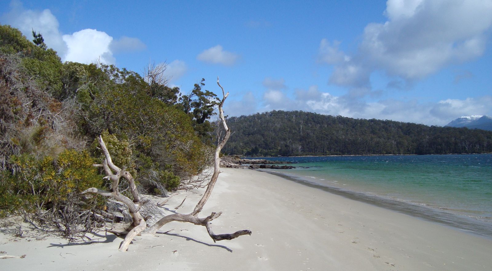 © Tirin aka Takver
DANGER: Explicit Risks Present
Fishers Point (Recherche Bay) has hazards marked as danger. Entering the water here means you may face serious risks to your personal safety.
- Cold water temperatures danger
Water temperatures are cold year-round, sourced from subantarctic currents. Prolonged exposure poses hypothermia risk without adequate wetsuit protection (5 mm+ recommended).
The spot
Community-maintained
Community contribution: submitted by Daniel
Know before you go
Logged by the community, confirmed by mods
High risk: Cold water temperatures
Water temperatures are cold year-round, sourced from subantarctic currents. Prolonged exposure poses hypothermia risk without adequate wetsuit protection (5 mm+ recommended).
Moderate risk: Tide-dependent access
Some sections of beach are inaccessible at high tide; the trail becomes impassable and rocks are exposed. Plan snorkel sessions around low tide.
Moderate risk: Remote location — no lifeguards
Remote beaches have no lifeguards or emergency services. Cell reception is unreliable. Self-sufficiency is essential.
Low risk: Rapid weather changes
Weather in southern Tasmania shifts rapidly; cold fronts bring sudden wind, rain and drops in temperature. Pack warm, waterproof layers.
Wildlife Guide
No wildlife notes for this spot yet.
Gallery
1 photo from the community
Getting in
Shore entry
Entry
Drive 123 km south from Hobart via the Huon Highway to Huonville, then continue 70 km to Hastings Caves Road. Follow Lune River Road to its end at Cockle Creek in Southwest National Park. The trailhead is marked by a whale sculpture. The final section of road is gravel but well maintained and suitable for 2WD vehicles.
Parking & facilities
A small 5–10 vehicle parking area is available at Cockle Creek near the trailhead. Parking is included with a valid parks pass.
parkingtoilets
A valid Tasmanian Parks Pass is required for entry to Southwest National Park. Daily, holiday and annual passes available.
Spot Map
Community
Gallery ┬╖ 1 photos
Trust
Is this spot real, accurate, still loved?
Spots near Tasmania

No nearby spots yet.
Needs verification
Quick verify
One tap helps the community keep this spot honest.
About this data
- Conditions last evaluated
- Spot data last updated
- Data sources
- Open-Meteo (marine & weather conditions), tide predictions via UTide, community contributors (descriptions, hazards, marine life).
- License
- Spot content licensed under CC BY-SA 4.0. How's the Spot is open source.
Weather & swell ┬╖ Open-Meteo marine & weather APIs Tides ┬╖ UTide harmonic analysis Sea & safety ┬╖ community reports