East Beach is a sweeping surf beach on the Bass Strait coast of Low Head, framed by the iconic Low Head Lighthouse at one end and towering sand dunes at the other. The water here is often warm and clear with gentle waves, making it a surprisingly family-friendly spot despite being a surf beach. Lichen-covered granite rocks, colourful pebbles, and shells line the lighthouse end, while the dunes support rich coastal flora. This all-abilities recreation area offers accessible facilities and is a 45-minute drive north of Launceston on the East Tamar Highway.
East Beach (Low Head)
IntermediateGO
GO
It's a go.
Showing last known conditions
Wave Height 0.5 mSwell Period 5.0 sWind Speed 0.8 knPrecipitation 14 mmTidal Phase flood
Last evaluated
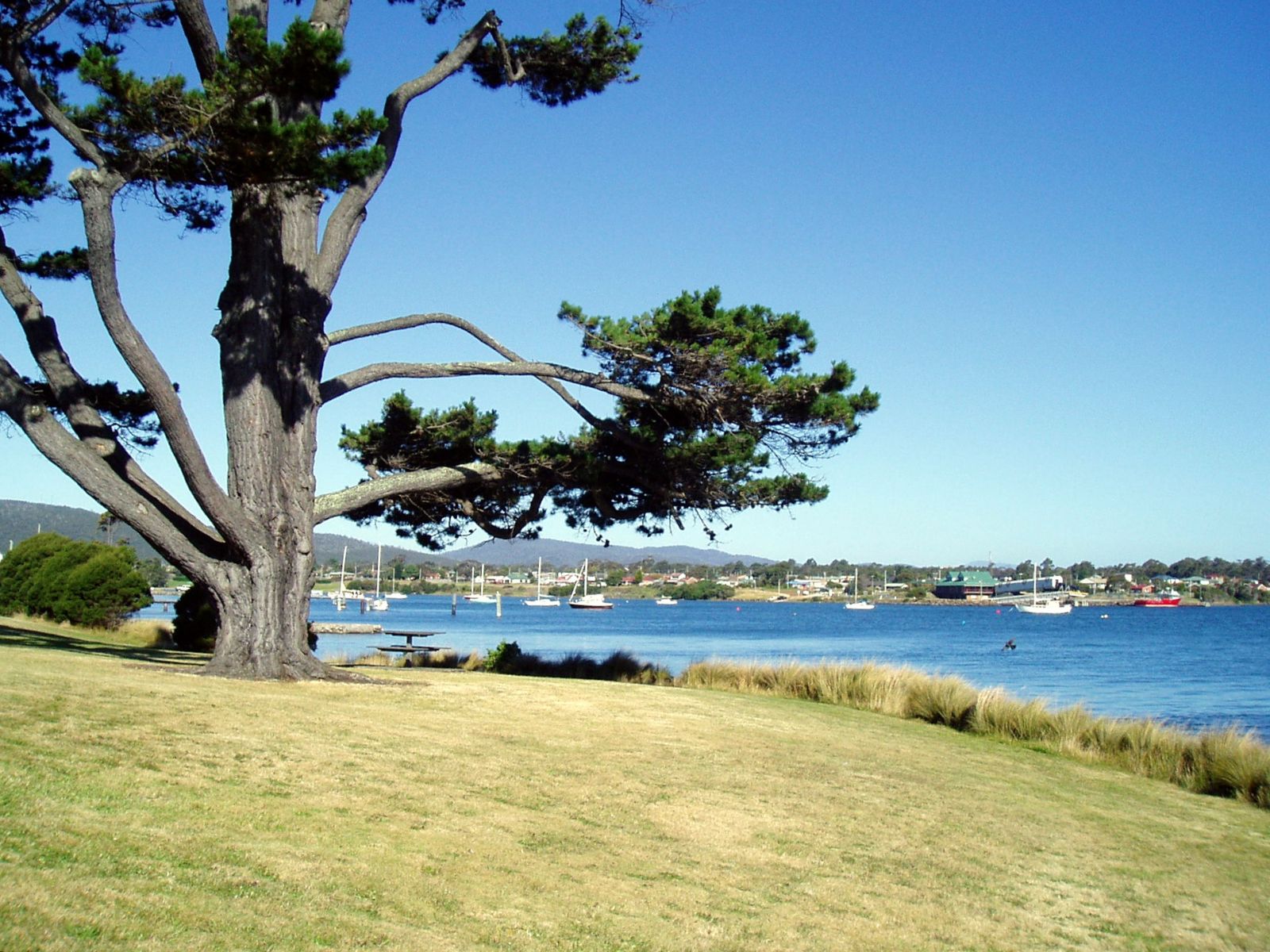 © gekko
The spot
Community-maintained
Community contribution: submitted by Daniel
Know before you go
Logged by the community, confirmed by mods
Moderate risk: Surf rips
East Beach is a surf beach facing Bass Strait that can develop rip currents, especially on rougher days. Swim near patrolled areas and check conditions before entering.
Moderate risk: Rip currents
Rip currents can form near the southern end of the beach during larger swell events.
Low risk: Strong winds
The beach is exposed to Bass Strait winds and can become quite windy, creating choppy surface conditions and reducing water clarity.
Low risk: Cold water temperatures
Bass Strait waters remain cool year-round; even in summer, extended exposure can lead to cold shock or hypothermia. Wetsuit recommended.
Low risk: Surf break / shore dump
Small to moderate surf can develop with onshore winds, creating shore breaks that may surprise weak swimmers.
Low risk: Strong offshore winds
Frequent north-westerly winds can make the beach feel much colder and blow snorkellers offshore.
Wildlife Guide
No wildlife notes for this spot yet.
Gallery
3 photos from the community
Getting in
Shore entry
Entry
From Launceston, take the East Tamar Highway (A8) north for about 45 minutes. The highway becomes Low Head Road. Turn right onto Gunn Parade or East Beach Road (they form a loop) and follow to the beach car park.
Parking & facilities
Ample free parking available at the beach near the picnic area.
toiletsparkingshowerspicnic_tablesdrinking_water
Free access. No entry fee.
Spot Map
Community
Gallery ┬╖ 3 photos
Trust
Is this spot real, accurate, still loved?
Spots near Tasmania

No nearby spots yet.
Needs verification
Quick verify
One tap helps the community keep this spot honest.
About this data
- Conditions last evaluated
- Spot data last updated
- Data sources
- Open-Meteo (marine & weather conditions), tide predictions via UTide, community contributors (descriptions, hazards, marine life).
- License
- Spot content licensed under CC BY-SA 4.0. How's the Spot is open source.
Weather & swell ┬╖ Open-Meteo marine & weather APIs Tides ┬╖ UTide harmonic analysis Sea & safety ┬╖ community reports