Pirates Bay stretches along the eastern side of the narrow Eaglehawk Neck isthmus on the Tasman Peninsula, offering a sweeping 4 km arc of white sand facing the Tasman Sea. This exposed east-facing beach is backed by the famous Tessellated Pavement rock formation — a natural mosaic of eroded dolerite tiles visible at low tide. The bay's crystal-clear waters, rugged sea cliffs, and offshore reefs create an excellent snorkeling environment, with easy shore access from multiple points along the beach. The area is rich in convict-era history as the former Dogline barrier, and the quirky Doo Town community adds local character. A snorkel-tour operator (GoDive) also runs guided seal-swim experiences here.
Eaglehawk Neck / Pirates Bay
BeginnerGO
GO
It's a go.
Showing last known conditions
Wave Height 0.2 mSwell Period 12 sWind Speed 8.0 knPrecipitation 1.8 mmTidal Phase slack
Last evaluated
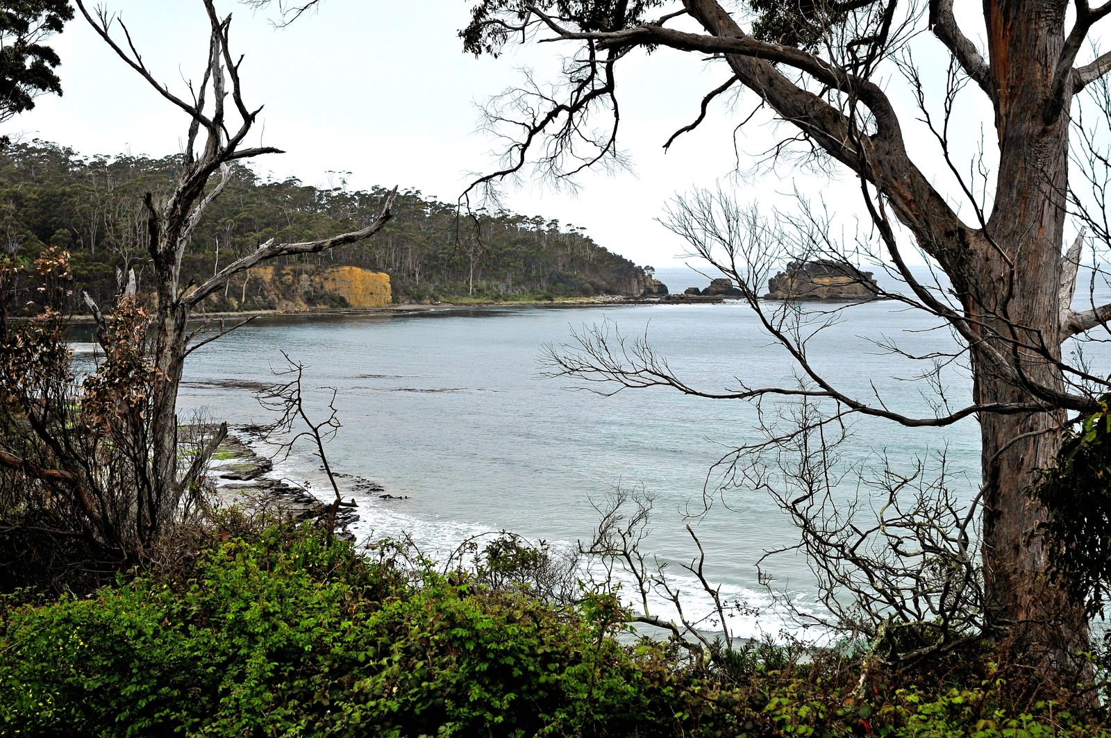 © LBM1948
The spot
Community-maintained
Community contribution: submitted by Daniel
Know before you go
Logged by the community, confirmed by mods
Low risk: Rip currents
East-facing beach exposed to the Tasman Sea; rip currents can form, especially on the northern end near Tessellated Pavement when surf is up.
Low risk: Surge at Tessellated Pavement
The rock platform at the northern end can be slippery and subject to wave surge even on calm days. Best visited at low tide.
Low risk: Cold water temperature
Tasman Sea waters are cold year-round. Extended snorkeling sessions require a wetsuit (5 mm+ recommended).
Wildlife Guide
No wildlife notes for this spot yet.
Gallery
4 photos from the community
Getting in
Shore entry
Entry
About 75 km (1 hour) south-east of Hobart via the Tasman Highway over the Tasman Bridge, then turn south at Sorell onto the Arthur Highway and follow it through Dunalley to Eaglehawk Neck. The beach runs along Pirates Bay Drive.
Parking & facilities
Multiple parking areas along the length of Pirates Bay Drive. Main parking at the northern end near Tessellated Pavement and at the southern end near the Blowhole / Doo Town. Parking is generally free.
toiletsparkingboat_ramp
No fees for beach access. Snorkel tours with GoDive cost approximately $130–$160 per person.
Spot Map
Community
Gallery ┬╖ 4 photos
Trust
Is this spot real, accurate, still loved?
Spots near Tasmania

No nearby spots yet.
Needs verification
Quick verify
One tap helps the community keep this spot honest.
About this data
- Conditions last evaluated
- Spot data last updated
- Data sources
- Open-Meteo (marine & weather conditions), tide predictions via UTide, community contributors (descriptions, hazards, marine life).
- License
- Spot content licensed under CC BY-SA 4.0. How's the Spot is open source.
Weather & swell ┬╖ Open-Meteo marine & weather APIs Tides ┬╖ UTide harmonic analysis Sea & safety ┬╖ community reports