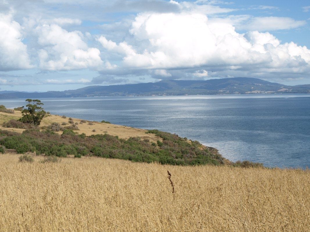
Eaglehawk Island is part of the stunning Dampier Archipelago in WA's Pilbara region — a 42-island wonderland fringed by coral reefs and teeming with marine life. Its south-east facing beach offers calm, shallow snorkeling over hard and soft coral gardens. The island is a turtle nesting site for green, loggerhead, flatback and hawksbill turtles, and the surrounding waters host manta rays, dugongs, and bottlenose dolphins. From July to September, humpback whales migrate through the archipelago. Accessible only by private boat or charter, this remote island delivers pristine Pilbara snorkeling far from the crowds.
Eaglehawk Island
IntermediateGO
GO
It's a go.
Showing last known conditions
Wave Height 0.0 mSwell Period 2.6 sWind Speed 4.0 knPrecipitation 0.0 mmTidal Phase flood
Last evaluated
 © Johnkokavec
The spot
Community-maintained
Community contribution: submitted by Daniel
Know before you go
Logged by the community, confirmed by mods
Moderate risk: Marine stingers (Oct–May)
Box jellyfish and Irukandji may be present in warmer months.
Moderate risk: Marine stingers (Oct–May)
Box jellyfish and Irukandji may be present in warmer months.
Moderate risk: Remote location
No facilities, rangers, or cell service on the island. Self-sufficiency and a charged EPIRB/PLB are essential.
Low risk: Boat traffic
The island is only accessible by boat; vessel traffic in the archipelago requires vigilance while snorkeling near channels.
Low risk: Tidal currents
Tidal movements between the islands can create strong, localised currents around reefs and headlands.
Wildlife Guide
No wildlife notes for this spot yet.
Gallery
1 photo from the community
Getting in
Boat
Entry
Eaglehawk Island lies approximately 20 km north-west of Dampier in the Dampier Archipelago. Launch from Dampier boat ramp (Conzinc Road, Dampier) or join a snorkel charter from Karratha or Dampier. The crossing takes 20–40 minutes depending on vessel and conditions. No public ferry service.
Parking & facilities
Car and trailer parking available at the Dampier boat ramp (Conzinc Road). Limited sealed and unsealed parking spaces.
No entry fee for day access. Camping permitted (max 5 nights) within 100 m of high-water mark on designated beaches — no fires, carry out all waste.
Spot Map
Community
Gallery ┬╖ 1 photos
Trust
Is this spot real, accurate, still loved?
Spots near Western Australia

No nearby spots yet.
Needs verification
Quick verify
One tap helps the community keep this spot honest.
About this data
- Conditions last evaluated
- Spot data last updated
- Data sources
- Open-Meteo (marine & weather conditions), tide predictions via UTide, community contributors (descriptions, hazards, marine life).
- License
- Spot content licensed under CC BY-SA 4.0. How's the Spot is open source.
Weather & swell ┬╖ Open-Meteo marine & weather APIs Tides ┬╖ UTide harmonic analysis Sea & safety ┬╖ community reports