Dromana Beach stretches 3 km along the calm, north-west-facing shore of Port Phillip Bay on the Mornington Peninsula. Famous for its vibrant rows of colourful bathing boxes and a long pier, this protected beach offers reliably flat, clear water ideal for families and beginner snorkelers. The sandy bottom shelves gently, with seagrass beds around the pier pylons attracting small fish and rays. Lifeguards patrol during summer weekends, and the adjacent foreshore reserve has playgrounds, picnic spots, and cafés. It's a classic bayside escape, with the You Yangs visible across the water on clear days.
Dromana Beach
BeginnerMAYBE
MAYBE
Fair. Experienced snorkellers only.
Showing last known conditions
Wave Height 0.2 mSwell Period 12 sWind Speed 2.1 knPrecipitation 32 mmTidal Phase flood
Last evaluated
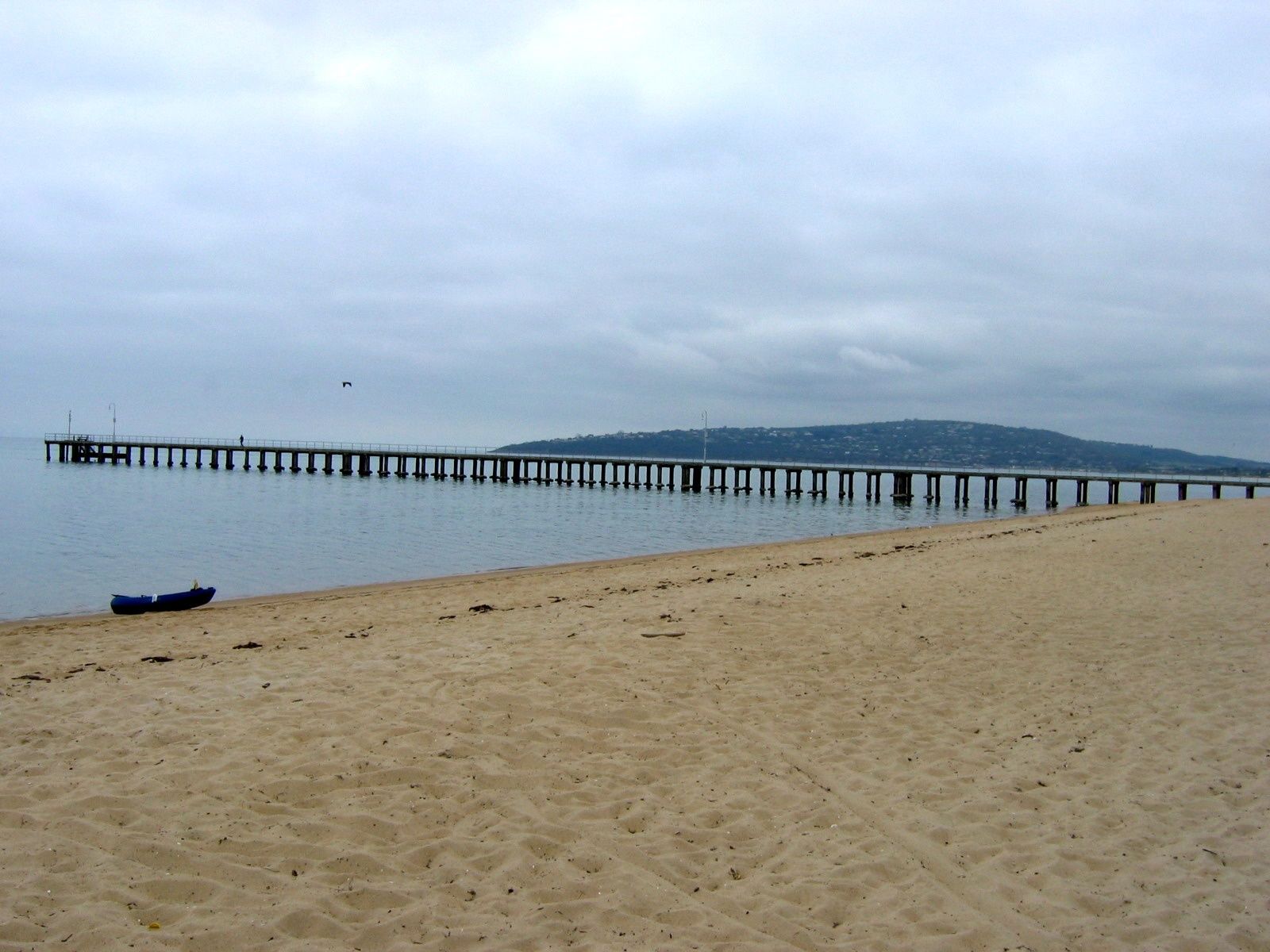 © orderinchaos
The spot
Community-maintained
Community contribution: submitted by Daniel
Know before you go
Logged by the community, confirmed by mods
Low risk: Boat traffic near pier
The Dromana Pier extends well into the bay and is used by recreational boats and watercraft. Snorkelers should stay clear of the pier and keep an eye out for boat movements.
Low risk: Sun exposure
The beach faces north-west, so afternoon sun is strong. Limited natural shade on the sand; sun protection recommended.
Low risk: Stinger jellyfish
Bluebottle jellyfish can occasionally drift into the bay during warmer months, particularly after northerly winds.
Wildlife Guide
No wildlife notes for this spot yet.
Gallery
5 photos from the community
Getting in
Shore entry
Entry
Located on the Mornington Peninsula, Dromana is about 70 km south of Melbourne via the M3 (EastLink) and the Mornington Peninsula Freeway (M11). Take the Dromana exit and follow Point Nepean Road towards the foreshore. The beach runs parallel to this road.
Parking & facilities
Ample metered and free parking along Point Nepean Road and in several foreshore car parks. Pay parking applies during summer and peak periods.
toiletsparkingdrinking_watershowerspicnic_tables
Metered parking in peak times; beach access is free.
Spot Map
Community
Gallery ┬╖ 5 photos
Trust
Is this spot real, accurate, still loved?
Spots near Victoria

No nearby spots yet.
Needs verification
Quick verify
One tap helps the community keep this spot honest.
About this data
- Conditions last evaluated
- Spot data last updated
- Data sources
- Open-Meteo (marine & weather conditions), tide predictions via UTide, community contributors (descriptions, hazards, marine life).
- License
- Spot content licensed under CC BY-SA 4.0. How's the Spot is open source.
Weather & swell ┬╖ Open-Meteo marine & weather APIs Tides ┬╖ UTide harmonic analysis Sea & safety ┬╖ community reports