Diamond Island (also known as Cod Rock) is a 6.76-hectare low granite island nature reserve lying 200 m off Bicheno on Tasmania's east coast. At low tide a broad sand spit connects it to Red Bill Beach, allowing you to walk across to explore fiery lichen-covered rocks, pristine rock pools, and one of Tasmania's largest little penguin rookeries (approx. 200 breeding pairs). The clear temperate waters around the island offer superb shore-entry snorkeling over granite reefs teeming with fish.
Diamond Island
IntermediateGO
GO
It's a go.
Showing last known conditions
Wave Height 0.5 mSwell Period 4.0 sWind Speed 1.2 knPrecipitation 2.1 mmTidal Phase slack
Last evaluated
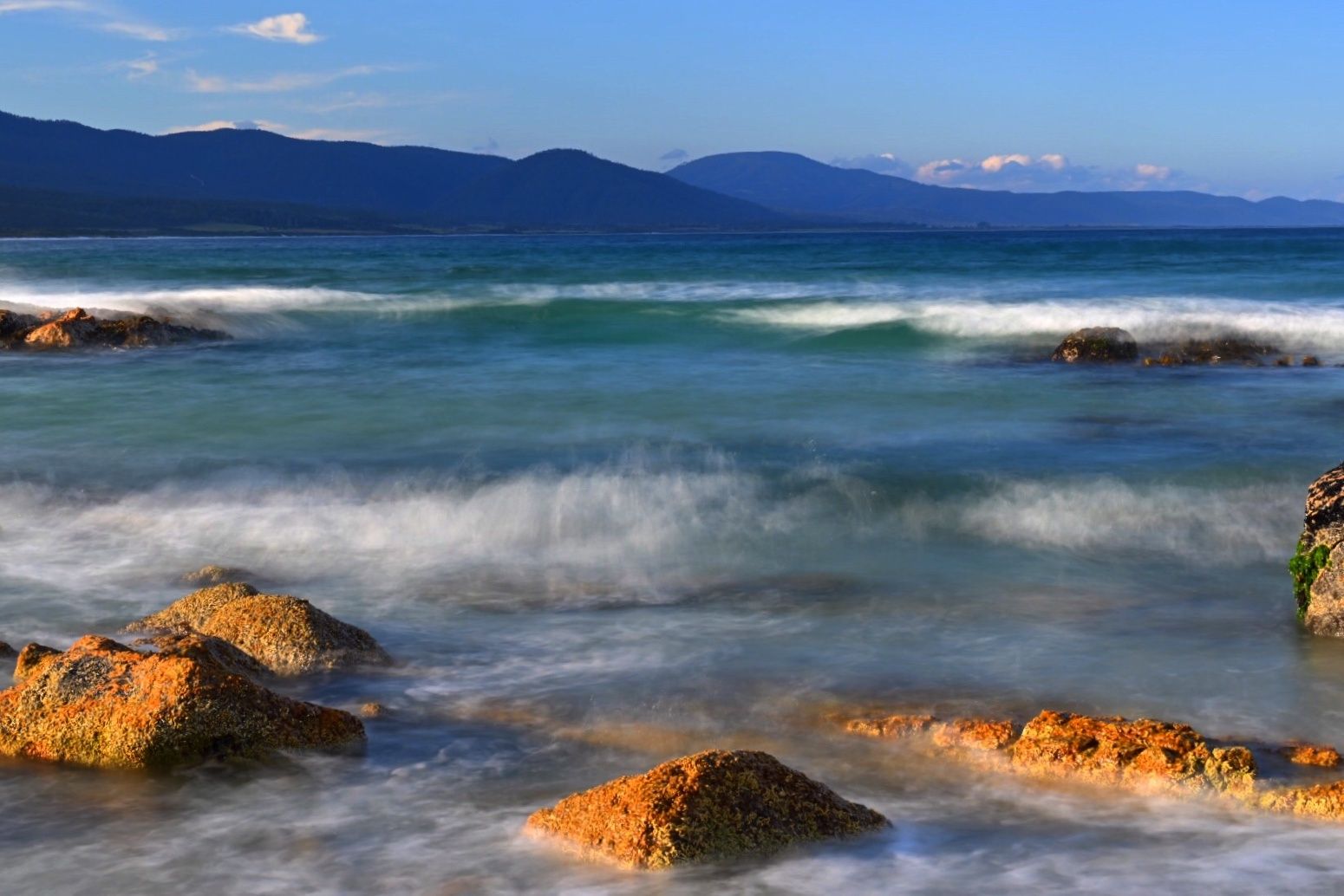 © Mike Friederich
DANGER: Explicit Risks Present
Diamond Island has hazards marked as danger. Entering the water here means you may face serious risks to your personal safety.
- Tidal Cut-off (Sand Spit) danger
The sand spit connecting Diamond Island to the mainland is only exposed at low tide. If you misjudge the tide you can be stranded on the island for up to 12 hours. Always check local tide times before crossing.
The spot
Community-maintained
Community contribution: submitted by Daniel
Know before you go
Logged by the community, confirmed by mods
High risk: Tidal Cut-off (Sand Spit)
The sand spit connecting Diamond Island to the mainland is only exposed at low tide. If you misjudge the tide you can be stranded on the island for up to 12 hours. Always check local tide times before crossing.
Low risk: Uneven Rock Terrain
The island has no formed walking tracks; traversing requires scrambling over uneven, slippery granite boulders and rocks, especially near the shoreline.
Low risk: Cold Water Temperature
Tasmanian east coast waters are temperate and can be very cold (10-16 °C year-round). A wetsuit is strongly recommended for comfort and safety.
Wildlife Guide
No wildlife notes for this spot yet.
Gallery
1 photo from the community
Getting in
Shore entry
Entry
From central Bicheno, head north along the Tasman Highway / Burgess Street to Red Bill Beach. Park at the Red Bill Beach car park (signed). Walk approximately 10 minutes along the beach southward to the sand spit connecting to Diamond Island. Crossing the sand spit is only possible at low tide.
Parking & facilities
Free car park at Red Bill Beach, Bicheno, just off Burgess Street (the Tasman Highway).
parking
Free. No fees to access the island or snorkel.
Spot Map
Community
Gallery ┬╖ 1 photos
Trust
Is this spot real, accurate, still loved?
Spots near Tasmania

No nearby spots yet.
Needs verification
Quick verify
One tap helps the community keep this spot honest.
About this data
- Conditions last evaluated
- Spot data last updated
- Data sources
- Open-Meteo (marine & weather conditions), tide predictions via UTide, community contributors (descriptions, hazards, marine life).
- License
- Spot content licensed under CC BY-SA 4.0. How's the Spot is open source.
Weather & swell ┬╖ Open-Meteo marine & weather APIs Tides ┬╖ UTide harmonic analysis Sea & safety ┬╖ community reports