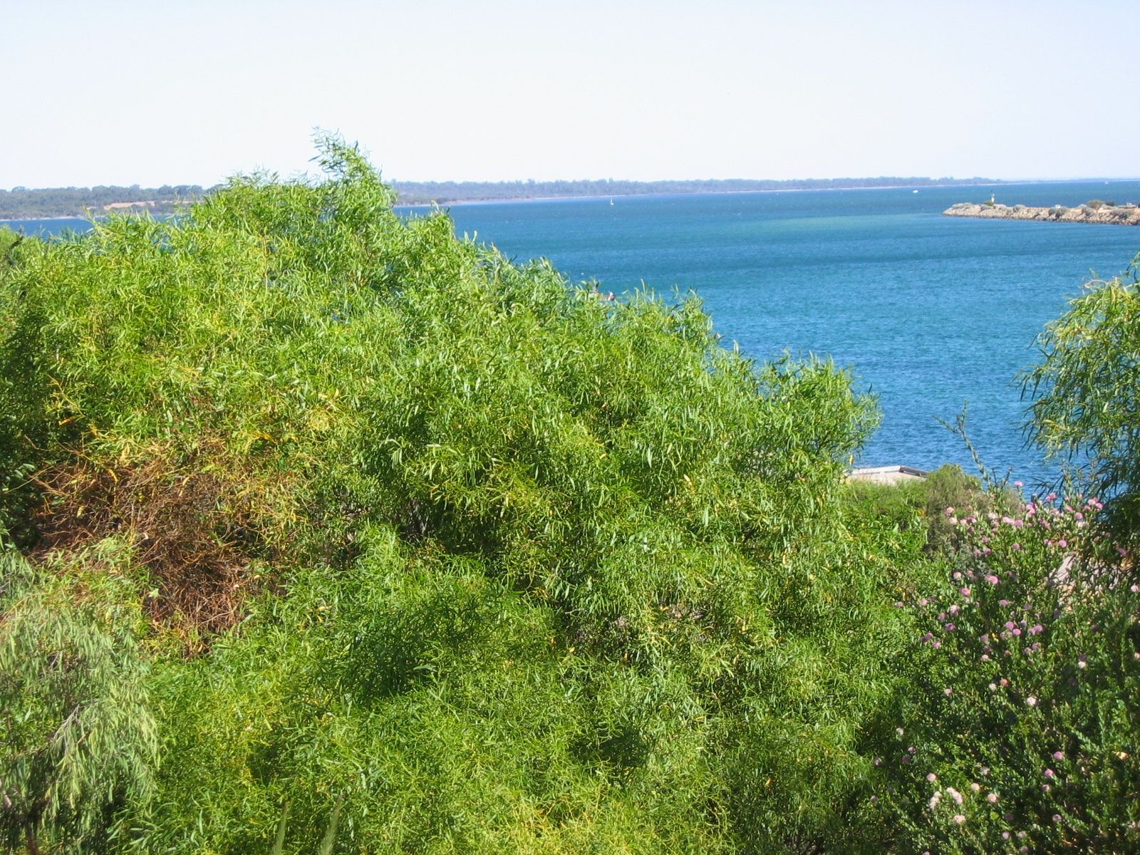
Dawesville Channel is a man-made cut connecting the Peel Inlet and Harvey Estuary to the Indian Ocean at Dawesville, roughly 90 km south of Perth. This engineered waterway creates a dynamic mixing zone where estuarine and marine waters meet, offering clear snorkelling conditions on calm days near the channel entrance. The surrounding area is famed for its thrombolite formations (living fossil microbialites) in nearby Lake Clifton, while the channel itself attracts a variety of fish drawn by tidal flows. Nestled between white-sand beaches and coastal bushland, it's a unique spot for snorkellers interested in exploring the interface of ocean and estuary ecosystems.
Dawesville Channel
IntermediateMAYBE
MAYBE
Fair. Experienced snorkellers only.
Showing last known conditions
Wave Height 0.6 mSwell Period 12 sWind Speed 0.7 knPrecipitation 0.8 mmTidal Phase ebb
Last evaluated
DANGER: Explicit Risks Present
Dawesville Channel has hazards marked as danger. Entering the water here means you may face serious risks to your personal safety.
- Strong tidal currents danger
The channel connects the estuary to the ocean, generating powerful tidal flows through the cut that can sweep swimmers out to sea or into the estuary. Extremely dangerous at peak tidal movement.
The spot
Community-maintained
Community contribution: submitted by Daniel
Know before you go
Logged by the community, confirmed by mods
High risk: Strong tidal currents
The channel connects the estuary to the ocean, generating powerful tidal flows through the cut that can sweep swimmers out to sea or into the estuary. Extremely dangerous at peak tidal movement.
Moderate risk: Boat traffic
The Dawesville Cut is a busy navigational channel used by fishing boats, recreational vessels, and jet skis transiting between the Peel Inlet and the Indian Ocean.
Moderate risk: Changing water conditions
Mixing ocean swells and estuarine outflow creates turbulent, unpredictable water conditions with sudden changes in visibility and current strength.
Moderate risk: Tidal currents in channel
Strong tidal flows rush through the narrow Dawesville Channel as the estuary drains and fills, creating powerful currents that can sweep snorkellers away from the entrance zone. Most dangerous around peak tidal movement.
Low risk: Stinger jellyfish
Box jellyfish and other stinger species may be present in warmer estuarine and nearshore waters during the summer months (November to April).
Wildlife Guide
No wildlife notes for this spot yet.
Gallery
5 photos from the community
Getting in
Shore entry
Entry
From Perth, take the Kwinana Freeway south (becoming the Forrest Highway) toward Mandurah. Exit onto Old Coast Road, then turn onto Estuary Drive heading south into Dawesville. The channel entrance is accessible from Pyramids Beach car park on the ocean side or from the Dawesville Foreshore Reserve on the estuary side.
Parking & facilities
Parking is available at Pyramids Beach car park (ocean side of the channel) and at Dawesville Foreshore Reserve (estuary side). Both offer free parking, though they can fill up on summer weekends and public holidays.
parkingtoiletspicnic_tablesboat_ramp
Free access. No entry fees apply.
Spot Map
Community
Gallery ┬╖ 5 photos
Trust
Is this spot real, accurate, still loved?
Spots near Western Australia

No nearby spots yet.
Needs verification
Quick verify
One tap helps the community keep this spot honest.
About this data
- Conditions last evaluated
- Spot data last updated
- Data sources
- Open-Meteo (marine & weather conditions), tide predictions via UTide, community contributors (descriptions, hazards, marine life).
- License
- Spot content licensed under CC BY-SA 4.0. How's the Spot is open source.
Weather & swell ┬╖ Open-Meteo marine & weather APIs Tides ┬╖ UTide harmonic analysis Sea & safety ┬╖ community reports