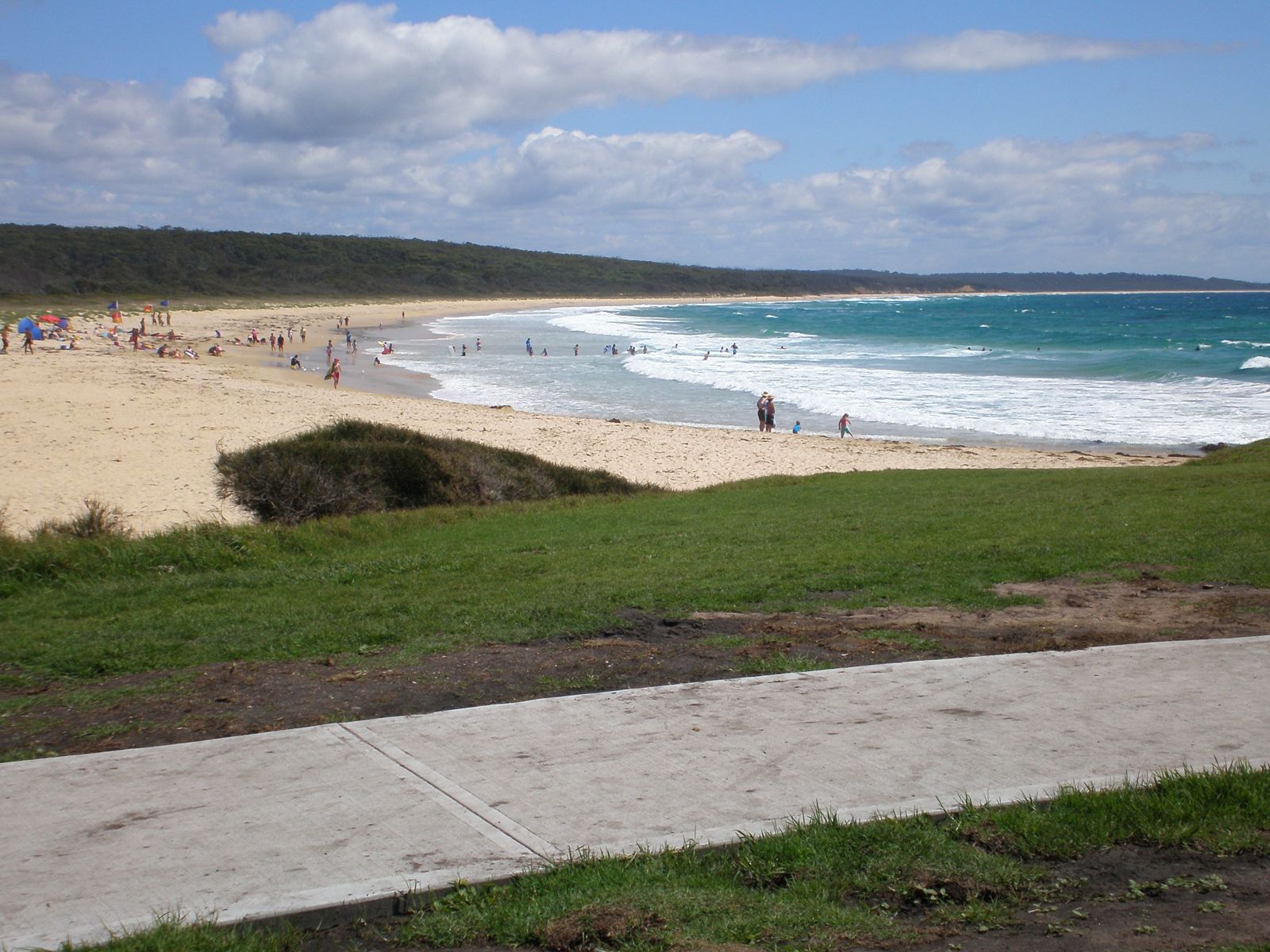
Dalmeny Beach is a tranquil, unspoiled stretch of sand on the NSW South Coast within Eurobodalla National Park, near Narooma. Protected by rocky headlands, the beach offers calm, shallow waters close to shore — ideal for snorkelers to explore rocky reef formations teeming with nooks and crannies. The adjacent Dalmeny Campground provides direct beachfront access, making this a relaxed, family-friendly snorkel spot away from the crowds.
Dalmeny Beach
BeginnerGO
GO
It's a go.
Showing last known conditions
Wave Height 0.6 mSwell Period 6.2 sWind Speed 6.5 knPrecipitation 15 mmTidal Phase flood
Last evaluated
The spot
Community-maintained
Community contribution: submitted by Daniel
Know before you go
Logged by the community, confirmed by mods
Low risk: Outgoing tide current
Gentle currents can develop near the southern rocky headland on an outgoing tide, particularly during larger swell events.
Low risk: Rocky reef edges
Sharp rock formations and ledges are exposed at low tide near the headlands; care needed when entering and exiting the water.
Wildlife Guide
No wildlife notes for this spot yet.
Gallery
1 photo from the community
Getting in
Shore entry
Entry
From Princes Highway, turn east onto Dalmeny Drive and follow it to the beach. The Dalmeny Campground is located right on the beachfront. From Sydney, take the A1 south for approximately 4 hours; from Canberra, take the Kings Highway to Batemans Bay then south along the Princes Highway.
Parking & facilities
Parking available at Dalmeny Campground and along Dalmeny Drive near the beach access points.
toiletsparkingshowerspicnic_tablesdrinking_water
No day-use fee for beach access. Camping fees apply at Dalmeny Campground if staying overnight.
Spot Map
Community
Gallery ┬╖ 1 photos
Trust
Is this spot real, accurate, still loved?
Spots near Victoria

No nearby spots yet.
Needs verification
Quick verify
One tap helps the community keep this spot honest.
About this data
- Conditions last evaluated
- Spot data last updated
- Data sources
- Open-Meteo (marine & weather conditions), tide predictions via UTide, community contributors (descriptions, hazards, marine life).
- License
- Spot content licensed under CC BY-SA 4.0. How's the Spot is open source.
Weather & swell ┬╖ Open-Meteo marine & weather APIs Tides ┬╖ UTide harmonic analysis Sea & safety ┬╖ community reports