Crowdy Head Lighthouse perches atop a dramatic headland 61 m above sea level, where the rocky shoreline drops into clear sub-tropical waters teeming with marine life. The underwater terrain here features a mix of boulder fields, shallow gutters, and sand patches just off the headland's base, accessible from the sheltered side of the bay. Snorkelers can drift along the rocky reef edges near the boat ramp and beach, exploring crevices and kelp-covered ledges in calm conditions. The historic 1878 lighthouse provides a striking landmark above, while below the water offers a genuine wild Mid North Coast reef experience with excellent visibility on the right day.
Crowdy Head Lighthouse vicinity
IntermediateGO
GO
It's a go.
Showing last known conditions
Wave Height 0.5 mSwell Period 8.3 sWind Speed 2.4 knPrecipitation 0.1 mmTidal Phase slack
Last evaluated
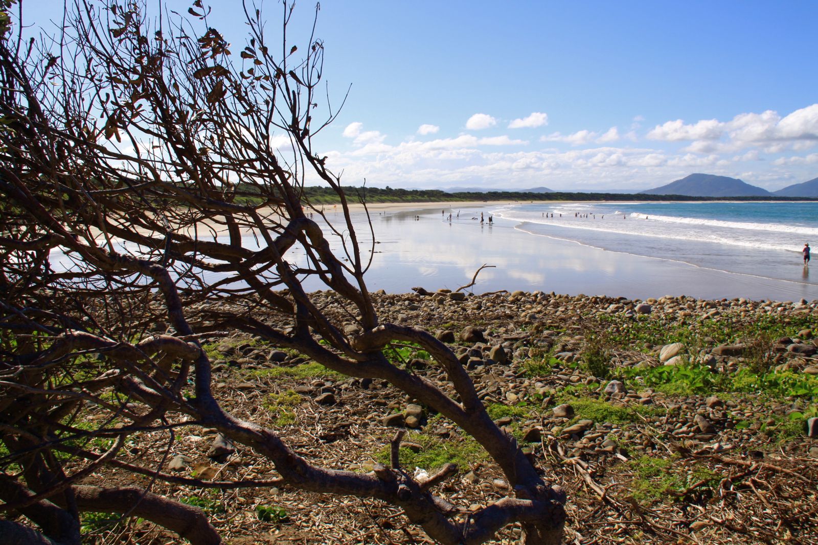 © Rob Freijs
The spot
Community-maintained
Community contribution: submitted by Daniel
Know before you go
Logged by the community, confirmed by mods
Moderate risk: Rip currents
Strong rips can form along the open beach, especially near the southern headland. Swim between the flags when patrol is active.
Moderate risk: Sharks
This area has a known history of shark incidents. Caution advised, particularly during dawn, dusk, and after rain.
Moderate risk: Swell and surf
Exposed beach breaks can produce powerful waves making entry and exit challenging; best snorkelled on low-swell days.
Moderate risk: Ocean swells and surge
The exposed headland can receive significant ocean swell, creating strong surge over shallow reef sections. Snorkel only on calm, low-swell days.
Moderate risk: Ocean swell and surge
The exposed headland can receive significant ocean swell, creating surging conditions around the rocky base. Best snorkeled in calm, low-swell weather.
Moderate risk: Strong ocean currents
Offshore gutters and pinnacles can have strong tidal currents, especially around Mermaid Reef and the Cod Grounds area.
Moderate risk: Swell and surge
Exposed offshore sites can get large swells and significant surge, particularly around shallower bommies and rock walls.
Low risk: Surf conditions
Beach can receive moderate to large swell, creating dumping waves and shore breaks that are hazardous for inexperienced swimmers.
Low risk: Marine stingers
Bluebottles and other jellyfish may be present during warmer months, particularly after north-easterly winds.
Low risk: Shark activity
The wider Crowdy Bay area has recorded shark encounters; caution advised particularly near deeper channels and at dawn/dusk.
Low risk: Variable water clarity
Southerly swells and wind can stir up sand, reducing visibility significantly; pick calm northerly days for best conditions.
Low risk: Rock platform cuts and barnacles
Sharp barnacle-encrusted rocks on the reef platform can cause cuts when entering or exiting the water in rough conditions.
Low risk: Changing tides
Tidal movement can rapidly change water depth over the reef, exposing dangerous areas and altering entry/exit points.
Low risk: Rocks and submerged reef
Sharp sandstone/basalt rock platforms and reef edges with potential for cuts and scrapes. Sturdy footwear or reef booties recommended.
Low risk: Vessel traffic
The offshore bay is used by local fishing and charter boats; snorkelers should maintain awareness of boat traffic in the dive site areas.
Low risk: Variable visibility
Water visibility can vary significantly depending on weather and swell conditions, from crystal clear to reduced visibility after storms.
Wildlife Guide
No wildlife notes for this spot yet.
Gallery
8 photos from the community
Getting in
Shore entry
Entry
Located 33 km north-east of Taree. Drive to Crowdy Head via Crowdy Head Road. Park near the lighthouse carpark at the end of the road. The rocky shore is accessed via a short walk from the parking area down to the beach or boat ramp area on the sheltered (southern) side of the headland.
Parking & facilities
Limited parking available near the lighthouse and at the boat ramp area adjacent to Crowdy Head Beach.
parkingtoiletsboat_ramp
No fees for snorkeling access. Crowdy Bay National Park may have applicable park entry fees if accessing via park trails.
Spot Map
Community
Gallery ┬╖ 8 photos
Trust
Is this spot real, accurate, still loved?
Spots near New South Wales

No nearby spots yet.
Needs verification
Quick verify
One tap helps the community keep this spot honest.
About this data
- Conditions last evaluated
- Spot data last updated
- Data sources
- Open-Meteo (marine & weather conditions), tide predictions via UTide, community contributors (descriptions, hazards, marine life).
- License
- Spot content licensed under CC BY-SA 4.0. How's the Spot is open source.
Weather & swell ┬╖ Open-Meteo marine & weather APIs Tides ┬╖ UTide harmonic analysis Sea & safety ┬╖ community reports