Crayfish Beach sits on the eastern side of Hook Island, in the heart of the Whitsundays, where a spectacular fringing reef flat lies just metres offshore. This secluded campsite beach fronts Mackerel Bay and offers exceptional snorkelling right from the shoreline — glide over expansive coral gardens alive with tropical fish, with the mountainous backdrop of Hook Island rising behind you. The reef flat is best explored at high tide, when the clear, calm water reveals a vibrant underwater world. As part of the Great Barrier Reef Marine Park, the snorkelling here rivals the best in the region, with easy access straight from the sand.
Crayfish Beach
IntermediateGO
GO
It's a go.
Showing last known conditions
Wave Height 0.1 mSwell Period 2.5 sWind Speed 5.6 knPrecipitation 0.3 mmTidal Phase flood
Last evaluated
DANGER: Explicit Risks Present
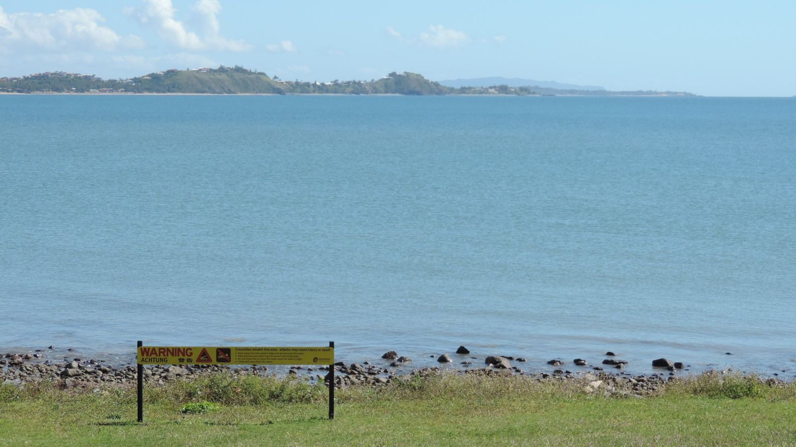
Crayfish Beach has hazards marked as danger. Entering the water here means you may face serious risks to your personal safety.
- Box Jellyfish danger
Box jellyfish (Chironex fleckeri) with nearly transparent bell up to 30 cm across and up to 15 tentacles. Stings can be severe; treat with vinegar and seek medical attention.
- Irukandji Jellyfish danger
Irukandji jellyfish may cause delayed symptoms including headaches, muscle pain, vomiting, and sweating. Stings can be fatal. Treat with vinegar and seek medical attention.
The spot
Community-maintained
Community contribution: submitted by Daniel
Know before you go
Logged by the community, confirmed by mods
High risk: Box Jellyfish
Box jellyfish (Chironex fleckeri) with nearly transparent bell up to 30 cm across and up to 15 tentacles. Stings can be severe; treat with vinegar and seek medical attention.
High risk: Irukandji Jellyfish
Irukandji jellyfish may cause delayed symptoms including headaches, muscle pain, vomiting, and sweating. Stings can be fatal. Treat with vinegar and seek medical attention.
Moderate risk: Rip Currents
Tidal currents and rips can occur along this 6 km open beach, particularly near McReady's Creek mouth. Swimmers should stay between the flags where patrolled.
Moderate risk: Marine Stingers General
Wear a stinger suit when swimming or snorkelling during the stinger season (October to May).
Moderate risk: Tidal access restrictions
Boat-only access requires careful attention to tide levels — shallow craft recommended and approach only at mid-to-high tide.
Low risk: Low tide shallow reef flat
Snorkelling is best at high tide; at low tide the reef flat becomes very shallow, making swimming difficult and increasing risk of coral injury.
Low risk: Marine stingers
Marine stingers (box jellyfish) may be present in tropical Queensland waters during the warmer months.
Low risk: Tidal currents
Strong tidal currents can develop around the reef flat, especially during changing tides.
Wildlife Guide
No wildlife notes for this spot yet.
Gallery
1 photo from the community
Getting in
Boat
Entry
Accessible only by private or charter boat. Located on the eastern side of Hook Island in Mackerel Bay, within the Whitsunday Islands National Park. Best approached at mid-to-high tide by shallow-draft vessels. Depart from Airlie Beach or Shute Harbour (approx. 1–2 hours by boat).
Parking & facilities
No parking — this is a boat-access-only island campsite. Leave vehicles at Shute Harbour or Airlie Beach marinas.
toiletspicnic_tables
Camping permit required — book via Queensland Parks. Prices from approx. $7/night/person.
Spot Map
Community
Gallery ┬╖ 1 photos
Trust
Is this spot real, accurate, still loved?
Spots near Queensland

No nearby spots yet.
Needs verification
Quick verify
One tap helps the community keep this spot honest.
About this data
- Conditions last evaluated
- Spot data last updated
- Data sources
- Open-Meteo (marine & weather conditions), tide predictions via UTide, community contributors (descriptions, hazards, marine life).
- License
- Spot content licensed under CC BY-SA 4.0. How's the Spot is open source.
Weather & swell ┬╖ Open-Meteo marine & weather APIs Tides ┬╖ UTide harmonic analysis Sea & safety ┬╖ community reports