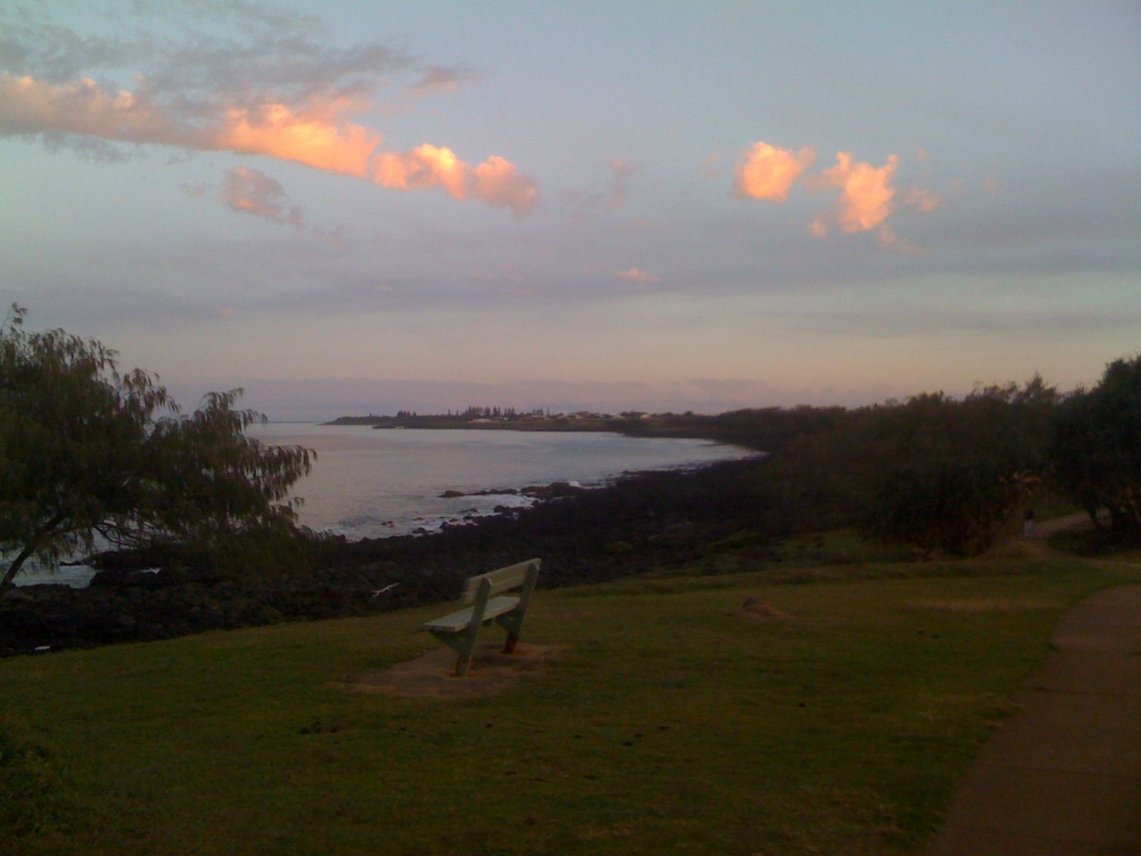
Coral Cove is a small headland suburb on Queensland's Coral Coast between Innes Park and Elliott Heads, about 20 minutes from Bundaberg. On calm days at low tide, the fringing rock shelf off the beach transforms into the region's best shore snorkelling — no boat required. Snorkelers can drift over textured coral gardens teeming with reef fish and the occasional green turtle. The headland also hosts a clifftop golf course with sweeping ocean views. Conditions decide everything: calm, low tide is magic; rough days turn the shelf into a washing machine. Wear reef shoes and reef-safe sunscreen.
Corals Cove (Coral Cove)
IntermediateGO
GO
It's a go.
Showing last known conditions
Wave Height 0.3 mSwell Period 4.0 sWind Speed 0.4 knPrecipitation 0.0 mmTidal Phase flood
Last evaluated
 © Nighthaze3320
The spot
Community-maintained
Community contribution: submitted by Daniel
Know before you go
Logged by the community, confirmed by mods
Moderate risk: Swell and Surf Conditions
On windy days or when swell is up, the rock shelf becomes dangerous with washing-machine-like surge and strong breaking waves.
Moderate risk: Marine stingers (Nov–May)
Box jellyfish and other marine stingers may be present in the warmer months.
Moderate risk: Rough swell / washing machine conditions
On days with strong wind or large swell, the rock shelf becomes dangerous with turbulent water. Swim elsewhere on rough days.
Moderate risk: Sea conditions (swell/wind)
Best snorkelling conditions require low tide and calm seas. Swell and wind can create hazardous conditions on the exposed rock shelf.
Low risk: Sharp Rock Shelf
The fringing volcanic rock shelf is sharp and uneven — reef shoes or booties are essential to avoid cuts.
Low risk: Outgoing Tide Current
Snorkelling is best on the bottom half of the tide; an outgoing tide can create currents over the shallow shelf.
Low risk: Marine Life Hazards
Coral and rock shelf habitats may contain stonefish, urchins, and other venomous or sharp organisms — do not touch.
Low risk: Rocky terrain
Entry and exit are over basalt rock formations; sharp rocks and uneven footing require care when entering and exiting the water.
Low risk: Changing tides and currents
Tidal flows can create currents around the reef rocks, particularly during incoming and outgoing tides.
Low risk: Rock shelf cuts and scrapes
Sharp fringing rock shelf can cause cuts if not wearing protective footwear. Reef shoes strongly recommended.
Low risk: Tidal currents on rock shelf
The snorkelling shelf is best at lower tide. At higher tide or during tidal flow, currents can make swimming challenging over the rock shelf.
Low risk: Slippery rock shelf
The rock shelf can be extremely slippery when wet, especially on the black basalt lava rock formations.
Low risk: Marine stingers
Marine stingers (jellyfish) can be present, particularly during the warmer summer months, though this area is south of the major stinger zone.
Low risk: Sharp volcanic rock
Sharp edges on the volcanic rock formations can cause cuts and scrapes when entering or exiting the water.
Wildlife Guide
No wildlife notes for this spot yet.
Gallery
2 photos from the community
Getting in
Shore entry
Entry
About a 20-minute drive south-east of Bundaberg city, between Innes Park and Elliott Heads on the Coral Coast. Follow the Bargara road towards the coast, then head south to Coral Cove.
Parking & facilities
Carpark available at Coral Cove Foreshore park near the beach access.
parkingtoiletspicnic_tables
Free public access. No entry fee.
Spot Map
Community
Gallery ┬╖ 2 photos
Trust
Is this spot real, accurate, still loved?
Spots near Queensland

No nearby spots yet.
Needs verification
Quick verify
One tap helps the community keep this spot honest.
About this data
- Conditions last evaluated
- Spot data last updated
- Data sources
- Open-Meteo (marine & weather conditions), tide predictions via UTide, community contributors (descriptions, hazards, marine life).
- License
- Spot content licensed under CC BY-SA 4.0. How's the Spot is open source.
Weather & swell ┬╖ Open-Meteo marine & weather APIs Tides ┬╖ UTide harmonic analysis Sea & safety ┬╖ community reports