Clam Bay, on the southern side of Great Keppel Island, is a renowned coral trout breeding ground and a protected Green Zone (strict no-take) within the Southern Great Barrier Reef. The fringing reef sits just off the beach and extends the full length of the bay, wrapping around the southeastern point. Snorkelers swim out from the sandy shore at mid-to-low tide to explore the edge of the reef slope, where juvenile coral colonies, sea turtles, and colourful anemones thrive. Best visited in northerly or easterly wind conditions, this secluded spot offers a wild, uncrowded reef experience away from the main ferry beaches.
Clam Bay (Great Keppel Island)
IntermediateGO
GO
It's a go.
Showing last known conditions
Wave Height 0.1 mSwell Period 5.3 sWind Speed 1.0 knPrecipitation 0.0 mmTidal Phase flood
Last evaluated
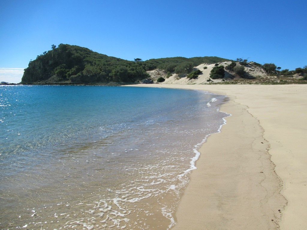 © David Stanley
The spot
Community-maintained
Community contribution: submitted by Daniel
Know before you go
Logged by the community, confirmed by mods
Low risk: Wind-exposed in southerly conditions
Best snorkeling conditions are during northerly or easterly winds. Southerly or westerly winds can create choppy conditions and reduce visibility.
Low risk: Tide-dependent reef access
Snorkeling along the reef edge is best at mid-to-low tide. Low tide exposes shallow coral heads and requires careful navigation to avoid contact.
Low risk: Remote location
Located on the southern side of the island, away from main amenities. Requires a long bushwalk or boat access; limited ability to return quickly in an emergency.
Wildlife Guide
No wildlife notes for this spot yet.
Gallery
3 photos from the community
Getting in
Boat
Entry
From mainland Yeppoon, take a 30-minute ferry or water taxi from Rosslyn Bay Marina to Great Keppel Island. Clam Bay is located on the southern side of the island. Access the reef by private boat, water taxi, or a challenging bushwalk from Fishermans Beach. Enter the water directly from the beach and swim out along the edge of the reef.
Parking & facilities
Free long-term parking available at Rosslyn Bay Marina car parks; secure paid parking also available near the ferry terminal at Rosslyn Bay Marina on the mainland. No parking on the island itself — it's pedestrian-only once you arrive by ferry or water taxi.
Spot Map
Community
Gallery ┬╖ 3 photos
Trust
Is this spot real, accurate, still loved?
Spots near Queensland

No nearby spots yet.
Needs verification
Quick verify
One tap helps the community keep this spot honest.
About this data
- Conditions last evaluated
- Spot data last updated
- Data sources
- Open-Meteo (marine & weather conditions), tide predictions via UTide, community contributors (descriptions, hazards, marine life).
- License
- Spot content licensed under CC BY-SA 4.0. How's the Spot is open source.
Weather & swell ┬╖ Open-Meteo marine & weather APIs Tides ┬╖ UTide harmonic analysis Sea & safety ┬╖ community reports