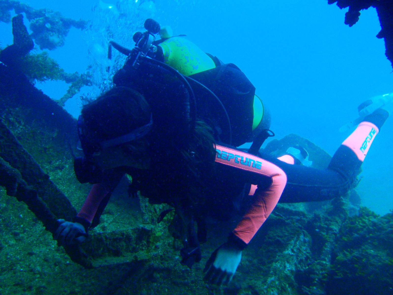
A 48-metre former steam whale chaser scuttled in 1982 off the western side of Michaelmas Island in King George Sound, Cheynes III is recognised as the first purpose-prepared dive wreck in the Southern Hemisphere. Resting upright in 19–30 metres of water on a sandy seabed, the steel hull is now encrusted with colourful soft corals, sea fans, and sponges. Schools of kingfish, Samson fish, boarfish, magpie morwong, bullseyes, and western blue groper patrol the structure, while southern rock lobsters and octopus hide in the collapsed midship section. The harpoon platform at the bow, the wheelhouse, and the propeller at the stern are the key features. Penetration is unsafe due to structural collapse, but the exterior dive is outstanding.
Cheynes III Dive Wreck
IntermediateSKIP
SKIP
Poor conditions. Stay out today.
Showing last known conditions
Wave Height 1.3 mSwell Period 12 sWind Speed 4.0 knPrecipitation 5.5 mmTidal Phase ebb
Last evaluated
DANGER: Explicit Risks Present
Cheynes III Dive Wreck has hazards marked as danger. Entering the water here means you may face serious risks to your personal safety.
- Structural collapse — unsafe penetration danger
The midship section has collapsed and the wreck interior is structurally unsafe for entry.
The spot
Community-maintained
Community contribution: submitted by Daniel
Know before you go
Logged by the community, confirmed by mods
High risk: Structural collapse — unsafe penetration
The midship section has collapsed and the wreck interior is structurally unsafe for entry.
Moderate risk: Strong swell
Best dived in swell under 1.5 metres; larger swells make the site unsafe or inaccessible.
Low risk: Cold water temperatures
Water temperatures range from 14°C in winter to 20°C in summer, requiring adequate thermal protection.
Low risk: Limited visibility after storms
Visibility can drop to 5–8 metres following southwesterly storms.
Low risk: Boat traffic
Located in King George Sound with regular boat traffic; divers must use a surface marker buoy.
Wildlife Guide
No wildlife notes for this spot yet.
Gallery
3 photos from the community
Getting in
Boat
Entry
The wreck lies off the western side of Michaelmas Island, approximately 5 km east of Albany in King George Sound. Access is by private boat or charter from Emu Point Boat Ramp or the Albany marina. GPS coordinates: S 35° 02.653' E 118° 01.629'.
Parking & facilities
Free parking available at Emu Point Boat Ramp on the eastern shore of Oyster Harbour.
parkingtoiletsdrinking_waterboat_ramp
No permit required for the Cheynes III wreck (unlike the nearby HMAS Perth II which requires a small fee from the local dive shop).
Spot Map
Community
Gallery ┬╖ 3 photos
Trust
Is this spot real, accurate, still loved?
Spots near Western Australia

No nearby spots yet.
Needs verification
Quick verify
One tap helps the community keep this spot honest.
About this data
- Conditions last evaluated
- Spot data last updated
- Data sources
- Open-Meteo (marine & weather conditions), tide predictions via UTide, community contributors (descriptions, hazards, marine life).
- License
- Spot content licensed under CC BY-SA 4.0. How's the Spot is open source.
Weather & swell ┬╖ Open-Meteo marine & weather APIs Tides ┬╖ UTide harmonic analysis Sea & safety ┬╖ community reports