Challenger Bay, nestled on Ribbon Reef No.10 about 185 km north of Cairns, is a pristine sandy bay dotted with scattered coral bommies and lush coral gardens. The sandy bottom slopes from 30 m depth up to a shallow reef platform around 5 m from the surface, creating a diverse underwater landscape. This remote Great Barrier Reef site is renowned for encounters with dwarf minke whales (June–July) and whale sharks, plus large schools of trevally, snapper, and reef sharks that patrol the bommies. It's a true tropical paradise for snorkelers visiting the outer reef.
Challenger Bay
IntermediateGO
GO
It's a go.
Showing last known conditions
Wave Height 0.3 mSwell Period 5.9 sWind Speed 9.9 knPrecipitation 2.1 mmTidal Phase flood
Last evaluated
The spot
Community-maintained
Community contribution: submitted by Daniel
Know before you go
Logged by the community, confirmed by mods
Moderate risk: Ocean currents
The site is exposed to open ocean conditions and can experience strong currents, especially on changing tides. Snorkelers should be confident in current-prone waters.
Low risk: Vessel traffic
The reef platform rises from 30 m to approximately 5 m depth. Boat traffic in the area requires awareness, particularly near the reef edge.
Low risk: Stingers (box jellyfish)
Marine stingers (box jellyfish) are present in tropical Queensland waters during the warmer months.
Wildlife Guide
No wildlife notes for this spot yet.
Gallery
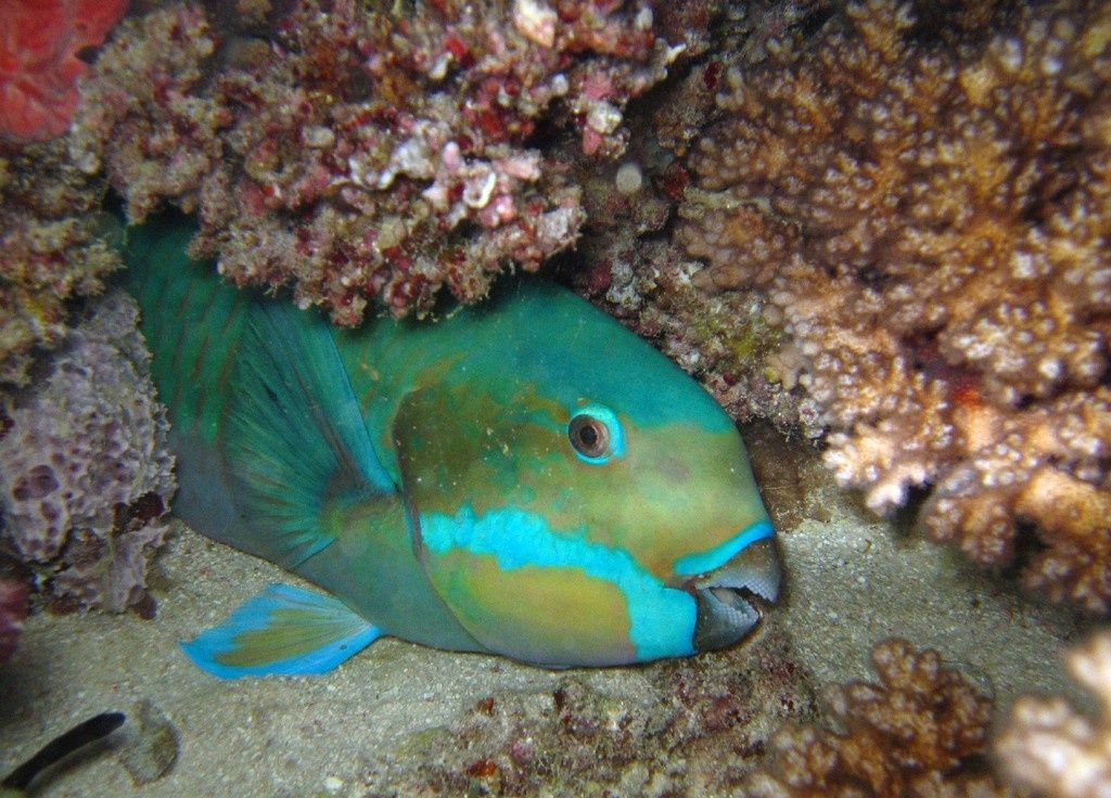
1 photo from the community
Getting in
Boat
Entry
Challenger Bay is located on Ribbon Reef No.10, approximately 185 km north of Cairns, Queensland. Access is exclusively by liveaboard dive vessel or chartered boat from Cairns or Port Douglas.
Parking & facilities
No on-site parking. Park at the departure marina in Cairns or Port Douglas (paid parking available).
Access via liveaboard or charter tours — check with operators for pricing.
Spot Map
Community
Gallery ┬╖ 1 photos
Trust
Is this spot real, accurate, still loved?
Spots near Queensland

No nearby spots yet.
Needs verification
Quick verify
One tap helps the community keep this spot honest.
About this data
- Conditions last evaluated
- Spot data last updated
- Data sources
- Open-Meteo (marine & weather conditions), tide predictions via UTide, community contributors (descriptions, hazards, marine life).
- License
- Spot content licensed under CC BY-SA 4.0. How's the Spot is open source.
Weather & swell ┬╖ Open-Meteo marine & weather APIs Tides ┬╖ UTide harmonic analysis Sea & safety ┬╖ community reports