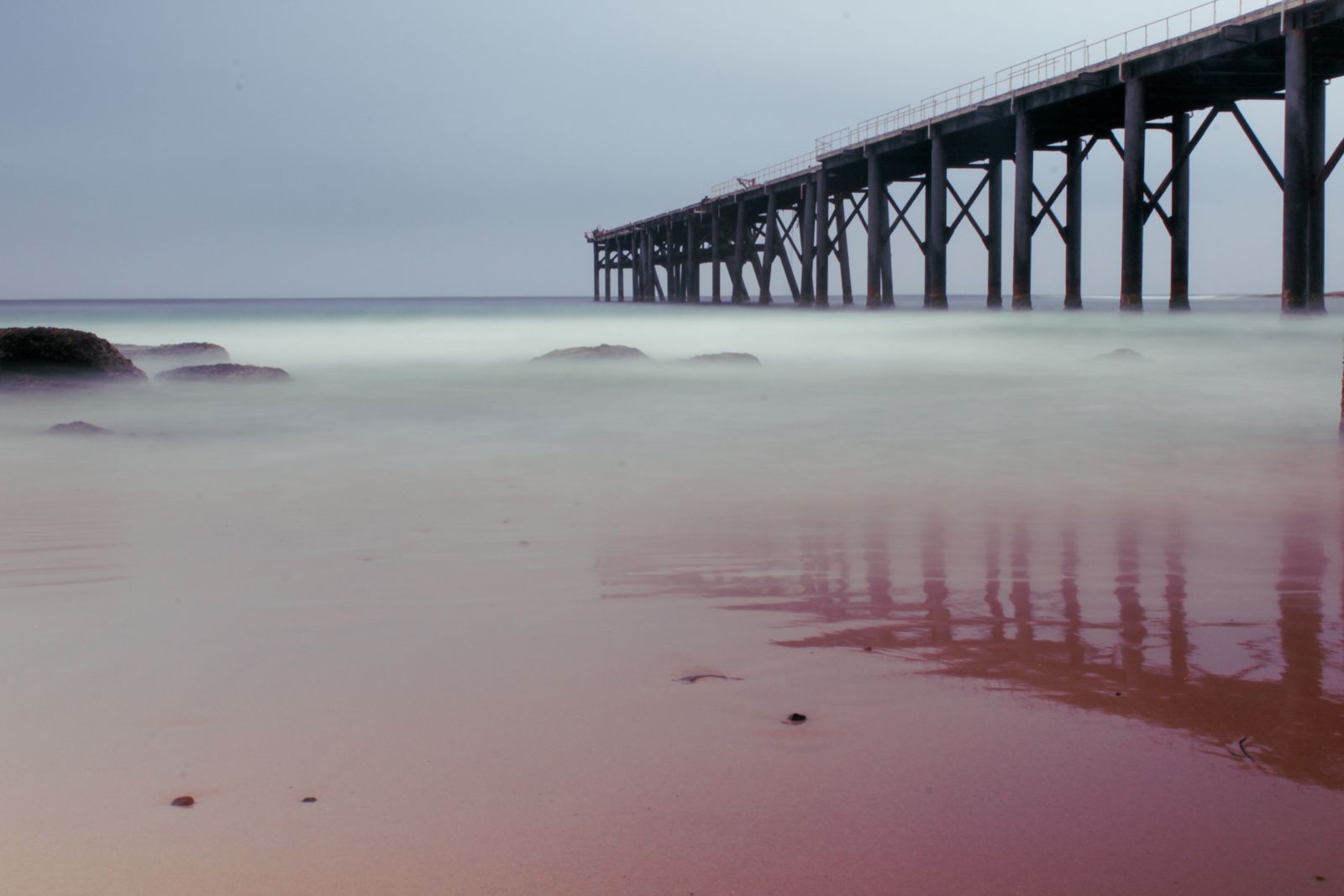
Catherine Hill Bay, on the NSW Central Coast near Swansea, offers a wonderfully varied snorkeling experience. The historic coal-loader jetty (pier) is a magnet for fish, with dozens of swim-throughs and overhangs to explore beneath the pylons — you'll see a variety of fish sheltering among the structure. The southern headland features a massive natural rockpool with crystal-clear indigo and turquoise water, big enough to swim lengths, while "Shark Hole" — a dramatic sea cave carved into the cliffs — is accessible via a scenic coastal walk. The area also holds the wreck of the "Wallarah" near the jetty for adventurous snorkelers. Named twice among Australia's 101 Best Beaches, this spot combines historic charm with outstanding underwater terrain.
Catherine Hill Bay
It's a go.
Showing last known conditions
Last evaluated
 © Fayeem
The spot
Community-maintained
Community contribution: submitted by Daniel
Know before you go
Logged by the community, confirmed by mods
Moderate risk: Rough swell and rogue waves
The rockpool and headland are exposed to ocean swell. Avoid visiting when swell is rough or on high tide, as waves can crash into the rockpool.
Moderate risk: Variable ocean swell
The headland is exposed to ocean swells that can create surgy conditions around the rocks and swim-throughs, reducing visibility and making exits challenging.
Moderate risk: Swell / Rogue Waves
Rough swells create dangerous conditions at the rockpool and rock platform. Only safe on low to mid tide with slight swell.
Moderate risk: Tidal Cut-Off
The rock platform can be cut off on higher tides; access to the rockpool and entry points is tide-dependent.
Moderate risk: Bull shark sightings
Bull sharks have been spotted by surfers in the area; caution advised, especially in deeper or murky water.
Moderate risk: Restricted land access
Historical access via a mining road track with a locked gate means entry is restricted; check with local dive shops for current access arrangements.
Moderate risk: Swell and surge
The headland is exposed to ocean swell. In bigger swells, exiting at Desoto Inlet becomes unsafe. Only enter in calm, millpond conditions.
Moderate risk: Restricted access
The main track passes through former mining land which has had gates locked or welded shut. Local dive shops may have keys, but access cannot be guaranteed.
Moderate risk: Swell and rogue waves
The rockpool and beach can experience large swells. Avoid visiting during high swell as rogue waves may crash into the rockpool area.
Moderate risk: Outgoing tide current near jetty
Strong tidal currents can develop around the old jetty pylons, particularly on an outgoing tide, which can push snorkelers out to sea.
Low risk: Sweeping currents near jetty
The area around the old coal-loader jetty can experience tidal currents. Snorkelers should exercise caution, especially at deeper depths (3-30m).
Low risk: Uneven rock platform
Accessing the rockpool and headland requires crossing a wide rock platform with exposed, uneven terrain. Slippery when wet.
Low risk: Creek crossing at low/mid tide
The walk to the rockpool requires crossing a small channel/creek near the beach. At mid tide it's still shallow but requires careful footing.
Low risk: Rock platform entry/exit
Entry is via a rock platform at the headland, which can be slippery and uneven. Care needed when entering and exiting the water, especially in swell.
Low risk: Depth variation (3–30 m)
Depth changes rapidly from shallow reef to deeper water. Snorkelers should stay aware of depth transitions and avoid over-exertion when exploring deeper drop-offs.
Low risk: Outgoing Tide Current
Currents around the headland and coal loader jetty can strengthen on outgoing tides, particularly near the inlet channels.
Low risk: Exposed Walk / Sun Exposure
The 3.1 km return walk to the rockpool is fully exposed to sun; no shade along the rock platform.
Low risk: Swell and surge near jetty
The Coal Loader jetty area can experience strong surge during easterly swells, making snorkeling challenging.
Low risk: Sharp submerged debris
Ship chains, cables, and metal hardware from the coal loader litter the seabed — exposed skin and fins can be cut.
Low risk: Rocky shore entry and exit
Entry and exit are over slippery rocks and a broken stainless steel ladder. Care is needed to avoid falls, especially when carrying gear.
Low risk: Variable depths and drop-offs
Depths range rapidly from 3 m inshore to 16 m+ further out. Snorkelers should stay aware of depth changes and currents near the headland.
Low risk: Exposure to sun
The walk along the beach and rock platform is fully exposed with no shade, increasing risk of sunburn and heat exhaustion on hot days.
Wildlife Guide
No wildlife notes for this spot yet.
Gallery
6 photos from the community
Getting in
130 km (1 hr 40 min) north of Sydney, or 35 km (50 min) south of Newcastle. From the Pacific Highway, turn onto Flowers Drive into Catherine Hill Bay. The beach car park is at the northern end.
Gravel car park at the northern end of Catherine Hill Bay beach (accessible via a short gravel road). Alternatively, park near Catherine Hill Bay Cemetery a few minutes further away.
Free
Spot Map
Community
Trust
Is this spot real, accurate, still loved?
Spots near New South Wales

No nearby spots yet.
Quick verify
One tap helps the community keep this spot honest.
About this data
- Conditions last evaluated
- Spot data last updated
- Data sources
- Open-Meteo (marine & weather conditions), tide predictions via UTide, community contributors (descriptions, hazards, marine life).
- License
- Spot content licensed under CC BY-SA 4.0. How's the Spot is open source.