Castle Rock is a prominent underwater reef bommie (pinnacle) located just outside the heads of Port Phillip Bay near the Mornington Peninsula. Rising from the seabed to around 12–20 metres depth, this rocky submarine feature is cloaked in colourful temperate kelp forests and encrusting sponges, frequented by Weedy Sea Dragons, schools of Bullseyes, and Eastern Blue Groper. The site is a firm favourite among divers and advanced snorkellers for its dramatic topography and rich Great Southern Reef biodiversity. Often accessed by boat from Queenscliff or Portsea, Castle Rock offers excellent visibility when conditions align, with the surrounding currents supporting a thriving ecosystem of reef fish, crayfish, and nudibranchs.
Castle Rock
AdvancedMAYBE
MAYBE
Fair. Experienced snorkellers only.
Showing last known conditions
Wave Height 0.2 mSwell Period 11 sWind Speed 10 knPrecipitation 39 mmTidal Phase flood
Last evaluated
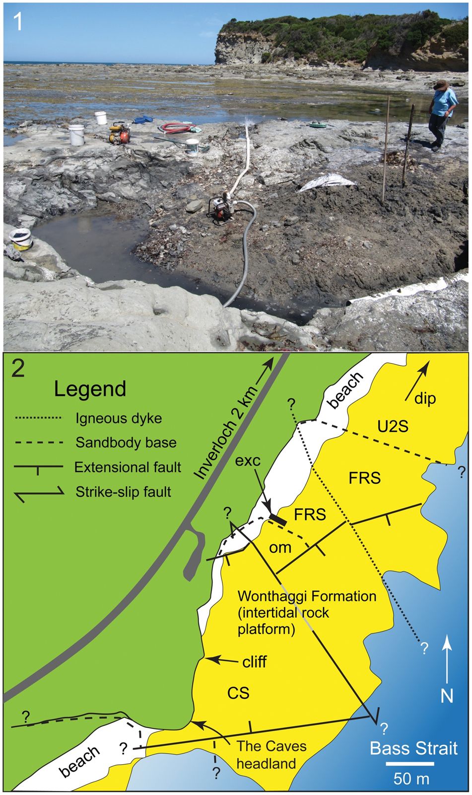 © Matthew C. Herne, Jay P. Nair, Alistair R. Evans and Alan M. Tait
The spot
Community-maintained
Community contribution: submitted by Daniel
Know before you go
Logged by the community, confirmed by mods
Moderate risk: Strong south-westerly swells
Exposed to powerful swells from the Southern Ocean via Bass Strait, which can create dangerous surf conditions suddenly.
Moderate risk: Strong currents and undertows
Tidal currents and undertows can be strong when snorkeling near the rock platforms, especially during outgoing tides.
Moderate risk: Large unexpected waves
Sneaker waves can wash over rock platforms without warning, posing a risk to snorkelers and rockpoolers near the water's edge.
Moderate risk: Strong tidal currents at Port Phillip Heads
Sweeping currents around the heads can be powerful, especially on outgoing tides, requiring good fitness and awareness.
Moderate risk: Boat traffic
Located in a shipping channel approach with regular vessel traffic; snorkellers must stay vigilant and use a surface marker buoy.
Low risk: Sudden weather changes
Weather conditions can shift rapidly along this exposed coastline, with increased wind and wave height developing quickly.
Low risk: Slippery rock platforms
Intertidal sandstone rock platforms are often wet and covered with algae, creating very slippery walking conditions.
Low risk: Cold water temperatures
Temperate waters range from 10–18°C year-round, posing a risk of hypothermia without proper exposure protection.
Low risk: Variable visibility
Visibility can change rapidly from excellent (15m+) to poor (2-3m) due to swell and tide shifts.
Wildlife Guide
No wildlife notes for this spot yet.
Gallery
1 photo from the community
Getting in
Boat
Entry
Castle Rock is located outside the Port Phillip Heads near the Mornington Peninsula. It is typically accessed by private or charter boat launching from Queenscliff (about 15 min run) or Portsea. GPS marks are available from local dive shops. No shore access is possible — this is an offshore pinnacle.
Parking & facilities
Parking available at Queenscloff or Portsea boat ramps and nearby streets.
parkingboat_ramp
No entry fee; charter boat fees apply if hiring a service (approx. $80–$150 per person).
Spot Map
Community
Gallery ┬╖ 1 photos
Trust
Is this spot real, accurate, still loved?
Spots near Victoria

No nearby spots yet.
Needs verification
Quick verify
One tap helps the community keep this spot honest.
About this data
- Conditions last evaluated
- Spot data last updated
- Data sources
- Open-Meteo (marine & weather conditions), tide predictions via UTide, community contributors (descriptions, hazards, marine life).
- License
- Spot content licensed under CC BY-SA 4.0. How's the Spot is open source.
Weather & swell ┬╖ Open-Meteo marine & weather APIs Tides ┬╖ UTide harmonic analysis Sea & safety ┬╖ community reports