Tucked into the western coast of the Fleurieu Peninsula, Carrickalinga Beach offers a sheltered, horseshoe-shaped bay with calm turquoise waters and rocky headlands. A sanctuary zone, the underwater terrain features rocky ledges, healthy algal growth, seagrass meadows, and fascinating rockpools teeming with life. A series of offshore reefs lie a decent swim out, rewarding those who venture further with dramatic underwater scenery. The scenic drive along Forktree Road and wooden stairs down from the headland make this a picturesque, family-friendly snorkel destination on the Yorke Peninsula.
Carrickalinga Beach
BeginnerMAYBE
MAYBE
Fair. Experienced snorkellers only.
Showing last known conditions
Wave Height 0.4 mSwell Period 4.7 sWind Speed 1.7 knPrecipitation 25 mmTidal Phase ebb
Last evaluated
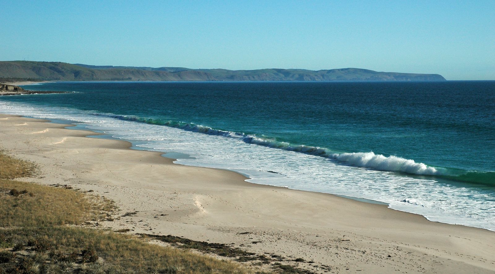
The spot
Community-maintained
Community contribution: submitted by Daniel
Know before you go
Logged by the community, confirmed by mods
Low risk: Cold water temperatures
Water can be very cold even in summer; a wetsuit is strongly recommended for comfort and safety.
Low risk: Offshore reefs – strong swim required
The best reef snorkelling requires a decent swim from shore; only confident swimmers should attempt it.
Low risk: Surge around headland
Conditions can become bumpy with swell and surge near the rocky headland, especially on windy days.
Wildlife Guide
No wildlife notes for this spot yet.
Gallery
1 photo from the community
Getting in
Shore entry
Entry
From Myponga, drive along Forktree Road into Carrickalinga for sweeping ocean views. Turn north onto Gold Coast Drive to reach the rocky headland parking area with a zig-zag series of wooden steps down to the beach.
Parking & facilities
Limited parking available at the headland off Gold Coast Drive, near the wooden steps access point.
parking
Free
Spot Map
Community
Gallery ┬╖ 1 photos
Trust
Is this spot real, accurate, still loved?
Spots near South Australia

No nearby spots yet.
Needs verification
Quick verify
One tap helps the community keep this spot honest.
About this data
- Conditions last evaluated
- Spot data last updated
- Data sources
- Open-Meteo (marine & weather conditions), tide predictions via UTide, community contributors (descriptions, hazards, marine life).
- License
- Spot content licensed under CC BY-SA 4.0. How's the Spot is open source.
Weather & swell ┬╖ Open-Meteo marine & weather APIs Tides ┬╖ UTide harmonic analysis Sea & safety ┬╖ community reports