Capricornia Cays National Park protects a chain of coral cays at the southern tip of the Great Barrier Reef, including Lady Musgrave, Lady Elliot, and Masthead islands. The sheltered lagoon at Lady Musgrave Island, ringed by a fringing coral reef, offers exceptional beginner-friendly snorkelling among vibrant coral gardens teeming with tropical fish, sea turtles, and rays. Access is by tour boat from Bundaberg, 1770, or Hervey Bay, making it a pristine wilderness escape where land and sea meet in spectacular fashion.
Capricornia Cays National Park
BeginnerGO
GO
It's a go.
Showing last known conditions
Wave Height 0.2 mSwell Period 5.5 sWind Speed 1.2 knPrecipitation 0.0 mmTidal Phase flood
Last evaluated
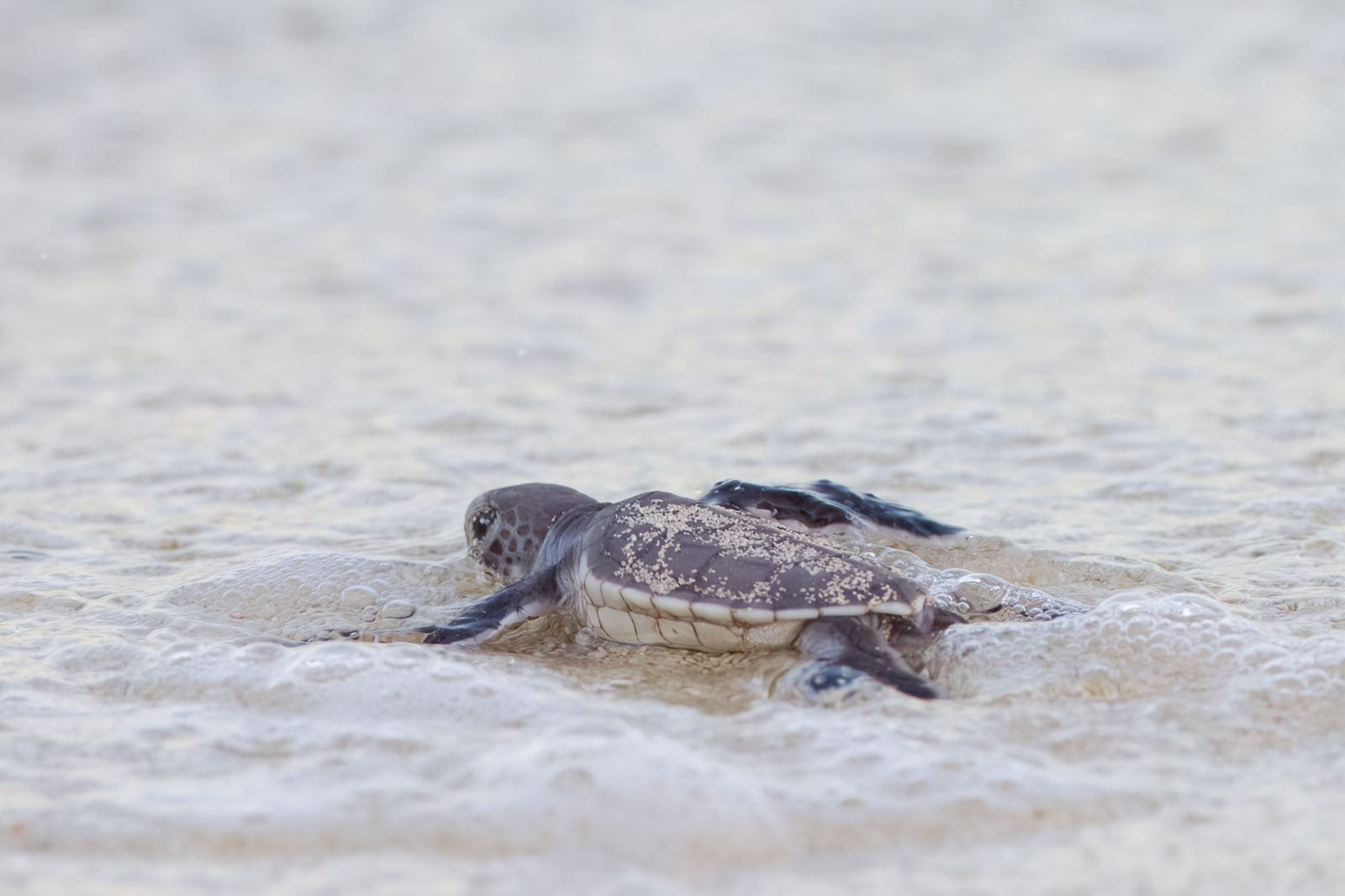 © PotMart186
The spot
Community-maintained
Community contribution: submitted by Daniel
Know before you go
Logged by the community, confirmed by mods
Moderate risk: Marine stingers (box jellyfish)
Box jellyfish and Irukandji are present in warmer months. Peak season runs November to May.
Low risk: Strong tidal currents
Tidal flows through reef passes can create strong currents; always snorkel inside the lagoon where conditions are calmer.
Low risk: Variable visibility
Water visibility depends on weather, tides, and swell; best conditions are on calm, low-wind days.
Low risk: Sun exposure
Intense Queensland sun with limited shade on the cays; sun protection essential.
Wildlife Guide
No wildlife notes for this spot yet.
Gallery
2 photos from the community
Getting in
Snorkel tour
Entry
The cays are accessible only by commercial tour vessels or private boat. Regular tours depart from Bundaberg (Bundaberg Port Marina), Town of 1770, and Hervey Bay. Lady Musgrave Island is roughly a 2-hour boat ride from Bundaberg.
Parking & facilities
Parking available at Bundaberg Port Marina and 1770 Marina; fees may apply.
toiletsparking
National park camping fees apply for overnight stays. Day tours are booked through commercial operators (prices vary).
Spot Map
Community
Gallery ┬╖ 2 photos
Trust
Is this spot real, accurate, still loved?
Spots near Queensland

No nearby spots yet.
Needs verification
Quick verify
One tap helps the community keep this spot honest.
About this data
- Conditions last evaluated
- Spot data last updated
- Data sources
- Open-Meteo (marine & weather conditions), tide predictions via UTide, community contributors (descriptions, hazards, marine life).
- License
- Spot content licensed under CC BY-SA 4.0. How's the Spot is open source.
Weather & swell ┬╖ Open-Meteo marine & weather APIs Tides ┬╖ UTide harmonic analysis Sea & safety ┬╖ community reports