Cape Paterson sits on Victoria's Bass Coast in Gippsland, offering a cluster of diverse snorkeling spots along its volcanic and sandstone shoreline. The main Foreshore area and adjacent Surf Beach provide gentle, sheltered inshore waters ideal for exploring rocky reef ledges, while Bay Beach and Twin Beaches open onto slightly deeper patches where clear Bass Strait waters reveal kelp forests and sponge gardens. The volcanic boulder fields host a surprising diversity of temperate marine life, making this a favorite for families and shore-based snorkelers.
Cape Paterson (Surf Beach, Bay Beach, Twin Beaches, Foreshore)
BeginnerMAYBE
MAYBE
Fair. Experienced snorkellers only.
Showing last known conditions
Wave Height 0.8 mSwell Period 12 sWind Speed 10.0 knPrecipitation 30 mmTidal Phase flood
Last evaluated
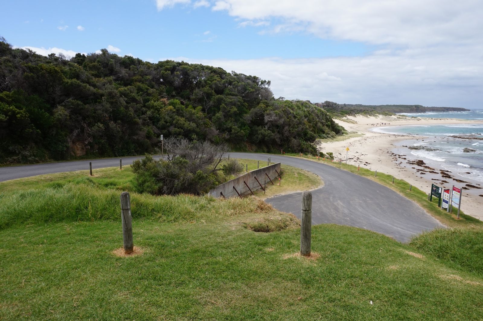 © Tangerineduel
The spot
Community-maintained
Community contribution: submitted by Daniel
Know before you go
Logged by the community, confirmed by mods
Low risk: Rip currents at Surf Beach
Occasional rip currents can develop near the Surf Beach end, especially during southerly swells. Swimmers should stay between the flags when patrol is active.
Low risk: Rocky ledges and boulders
Submerged volcanic boulders and rocky reef ledges are present close to shore, requiring care when entering and exiting the water, particularly at low tide.
Low risk: Variable wind conditions
Strong onshore north-easterly or south-westerly winds can reduce water clarity and create choppy surface conditions, especially in the afternoon.
Wildlife Guide
No wildlife notes for this spot yet.
Gallery
2 photos from the community
Getting in
Shore entry
Entry
Approximately 130 km south-east of Melbourne via the M1 and Bass Highway. Turn off the Bass Highway at the Cape Paterson Road exit and follow signs to the Foreshore or Surf Beach car parks.
Parking & facilities
Large sealed car parks available at both the main Foreshore reserve and Surf Beach. Overflow grass parking on busy summer weekends.
toiletsparkingshowerspicnic_tablesdrinking_water
No entry fee. Limited metered parking may apply during peak summer months (check local signs).
Spot Map
Community
Gallery ┬╖ 2 photos
Trust
Is this spot real, accurate, still loved?
Spots near Victoria

No nearby spots yet.
Needs verification
Quick verify
One tap helps the community keep this spot honest.
About this data
- Conditions last evaluated
- Spot data last updated
- Data sources
- Open-Meteo (marine & weather conditions), tide predictions via UTide, community contributors (descriptions, hazards, marine life).
- License
- Spot content licensed under CC BY-SA 4.0. How's the Spot is open source.
Weather & swell ┬╖ Open-Meteo marine & weather APIs Tides ┬╖ UTide harmonic analysis Sea & safety ┬╖ community reports