Cape Nelson, 11 km south-west of Portland on Victoria's Discovery Coast, is a rugged basalt headland with Murrells Beach (Bridgewater Bay 1 Beach) as its prime shore-entry snorkeling site. Sheltered by the cape and extensive offshore reefs, Murrells Beach offers crystal-clear waters over volcanic reefs with depths from 2 to 15 metres. The surrounding Cape Nelson State Park features dramatic sea cliffs, calcarenite bluffs, and whale-watching lookouts — Southern Right and Humpback whales pass offshore in winter. The area is steeped in Gunditjmara Aboriginal cultural heritage and sits near Victoria's only mainland gannet colony at Point Danger.
Cape Nelson (Portland)
IntermediateSKIP
SKIP
Poor conditions. Stay out today.
Showing last known conditions
Wave Height 1.7 mSwell Period 10 sWind Speed 15 knPrecipitation 17 mmTidal Phase slack
Last evaluated
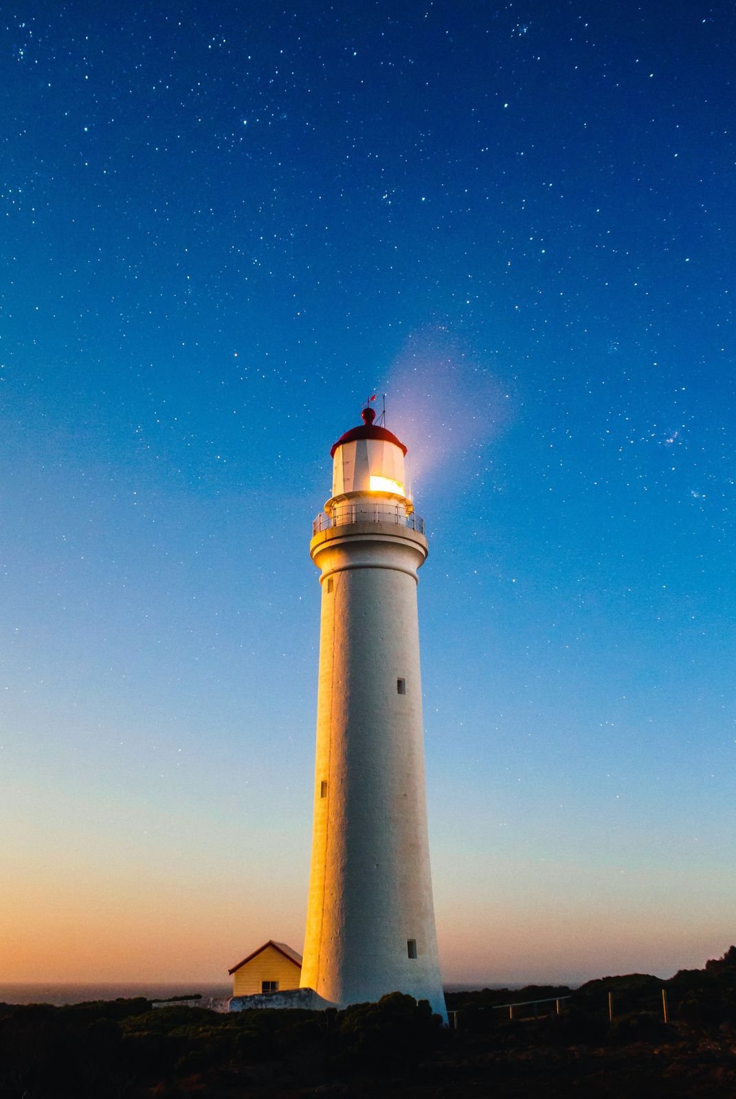 © Joshua Hibbert joshnh
DANGER: Explicit Risks Present
Cape Nelson (Portland) has hazards marked as danger. Entering the water here means you may face serious risks to your personal safety.
- High swell / white water danger
When lots of white water is visible, conditions are unsafe for entry. Best in low swell with light offshore winds.
The spot
Community-maintained
Community contribution: submitted by Daniel
Know before you go
Logged by the community, confirmed by mods
High risk: High swell / white water
When lots of white water is visible, conditions are unsafe for entry. Best in low swell with light offshore winds.
Moderate risk: High swell and white water
The bay faces south and receives high waves and strong winds. If lots of white water is visible, conditions are unsafe for entry.
Moderate risk: Rip currents
Strong rips develop toward the northern end of Murrells Beach, especially in higher wave conditions.
Moderate risk: High swell and surf conditions
Bridgewater Bay receives high waves averaging 1–1.5 m with strong winds. The site is best avoided when white water is visible.
Moderate risk: Swell and High Surf
Bridgewater Bay faces south and receives high waves with strong winds. White water indicates unsafe conditions — if you see heavy surf, do not enter.
Moderate risk: Exposed Ocean Conditions (Flat Rock)
The boat dive at Flat Rock is exposed to ocean conditions. A low swell and light offshore winds are required for safe diving.
Moderate risk: High Waves & White Water
The bay faces south and receives high waves and strong winds; white water conditions signal dangerous entry — best to turn back if observed.
Low risk: Exposed conditions
Best dived in good conditions with low swell and light offshore winds. Swell averages 1–1.5 metres even on calmer days.
Low risk: Strong winds
Exposed southerly aspect makes the site vulnerable to strong winds that can create hazardous surface conditions.
Low risk: Rocky entry
Entry and exit is via the beach with a 200 m walk from the car park; loose rocks and wave action at the shoreline can make entry tricky.
Low risk: Cold Water Temperature
Water temperatures in this area are cold year-round; even in summer a thick wetsuit (5–7 mm) is essential for comfort and safety.
Low risk: March flies
Can be abundant during warmer months, particularly on the beach and walking track.
Low risk: Uneven Rocky Entry
The beach has a single attached bar and uneven calcarenite bottom with rocks near the shore, requiring care during entry and exit.
Low risk: Exposed Swell
Bridgewater Bay faces south and can receive long-period swell, causing unpredictable wave sets even on calm days.
Wildlife Guide
No wildlife notes for this spot yet.
Gallery
3 photos from the community
Getting in
Shore entry
Entry
From Portland, travel 11 km south-west on Cape Nelson Road, then turn onto Murrells Beach Road. Follow to the car park at the western end. The beach is roughly 200 m from the car park.
Parking & facilities
Car park at the western end of Murrells Beach Road, Cape Nelson. Approximately 200 m walk down to the beach.
parking
No entry fee for Cape Nelson State Park.
Spot Map
Community
Gallery ┬╖ 3 photos
Trust
Is this spot real, accurate, still loved?
Spots near Victoria

No nearby spots yet.
Needs verification
Quick verify
One tap helps the community keep this spot honest.
About this data
- Conditions last evaluated
- Spot data last updated
- Data sources
- Open-Meteo (marine & weather conditions), tide predictions via UTide, community contributors (descriptions, hazards, marine life).
- License
- Spot content licensed under CC BY-SA 4.0. How's the Spot is open source.
Weather & swell ┬╖ Open-Meteo marine & weather APIs Tides ┬╖ UTide harmonic analysis Sea & safety ┬╖ community reports