Cape Nelson is a rugged headland jutting into the Southern Ocean near Portland, Victoria, forming the heart of Cape Nelson State Park. The western side shelters Murrells Beach (Bridgewater Bay), a calm snorkel and shore-dive site with gently sloping sand and seagrass beds. The dramatic basalt cliffs and lighthouse overlook crystal-clear waters where dolphins, seals, and diverse temperate reef fish are frequently spotted.
Cape Nelson
IntermediateMAYBE
MAYBE
Fair. Experienced snorkellers only.
Showing last known conditions
Wave Height 1.2 mSwell Period 11 sWind Speed 12 knPrecipitation 17 mmTidal Phase slack
Last evaluated
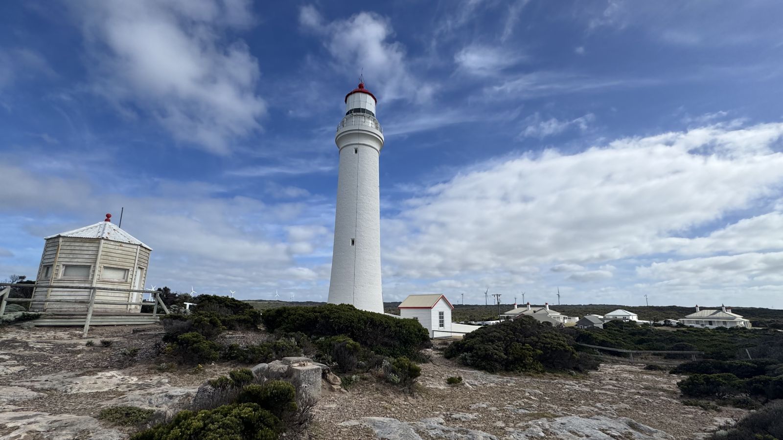 © S5A-0043
The spot
Community-maintained
Community contribution: submitted by Daniel
Know before you go
Logged by the community, confirmed by mods
Moderate risk: Southern Ocean swell
Exposed coastline can receive large, powerful swells from the Southern Ocean, especially during winter months.
Low risk: Strong currents
Tidal currents and rip flows can develop around the headland, particularly near the lighthouse point.
Low risk: Cold water temperatures
Water temperatures are chilly year-round, typically 12–18°C, posing hypothermia risk without adequate wetsuit protection.
Low risk: Variable weather
Weather can change rapidly with strong southerly winds and fog, affecting visibility and safety.
Wildlife Guide
No wildlife notes for this spot yet.
Gallery
3 photos from the community
Getting in
Shore entry
Entry
From Portland, drive south-west on Cape Nelson Road for approximately 11 km to reach the Cape Nelson State Park entrance. Follow the signs to the lighthouse or Murrells Beach car park.
Parking & facilities
Limited gravel parking available at Murrells Beach and near the Cape Nelson lighthouse. No designated large vehicle parking.
toiletsparking
No entry fee for Cape Nelson State Park. Fees may apply for lighthouse tours.
Spot Map
Community
Gallery ┬╖ 3 photos
Trust
Is this spot real, accurate, still loved?
Spots near Victoria

No nearby spots yet.
Needs verification
Quick verify
One tap helps the community keep this spot honest.
About this data
- Conditions last evaluated
- Spot data last updated
- Data sources
- Open-Meteo (marine & weather conditions), tide predictions via UTide, community contributors (descriptions, hazards, marine life).
- License
- Spot content licensed under CC BY-SA 4.0. How's the Spot is open source.
Weather & swell ┬╖ Open-Meteo marine & weather APIs Tides ┬╖ UTide harmonic analysis Sea & safety ┬╖ community reports