The shore-adjacent waters at Cape Leeuwin mark the dramatic meeting point of the Indian and Southern Oceans at Australia's most south-westerly mainland tip. Snorkel along the rocky inshore edges of the Leeuwin-Naturaliste National Park, where nutrient-rich currents swirling around the cape create a dynamic underwater landscape of granite reefs and boulder gardens. Part of the Ngari Capes Marine Park, this exposed coastline offers clear but cool waters, with visibility influenced by swell and tidal flow. From June to September, migrating humpback and southern right whales pass close to shore in adjacent Flinders Bay.
Cape Leeuwin area (shore-adjacent waters)
AdvancedSKIP
SKIP
Poor conditions. Stay out today.
Showing last known conditions
Wave Height 3.8 mSwell Period 12 sWind Speed 1.5 knPrecipitation 1.5 mmTidal Phase ebb
Last evaluated
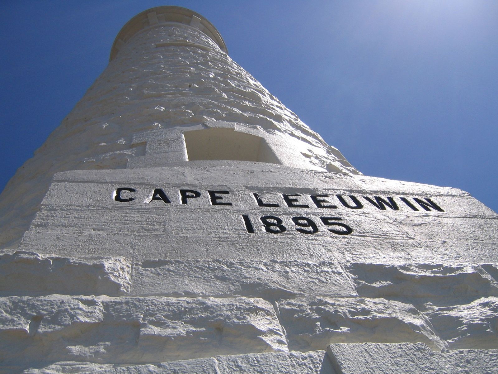 © Greg O'Beirne
DANGER: Explicit Risks Present
Cape Leeuwin area (shore-adjacent waters) has hazards marked as danger. Entering the water here means you may face serious risks to your personal safety.
- Strong Ocean Currents danger
Powerful currents where the Indian and Southern Oceans meet, capable of sweeping swimmers offshore quickly.
- Oceanic convergence surge danger
Powerful turbulent surge where Indian and Southern Oceans meet, creating unpredictable wave and current patterns
- Exposed to Southern Ocean swell danger
Full exposure to large Southern Ocean swells with minimal shelter
- Powerful ocean swell danger
The confluence of the Indian and Southern Oceans generates large, unpredictable swells that pound the granite shoreline.
- Strong southerly swells danger
Cape Leeuwin is exposed to powerful Southern Ocean swells that can create dangerous shore-break and surge conditions, especially in winter.
- Tidal currents at the meeting point danger
Where the Indian and Southern Oceans meet, complex tidal rips and currents can form, capable of sweeping snorkelers away from shore.
The spot
Community-maintained
Community contribution: submitted by Daniel
Know before you go
Logged by the community, confirmed by mods
High risk: Strong Ocean Currents
Powerful currents where the Indian and Southern Oceans meet, capable of sweeping swimmers offshore quickly.
High risk: Oceanic convergence surge
Powerful turbulent surge where Indian and Southern Oceans meet, creating unpredictable wave and current patterns
High risk: Exposed to Southern Ocean swell
Full exposure to large Southern Ocean swells with minimal shelter
High risk: Powerful ocean swell
The confluence of the Indian and Southern Oceans generates large, unpredictable swells that pound the granite shoreline.
High risk: Strong southerly swells
Cape Leeuwin is exposed to powerful Southern Ocean swells that can create dangerous shore-break and surge conditions, especially in winter.
High risk: Tidal currents at the meeting point
Where the Indian and Southern Oceans meet, complex tidal rips and currents can form, capable of sweeping snorkelers away from shore.
Moderate risk: Large Swell and Surge
Exposed headland receives constant heavy swell from two oceans, creating dangerous surge conditions on rocky reefs.
Moderate risk: Unpredictable Weather
Gusty winds and rapidly changing conditions make this spot hazardous; howling winds are the norm.
Moderate risk: Strong currents
Unpredictable and powerful tidal currents around the headland, especially during swell events
Moderate risk: Strong wind chop
Cape Leeuwin is notoriously windy; sudden gusts create rough surface conditions and reduce visibility.
Moderate risk: Rip currents
Strong rips form along the rocky headland, posing significant risk to swimmers and snorkellers.
Moderate risk: Limited shore access
Entry points are over slippery granite boulders and rocks; no sandy beach access for easy entry or exit.
Moderate risk: Wind chop
The cape is notoriously windy, with strong sea breezes whipping up surface chop and reducing visibility for snorkelers.
Moderate risk: Swell and surge on rocky shoreline
The exposed granite coastline receives significant southern ocean swell. Surge against rocks can cause injury; entry and exit are hazardous in any swell over 1 m.
Moderate risk: Unstable rock entry
No sandy beach exists at the cape point; entry is over slippery, barnacle-encrusted granite boulders and ledges, which become treacherous in wet conditions.
Low risk: Cold Water Temperature
Water temperatures can drop below 15°C even in summer, posing hypothermia risk without proper wetsuit.
Low risk: Sharp Granite Reefs
Exposed granite and limestone formations with sharp edges that can cause cuts and injuries in surge conditions.
Low risk: Cold water temperatures
Water temperatures can drop significantly, especially when Southern Ocean influences dominate
Low risk: Sharp rocky shoreline
Granite boulders and rocky reef entries with risk of cuts and slips
Low risk: Slippery granite rocks
The intertidal granite boulders at the shore entry are often slick with algae, creating a fall hazard when entering or exiting the water.
Wildlife Guide
No wildlife notes for this spot yet.
Gallery
6 photos from the community
Getting in
Shore entry
Entry
Cape Leeuwin is a 15-minute drive south of Augusta via Leeuwin Road. From Perth, take the Bussell Highway south through Margaret River to Augusta, then follow the signed road to the Cape Leeuwin Lighthouse precinct.
Parking & facilities
Two ACROD (accessible) parking bays close to the main building, plus a larger visitor car park at the Cape Leeuwin Lighthouse precinct. Flat, hard-surfaced paths connect the car park to the lighthouse.
toiletsparking
Entry to the Cape Leeuwin Lighthouse precinct requires a fee (pay per person or family). Shore access to adjacent waters may be free outside the paid precinct, but confirm at the visitor centre.
Spot Map
Community
Gallery ┬╖ 6 photos
Trust
Is this spot real, accurate, still loved?
Spots near Western Australia

No nearby spots yet.
Needs verification
Quick verify
One tap helps the community keep this spot honest.
About this data
- Conditions last evaluated
- Spot data last updated
- Data sources
- Open-Meteo (marine & weather conditions), tide predictions via UTide, community contributors (descriptions, hazards, marine life).
- License
- Spot content licensed under CC BY-SA 4.0. How's the Spot is open source.
Weather & swell ┬╖ Open-Meteo marine & weather APIs Tides ┬╖ UTide harmonic analysis Sea & safety ┬╖ community reports