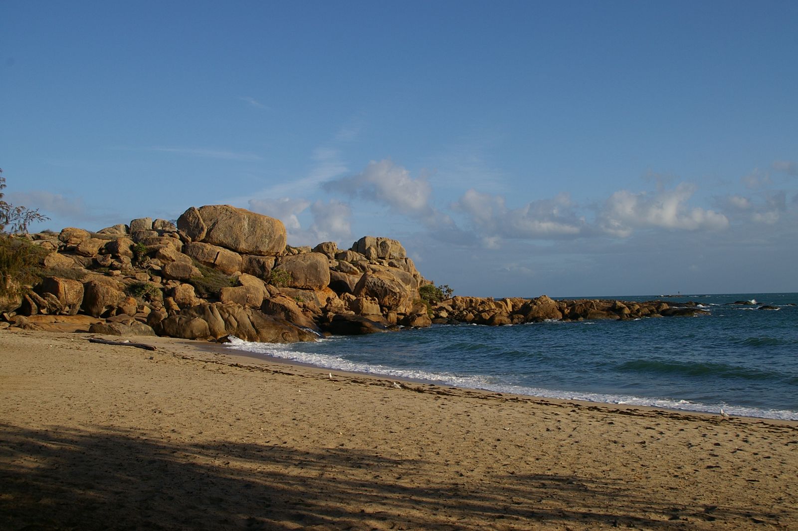
Cape Edgecumbe is a stunning granite headland dividing Horseshoe Bay and Rose Bay in Bowen, offering some of the best mainland-accessible fringing reef on the Great Barrier Reef. Snorkellers can walk straight off the sandy beaches of Murray Bay and Horseshoe Bay into crystal-clear waters where vibrant coral gardens teem with parrotfish, stingrays, and trevally just metres from shore. The dramatic landscape of giant acid granite boulders and secluded coves makes this a hidden gem at the northern end of the Whitsundays, with calm conditions delivering spectacular underwater visibility.
Cape Edgecumbe (Bowen)
BeginnerGO
GO
It's a go.
Showing last known conditions
Wave Height 0.1 mSwell Period 2.9 sWind Speed 9.1 knPrecipitation 0.0 mmTidal Phase flood
Last evaluated
The spot
Community-maintained
Community contribution: submitted by Daniel
Know before you go
Logged by the community, confirmed by mods
Low risk: Tide-dependent access
Snorkelling conditions are best at high tide when water covers the shallow reef platforms. Low tide exposes coral, limiting access and requiring care to avoid damaging the reef.
Low risk: Sharp coral and rocks
Sharp coral and rocky bottom present when entering the water, especially at low tide. Reef shoes are recommended.
Wildlife Guide
No wildlife notes for this spot yet.
Gallery
1 photo from the community
Getting in
Shore entry
Entry
Cape Edgecumbe is located at the northern end of the Whitsundays, about halfway between Mackay and Townsville. The walking trail and snorkel access points start from Horseshoe Bay or Rose Bay car parks in Bowen, Queensland.
Parking & facilities
Parking available at Horseshoe Bay carpark (start of the Cape Edgecumbe Walking Trail) and at Rose Bay. Both provide access to the track and beaches below the headland.
Spot Map
Community
Gallery ┬╖ 1 photos
Trust
Is this spot real, accurate, still loved?
Spots near Queensland

No nearby spots yet.
Needs verification
Quick verify
One tap helps the community keep this spot honest.
About this data
- Conditions last evaluated
- Spot data last updated
- Data sources
- Open-Meteo (marine & weather conditions), tide predictions via UTide, community contributors (descriptions, hazards, marine life).
- License
- Spot content licensed under CC BY-SA 4.0. How's the Spot is open source.
Weather & swell ┬╖ Open-Meteo marine & weather APIs Tides ┬╖ UTide harmonic analysis Sea & safety ┬╖ community reports