West Cape Beach sits within the rugged Cape Conran Coastal Park on Victoria's far east coast, where the Southern Ocean swells roll onto a wide sandy beach backed by coastal heath and Banksia woodlands. This exposed beach offers decent snorkeling along the rocky headlands at its western edge, where shallow reef platforms shelter small fish and crayfish in the clear ocean water. The beach is part of the Yeerung River estuary system, with the river mouth creating a dynamic shoreline of sandbars and gutters. Best entered from the western rocks on calm days with low swell.
Cape Conran Coastal Park - West Cape Beach
AdvancedMAYBE
MAYBE
Fair. Experienced snorkellers only.
Showing last known conditions
Wave Height 0.2 mSwell Period 9.4 sWind Speed 9.9 knPrecipitation 43 mmTidal Phase flood
Last evaluated
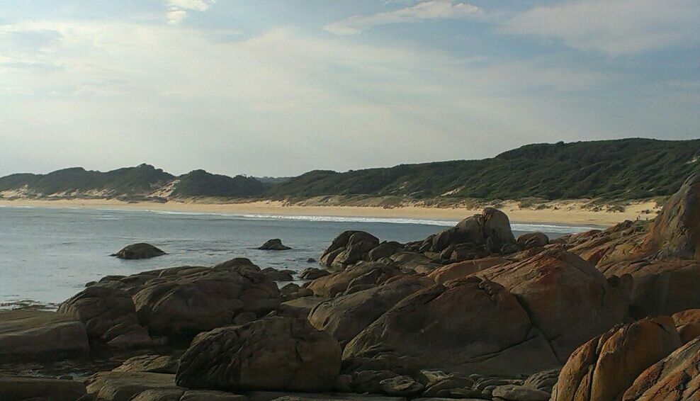 © ProfCockington
DANGER: Explicit Risks Present
Cape Conran Coastal Park - West Cape Beach has hazards marked as danger. Entering the water here means you may face serious risks to your personal safety.
- Southern Ocean Swells danger
Powerful ocean swells can produce strong shore breaks and rip currents, especially on the open beach.
The spot
Community-maintained
Community contribution: submitted by Daniel
Know before you go
Logged by the community, confirmed by mods
High risk: Southern Ocean Swells
Powerful ocean swells can produce strong shore breaks and rip currents, especially on the open beach.
Moderate risk: Rip Currents
Strong rip currents can form along the beach, particularly near the Yeerung River mouth and gutters.
Moderate risk: Changing Tides and Sandbars
Tidal movement shifts sandbars and gutters rapidly, altering entry and exit points.
Wildlife Guide
No wildlife notes for this spot yet.
Gallery
3 photos from the community
Getting in
Shore entry
Entry
Cape Conran Coastal Park is located approximately 15 km south of Marlo on the Cape Conran Road, off the Princes Highway in East Gippsland, Victoria. West Cape Beach is accessed via the main Cape Conran access road.
Parking & facilities
Sealed carpark available near the beach with enough spaces for a busy summer day.
toiletspicnic_tablesparking
Vehicle entry fee applies - check Parks Victoria website for current pricing.
Spot Map
Community
Gallery ┬╖ 3 photos
Trust
Is this spot real, accurate, still loved?
Spots near Victoria

No nearby spots yet.
Needs verification
Quick verify
One tap helps the community keep this spot honest.
About this data
- Conditions last evaluated
- Spot data last updated
- Data sources
- Open-Meteo (marine & weather conditions), tide predictions via UTide, community contributors (descriptions, hazards, marine life).
- License
- Spot content licensed under CC BY-SA 4.0. How's the Spot is open source.
Weather & swell ┬╖ Open-Meteo marine & weather APIs Tides ┬╖ UTide harmonic analysis Sea & safety ┬╖ community reports