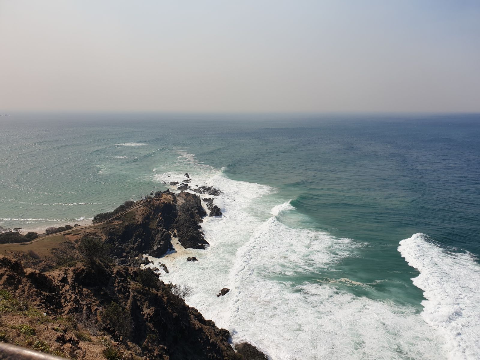
Stretching 37 km from Brunswick River to Lennox Head, Cape Byron Marine Park encompasses 220 km² of protected coastal waters where the warm East Australian Current meets cooler southern flows. This unique convergence creates a biodiversity hotspot with 10 of the 15 Tweed-Moreton bioregion ecosystems represented, including rocky reefs, sandy beaches, estuaries, and the iconic submerged pinnacles of Nguthungulli (Julian Rocks). Snorkellers can explore coral communities, ancient rock formations, and crystal-clear waters right off Byron Bay's famous coastline.
Cape Byron Marine Park (general)
IntermediateGO
GO
It's a go.
Showing last known conditions
Wave Height 0.9 mSwell Period 7.0 sWind Speed 6.2 knPrecipitation 0.0 mmTidal Phase flood
Last evaluated
 © misaochan2
The spot
Community-maintained
Community contribution: submitted by Daniel
Know before you go
Logged by the community, confirmed by mods
Moderate risk: East Australian Current (EAC)
Strong warm-water current can create powerful sweeps and unexpected drift conditions, especially around Julian Rocks and headlands.
Moderate risk: Rip Currents at Unpatrolled Beaches
Many beaches within the marine park (Tallow, Kings, Brays, Whites) are unpatrolled with frequent rips that can catch swimmers off guard.
Moderate risk: Strong Ocean Currents
The convergence of warm northern and cool southern currents around Julian Rocks can create unpredictable and strong drift conditions.
Low risk: Boat Traffic
Active boating, diving, fishing and tour vessels operate throughout the park; snorkellers near Julian Rocks must be visible and stay with tour groups.
Low risk: Variable Water Visibility
Visibility fluctuates with seasonal swells, rainfall runoff from creeks, and wind conditions; best between late spring and early autumn (Nov–Apr).
Low risk: Marine Stingers
Bluebottles and box jellyfish can appear in warmer months; wear a stinger suit or rash vest during summer.
Wildlife Guide
No wildlife notes for this spot yet.
Gallery
2 photos from the community
Getting in
Shore entry
Entry
The marine park stretches 37 km along the coast. Main access is via Byron Bay town centre. From the Pacific Highway (M1), take the Byron Bay exit and follow Ewingsdale Road into town. Julian Rocks (Nguthungulli) is accessible by guided snorkel tours departing from Byron Bay Main Beach. Shore-entry spots include The Pass, Cosy Corner (Tallow Beach), Kings Beach (Broken Head Nature Reserve), and Whites Beach.
Parking & facilities
Cape Byron Lighthouse precinct: $10/vehicle per hour (max 1 hour for carpark). Beach access parking at The Pass and Tallow Beach (limited free spots, fills early). Kings Beach and Whites Beach have very limited parking — arrive early.
toiletsparkingshowerspicnic_tables
No entry fee for the marine park itself. Cape Byron Lighthouse car park: $10/hour per vehicle. Guided snorkel tours to Julian Rocks cost approximately $65–$95 per person and include gear.
Spot Map
Community
Gallery ┬╖ 2 photos
Trust
Is this spot real, accurate, still loved?
Spots near New South Wales

No nearby spots yet.
Needs verification
Quick verify
One tap helps the community keep this spot honest.
About this data
- Conditions last evaluated
- Spot data last updated
- Data sources
- Open-Meteo (marine & weather conditions), tide predictions via UTide, community contributors (descriptions, hazards, marine life).
- License
- Spot content licensed under CC BY-SA 4.0. How's the Spot is open source.
Weather & swell ┬╖ Open-Meteo marine & weather APIs Tides ┬╖ UTide harmonic analysis Sea & safety ┬╖ community reports