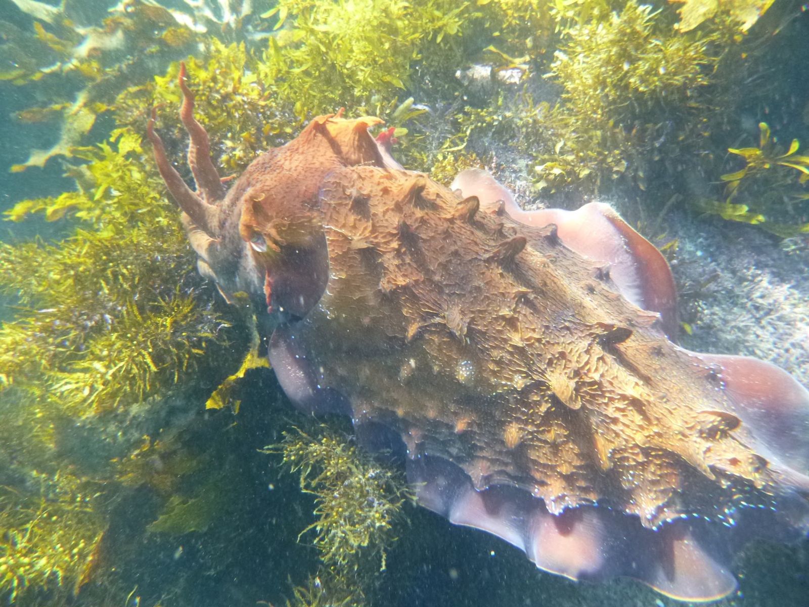
Tucked between Manly Beach and Shelly Beach, Cabbage Tree Bay is Sydney's only 'no-take' aquatic reserve — a conservation success story that has transformed a once-depleted reef into a thriving underwater oasis. Since 2002, this sheltered, west-facing bay has bounced back spectacularly, now hosting over 160 fish species and 50 invertebrate species across rocky reefs, kelp forests, seagrass beds, and sandy seabeds. Snorkellers glide over sponge gardens and boulder fields where blue groper, wobbegong sharks, giant cuttlefish, and the iconic weedy seadragon are common sights. The calm, protected waters make it one of the best shore-entry snorkel spots in metropolitan Sydney, accessible year-round from either Fairy Bower's steps or Shelly Beach.
Cabbage Tree Bay
It's a go.
Showing last known conditions
Last evaluated
 © Lachlan Macnaughtan
The spot
Community-maintained
Community contribution: submitted by Daniel
Know before you go
Logged by the community, confirmed by mods
Low risk: Boat traffic near entrance
Small watercraft and kayaks access the bay; keep a lookout near the centre and outer edge.
Low risk: Rocky shore entry at Fairy Bower
Steps lead down to a rocky platform; slippery rocks and uneven footing require care when entering and exiting.
Wildlife Guide
No wildlife notes for this spot yet.
Gallery
5 photos from the community
Getting in
Located between Manly Beach and Shelly Beach on Sydney's Northern Beaches. From Manly Wharf (ferry from Circular Quay), walk 15 min east along The Corso and Manly Beach foreshore, or take the 144 bus to the end of North Steyne. Two main entry points: Fairy Bower (steps on the rocky southern shore) and Shelly Beach (sandy beach entry on the eastern side).
Limited paid street parking along Marine Parade and surrounding streets. The nearest car parks are at Manly Beach (North Steyne carpark) and the Shelley Beach carpark. Arrive early on weekends as spaces fill quickly by mid-morning.
Free entry. Parking fees apply in council-paid zones and car parks.
Spot Map
Community
Trust
Is this spot real, accurate, still loved?
Spots near New South Wales

No nearby spots yet.
Quick verify
One tap helps the community keep this spot honest.
About this data
- Conditions last evaluated
- Spot data last updated
- Data sources
- Open-Meteo (marine & weather conditions), tide predictions via UTide, community contributors (descriptions, hazards, marine life).
- License
- Spot content licensed under CC BY-SA 4.0. How's the Spot is open source.