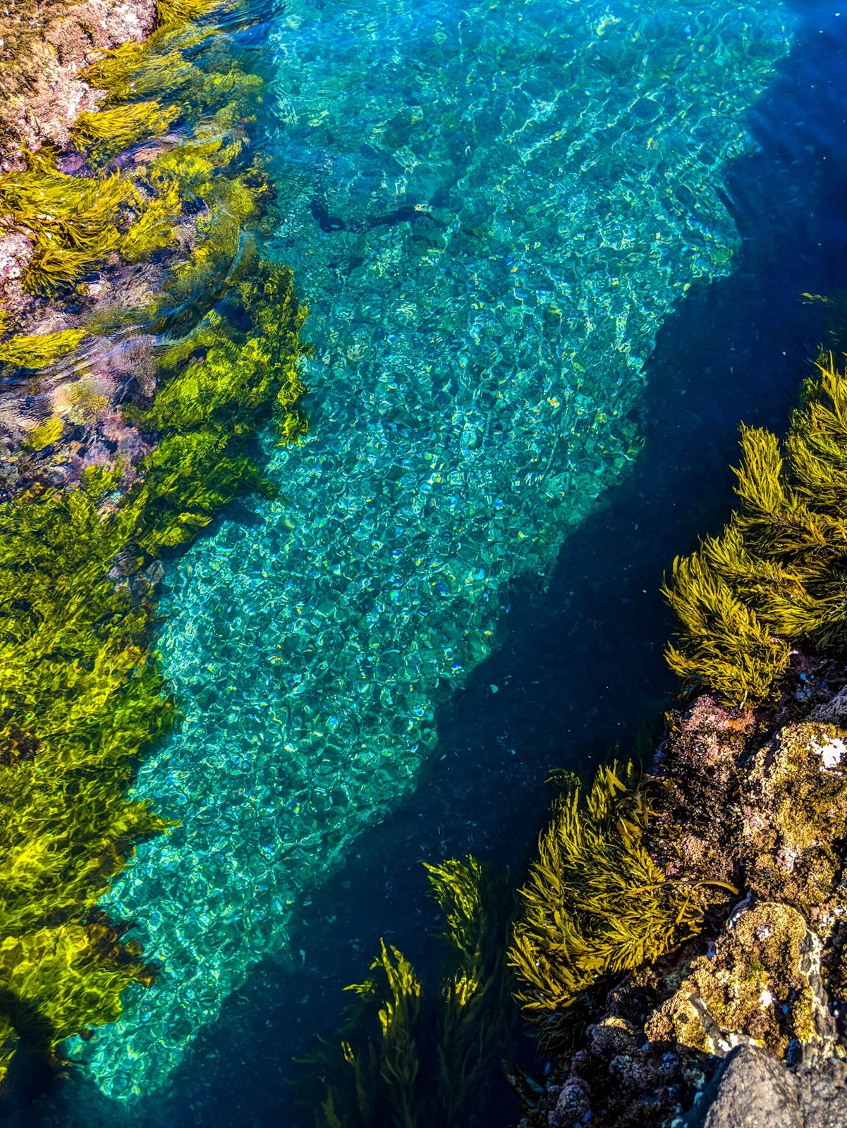
Tucked inside Bass Point near Shell Cove, Bushrangers Bay is a sheltered 4-hectare aquatic reserve renowned as one of the NSW South Coast's finest shore-entry snorkel spots. Crystal-clear waters protect a thriving reef system with an inner and outer bay, where snorkelers drift over rocky ledges, seagrass beds, and colourful sponge gardens. The bay's calm, protected conditions make it a favourite for families and underwater photographers alike, with the chance to spot grey nurse sharks, rays, and prolific fish life in the reserve's pristine waters.
Bushrangers Bay
BeginnerGO
GO
It's a go.
Showing last known conditions
Wave Height 0.3 mSwell Period 6.5 sWind Speed 1.6 knPrecipitation 16 mmTidal Phase slack
Last evaluated
 © Leaandlens
The spot
Community-maintained
Community contribution: submitted by Daniel
Know before you go
Logged by the community, confirmed by mods
Moderate risk: Swell-surge entry
Rocky shore entry becomes dangerous in swell over 1.5 m; waves can push snorkellers onto rocks. Best attempted in 1 m swell or less.
Low risk: Strong outgoing current
The channel between Bushrangers Bay and the adjacent bay can develop a noticeable outward current, especially on outgoing tides.
Low risk: Rocky shoreline
No sand beach — entry and exit are over slippery, uneven rocks. Missteps can cause cuts or ankle injuries.
Low risk: Cool water temperature
Water sits on the cool edge of the East Australian Current's influence; cold-shock risk for unprepared snorkellers, especially outside summer.
Low risk: Rocks and reef ledges
Shallow reef platforms and submerged rocky ledges near the shore entry; wear booties and watch your footing.
Low risk: Swell surge during southerlies
Southerly swells can push into the bay causing surge around the rock platforms.
Low risk: Rocky shoreline entry
Entry is over rocks rather than a sandy beach; care needed when entering and exiting the water.
Low risk: Boat traffic in outer bay
The outer bay can see boat and kayak traffic; stay within the marked aquatic reserve boundaries.
Low risk: Swell surge on rough days
Though generally sheltered, southerly swells can push into the bay creating surge around the reef.
Wildlife Guide
No wildlife notes for this spot yet.
Gallery
2 photos from the community
Getting in
Shore entry
Entry
Located at Bass Point, Shell Cove, about 10 minutes south of Shellharbour. Follow Bass Point Tourist Road to the end where parking is available near the Bass Point Reserve. A short walking trail leads down to the bay.
Parking & facilities
Car park available at Bass Point Reserve at the end of Bass Point Tourist Road, Shell Cove.
parkingtoiletspicnic_tables
Free entry. No fees required.
Spot Map
Community
Gallery ┬╖ 2 photos
Trust
Is this spot real, accurate, still loved?
Spots near New South Wales

No nearby spots yet.
Needs verification
Quick verify
One tap helps the community keep this spot honest.
About this data
- Conditions last evaluated
- Spot data last updated
- Data sources
- Open-Meteo (marine & weather conditions), tide predictions via UTide, community contributors (descriptions, hazards, marine life).
- License
- Spot content licensed under CC BY-SA 4.0. How's the Spot is open source.
Weather & swell ┬╖ Open-Meteo marine & weather APIs Tides ┬╖ UTide harmonic analysis Sea & safety ┬╖ community reports