Burrewarra Point (locally known as Burri Point) is a rocky headland jutting into the Tasman Sea just south of Batemans Bay, within the protected Batemans Marine Park. Snorkelers can enter from the calm, sheltered waters of Guerilla Bay on the north side or explore the more exposed southern side with its rocky reef formations. The point is framed by a mature banksia forest and offers outstanding coastal scenery, with clear waters that reveal small reef fish, morwong, and the occasional wobbegong shark. The adjacent islet and narrow channel between the headland and the rock platform create interesting underwater terrain for exploration. During spring (September–November), migrating humpback whales can be spotted from the clifftop lookout above.
Burrewarra Point (Burri Point)
It's a go.
Showing last known conditions
Last evaluated
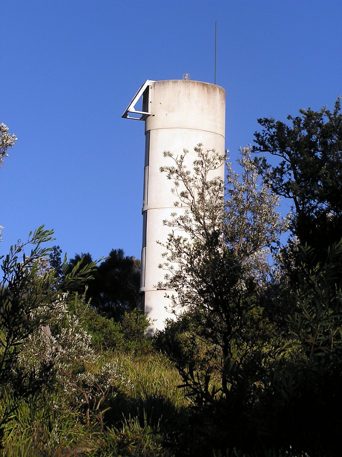
The spot
Community-maintained
Community contribution: submitted by Daniel
Know before you go
Logged by the community, confirmed by mods
Moderate risk: Unpatrolled beach — no lifeguards
Guerilla Bay is not patrolled by Surf Life Saving Australia. Snorkel at your own risk.
Moderate risk: Exposed southern side — ocean swell
The southern side of Burrewarra Point is open to ocean swell, with stronger currents and surge possible.
Moderate risk: Ocean swell and strong currents
The southern side of the headland is exposed to ocean swell and can experience strong, unpredictable currents, especially around the channel between the point and the islet.
Moderate risk: Unpatrolled beach
Guerilla Bay is not patrolled by Surf Life Saving Australia — no lifeguards on duty.
Low risk: Rocky reef and submerged rocks
The headland has numerous rocky outcrops, reef shelves, and gutters that can cause cuts or entrapment in rough conditions.
Low risk: Variable visibility
Water visibility can be poor after swell or rain events, reducing safety and enjoyment.
Low risk: Unfenced cliff edges
Unfenced cliff edges along the headland walking track; care required when accessing the water from the rocks.
Low risk: No lifeguard patrol
No lifeguard patrol; this beach is not patrolled by Surf Life Saving Australia.
Low risk: Moderate hazard rating
No surf lifesaving services at Guerilla Bay; classified as moderately hazardous.
Low risk: Cliff edges on walking track
The Banksia Walk trail has unfenced cliff edges, hazardous for small children and those unsteady on their feet.
Low risk: Variable water visibility
Visibility can be poor after swell or wind events, making it hard to spot submerged rocks.
Low risk: Rocky reef platforms
Slippery and uneven rocks on entry/exit points; care required when entering the water.
Wildlife Guide
No wildlife notes for this spot yet.
Gallery
2 photos from the community
Getting in
13 km south of Batemans Bay. Take George Bass Drive to Guerilla Bay, then turn onto Burri Point Road. The car park is at the end of Burri Point Road. A short 10-minute walk leads to the headland; snorkel access points are on both the north (Guerilla Bay beach) and south sides of the point.
Car park at the end of Burri Point Road, Guerilla Bay.
Free
Spot Map
Community
Trust
Is this spot real, accurate, still loved?
Spots near Victoria

No nearby spots yet.
Quick verify
One tap helps the community keep this spot honest.
About this data
- Conditions last evaluated
- Spot data last updated
- Data sources
- Open-Meteo (marine & weather conditions), tide predictions via UTide, community contributors (descriptions, hazards, marine life).
- License
- Spot content licensed under CC BY-SA 4.0. How's the Spot is open source.