Burns Beach is a lovely, sheltered north-facing beach on Perth's northern coastline, framed by low limestone cliffs and natural reef platforms. The calm, shallow waters over the nearshore limestone reef create excellent conditions for beginner snorkelers to explore small rock pools and reef flats teeming with invertebrates. The beach is patrolled in season, and the adjacent parklands with barbecues and playgrounds make it a family-friendly destination for a full day by the water.
Burns Beach
BeginnerSKIP
SKIP
Poor conditions. Stay out today.
Showing last known conditions
Wave Height 1.9 mSwell Period 12 sWind Speed 1.7 knPrecipitation 0.9 mmTidal Phase ebb
Last evaluated
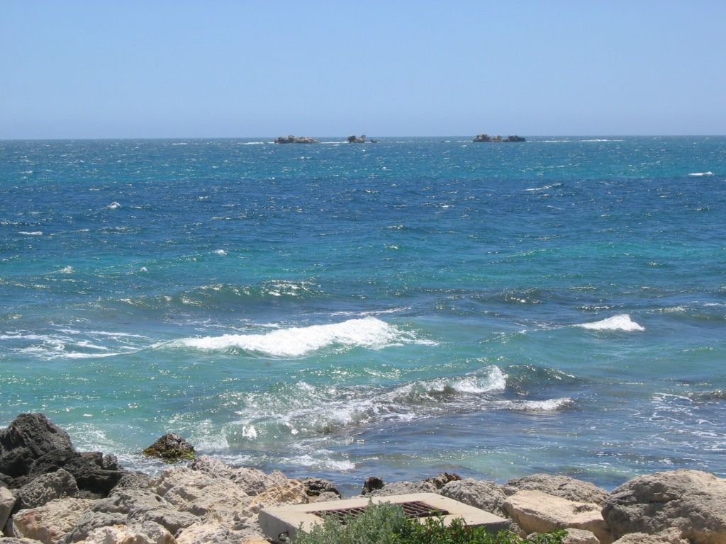 © User:Orderinchaos
The spot
Community-maintained
Community contribution: submitted by Daniel
Know before you go
Logged by the community, confirmed by mods
Low risk: Sharp limestone reef
Slippery and sharp limestone reef platforms can cause cuts and falls when entering or exiting the water.
Low risk: Afternoon sea breeze
Strong onshore winds in the afternoon can create choppy surface conditions and reduce visibility.
Low risk: Winter swell
During winter months, swells can push over the reef, creating unexpected wave action close to shore.
Low risk: Bluebottles
Marine stingers (bluebottles) are occasionally blown inshore, particularly during prevailing onshore winds.
Wildlife Guide
No wildlife notes for this spot yet.
Gallery
3 photos from the community
Getting in
Shore entry
Entry
Burns Beach is located approximately 30 km north of Perth's CBD, in the suburb of Burns Beach. From Perth, head north via Mitchell Freeway (Hwy 2), turn west onto Burns Beach Road, and follow it to the coast.
Parking & facilities
Large car park adjacent to the beach with ample parking, including accessible bays.
parkingtoiletspicnic_tablesshowers
No entry fee; free public access.
Spot Map
Community
Gallery ┬╖ 3 photos
Trust
Is this spot real, accurate, still loved?
Spots near Western Australia

No nearby spots yet.
Needs verification
Quick verify
One tap helps the community keep this spot honest.
About this data
- Conditions last evaluated
- Spot data last updated
- Data sources
- Open-Meteo (marine & weather conditions), tide predictions via UTide, community contributors (descriptions, hazards, marine life).
- License
- Spot content licensed under CC BY-SA 4.0. How's the Spot is open source.
Weather & swell ┬╖ Open-Meteo marine & weather APIs Tides ┬╖ UTide harmonic analysis Sea & safety ┬╖ community reports