Bunurong Marine National Park spans 2,046 hectares of Bass Strait coastline between Inverloch and Wonthaggi, protecting one of Victoria's most biodiverse intertidal zones. Extensive sandstone rock platforms blanketed in pink coralline algae and Neptune's Necklace give way to shallow subtidal reefs that host a vivid underwater garden of red and brown seaweeds. At Eagles Nest and Twin Reefs, Port Jackson Sharks rest under ledges while Southern Rock Lobsters hide in crevices, and colourful sea-stars, feather stars, and Blue-throated Wrasse thrive in these nutrient-rich waters. The park is a no-take marine sanctuary, offering pristine snorkeling conditions for those who time their visit with calm seas.
Bunurong Marine Park
IntermediateMAYBE
MAYBE
Fair. Experienced snorkellers only.
Showing last known conditions
Wave Height 0.1 mSwell Period 8.9 sWind Speed 8.3 knPrecipitation 38 mmTidal Phase flood
Last evaluated
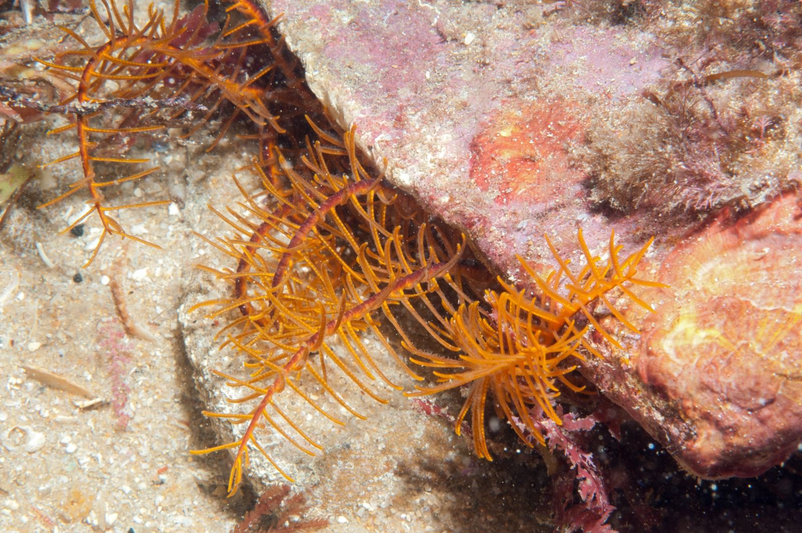 © Julian Finn
The spot
Community-maintained
Community contribution: submitted by Daniel
Know before you go
Logged by the community, confirmed by mods
Moderate risk: Strong currents and undertows
Powerful currents and undertows occur frequently along the rock platforms and reefs, especially during changing tides.
Moderate risk: Southern Ocean swells
Exposed to strong south-westerly swells from the Southern Ocean, creating sudden large waves that can sweep across rock platforms.
Low risk: Slippery rock platforms
Intertidal sandstone platforms become extremely slippery when wet, covered in algae and barnacles.
Low risk: Sudden weather changes
Weather conditions along this Bass Strait coast can change rapidly, affecting visibility and safety.
Low risk: Cold water temperatures
Average surface water temperature is 17.5°C in summer and drops to 13°C in autumn, posing hypothermia risk without adequate wetsuit.
Wildlife Guide
No wildlife notes for this spot yet.
Gallery
3 photos from the community
Getting in
Shore entry
Entry
The park stretches along the Bass Strait coast between Inverloch (to the east) and Wonthaggi (to the west). Access is via the Bass Highway (A420) turning south towards Cape Paterson or Inverloch. Popular entry points include Eagles Nest, Twin Reefs, The Caves, and the beaches at Cape Paterson. The park is easily reached from Melbourne via the M1 and then the Bass Highway.
Parking & facilities
Parking is available at Cape Paterson (including a boat ramp parking area), at Inverloch foreshore, and at various coastal lookout pull-offs along Bunurong Road. Some car parks are unsealed.
toiletsparkingshowerspicnic_tablesboat_ramp
Free entry. Bunurong Marine National Park is a no-take reserve accessible at no cost.
Spot Map
Community
Gallery ┬╖ 3 photos
Trust
Is this spot real, accurate, still loved?
Spots near Victoria

No nearby spots yet.
Needs verification
Quick verify
One tap helps the community keep this spot honest.
About this data
- Conditions last evaluated
- Spot data last updated
- Data sources
- Open-Meteo (marine & weather conditions), tide predictions via UTide, community contributors (descriptions, hazards, marine life).
- License
- Spot content licensed under CC BY-SA 4.0. How's the Spot is open source.
Weather & swell ┬╖ Open-Meteo marine & weather APIs Tides ┬╖ UTide harmonic analysis Sea & safety ┬╖ community reports