Stretching along the Bass Strait coast between Inverloch and Wonthaggi, Bunurong Marine National Park is a 2,046-hectare underwater wonderland. Its defining feature is the expansive intertidal sandstone rock platforms — a mesmerising landscape of pink coralline algae, Neptune's Necklace, and shimmering rockpools brimming with life. Just offshore, shallow subtidal reefs bloom with colourful seaweeds, feather stars, sea-stars, crabs, and large marine snails. The park boasts the highest diversity of intertidal and shallow subtidal invertebrate fauna in eastern Victoria. Around Eagles Nest and Twin Reefs, Port Jackson Sharks rest under ledges while Southern Rock Lobsters hide in crevices. Snorkelers can glide over underwater 'gardens' of red and brown algae, spotting Zebra Fish, Sweep, and Blue-throated Wrasse darting through the kelp.
Bunurong Marine National Park (rock platforms)
Fair. Experienced snorkellers only.
Showing last known conditions
Last evaluated
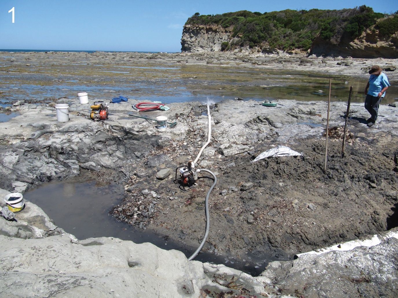
DANGER: Explicit Risks Present
Bunurong Marine National Park (rock platforms) has hazards marked as danger. Entering the water here means you may face serious risks to your personal safety.
- Large unexpected waves on rock platforms danger
Sneaker waves can sweep across rock platforms without warning, posing a risk of being washed off the rocks.
The spot
Community-maintained
Community contribution: submitted by Daniel
Know before you go
Logged by the community, confirmed by mods
High risk: Large unexpected waves on rock platforms
Sneaker waves can sweep across rock platforms without warning, posing a risk of being washed off the rocks.
Moderate risk: Strong south-westerly swells
The park is regularly exposed to powerful swells from the Southern Ocean, which can create dangerous conditions for snorkelers.
Moderate risk: Strong currents and undertows
Sudden changes in weather can produce strong currents and undertows when snorkelling or at the beach.
Low risk: Slippery rock surfaces
Intertidal sandstone platforms are coated with coralline algae and can be extremely slippery underfoot.
Low risk: Potentially dangerous marine creatures
Watch your hands at all times to avoid potentially dangerous creatures hiding in crevices and rockpools.
Wildlife Guide
No wildlife notes for this spot yet.
Gallery
2 photos from the community
Getting in
Bunurong Marine National Park stretches along the Bass Strait coastline between Inverloch and Wonthaggi, approximately 2 hours southeast of Melbourne via the South Gippsland Highway. Access the rock platforms from several beach entry points including Flat Rocks, Eagles Nest, Twin Reefs, and The Caves along Cape Paterson Road and the Bunurong Coastal Drive.
Parking is available at designated car parks near access points including Flat Rocks, Eagles Nest, Cape Paterson, and Inverloch. Spaces fill quickly on summer weekends and public holidays.
No entry fee. Bunurong Marine National Park is a fully protected marine park — no fishing is permitted within its boundaries.
Spot Map
Community
Trust
Is this spot real, accurate, still loved?
Spots near Victoria

No nearby spots yet.
Quick verify
One tap helps the community keep this spot honest.
About this data
- Conditions last evaluated
- Spot data last updated
- Data sources
- Open-Meteo (marine & weather conditions), tide predictions via UTide, community contributors (descriptions, hazards, marine life).
- License
- Spot content licensed under CC BY-SA 4.0. How's the Spot is open source.