The Bunker Group Reefs, straddling the Tropic of Capricorn at the southernmost reach of the Great Barrier Reef, form a remote chain of coral cays and fringing reefs about 80 km east of Gladstone. This pristine marine wilderness is home to over 900 reef fish species and 72% of the coral species found on the entire Great Barrier Reef. Snorkelers can drift over shallow coral gardens, explore the reef walls that drop into deep blue channels, and swim alongside green sea turtles, giant clams, and a kaleidoscope of tropical fish. The group includes iconic cays like Lady Musgrave, Lady Elliot, and Wilson Island, each ringed by vibrant, easily accessible reef flats.
Bunker Group Reefs (general)
BeginnerGO
GO
It's a go.
Showing last known conditions
Wave Height 0.5 mSwell Period 6.3 sWind Speed 5.4 knPrecipitation 0.0 mmTidal Phase flood
Last evaluated
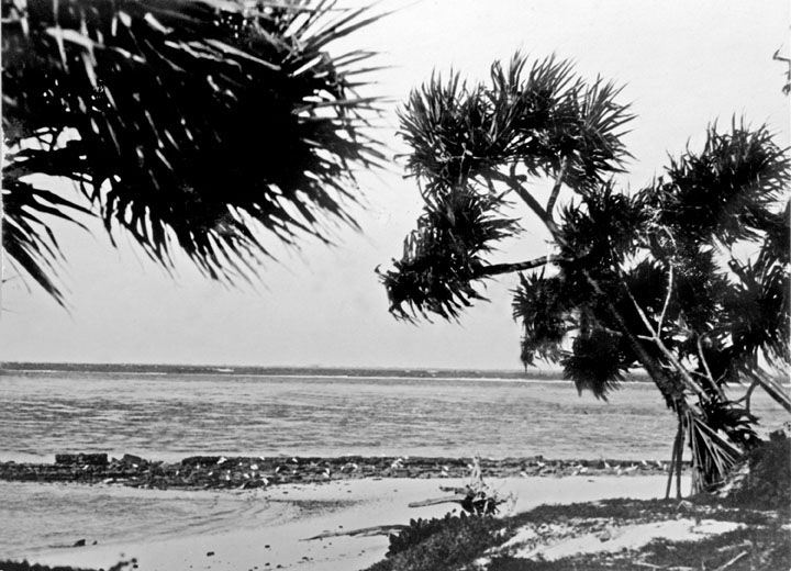 © Agriculture And Stock Department, Publicity Branch
The spot
Community-maintained
Community contribution: submitted by Daniel
Know before you go
Logged by the community, confirmed by mods
Moderate risk: Marine stingers (jellyfish)
Marine stingers (box jellyfish and Irukandji) are present in the southern Great Barrier Reef waters during the warmer months.
Low risk: Tidal currents in reef channels
Strong tidal currents move through the reef channels between cays, particularly during spring tides. Snorkelers should be aware of changing tide direction and avoid being swept out through the passes.
Low risk: Sharp coral at low tide
The reef is exposed at low tide, with sharp coral heads in shallow water that can cause cuts and abrasions.
Low risk: Southeasterly trade winds
Strong southeasterly trade winds can create choppy surface conditions and reduce visibility, especially from May to October.
Wildlife Guide
No wildlife notes for this spot yet.
Gallery
2 photos from the community
Getting in
Snorkel tour
Entry
The Bunker Group lies approximately 80 km east of Gladstone, Queensland. Access is exclusively by boat — via day-tour vessels or liveaboard charters departing from Gladstone, Bundaberg, or the Town of 1770. Popular operators run tours to Lady Musgrave Island, one of the key cay islands within the group.
Parking & facilities
Parking available at departure marinas in Gladstone, Bundaberg, and 1770. Check individual operator details.
Tour operators collect Environmental Management Charges (EMC) and QPWS fees as part of ticket prices, which fund reef conservation and ranger patrols.
Spot Map
Community
Gallery ┬╖ 2 photos
Trust
Is this spot real, accurate, still loved?
Spots near Queensland

No nearby spots yet.
Needs verification
Quick verify
One tap helps the community keep this spot honest.
About this data
- Conditions last evaluated
- Spot data last updated
- Data sources
- Open-Meteo (marine & weather conditions), tide predictions via UTide, community contributors (descriptions, hazards, marine life).
- License
- Spot content licensed under CC BY-SA 4.0. How's the Spot is open source.
Weather & swell ┬╖ Open-Meteo marine & weather APIs Tides ┬╖ UTide harmonic analysis Sea & safety ┬╖ community reports