Bulcock Beach sits inside the protected Caloundra bar on Pumicestone Passage, offering calm, sheltered waters ideal for snorkeling. Just northeast of Kings Beach near the boat ramp lies a hidden patch reef teeming with toadstool leather corals, vivid cauliflower corals, electric blue soft corals, sea anemones, and sponges. This shore-entry spot is remarkably accessible — a 1.5 km walk from the Caloundra bus station. Swim left from the boat ramp hugging the rock shelf for the richest marine diversity, where you might spot wobbegong sharks, green sea turtles, moray eels, and over 40 fish species in a single session. The boardwalk, grassy picnic areas, and patrolled beach make it a favorite for families.
Bulcock Beach
BeginnerGO
GO
It's a go.
Showing last known conditions
Wave Height 0.5 mSwell Period 6.0 sWind Speed 3.4 knPrecipitation 0.0 mmTidal Phase flood
Last evaluated
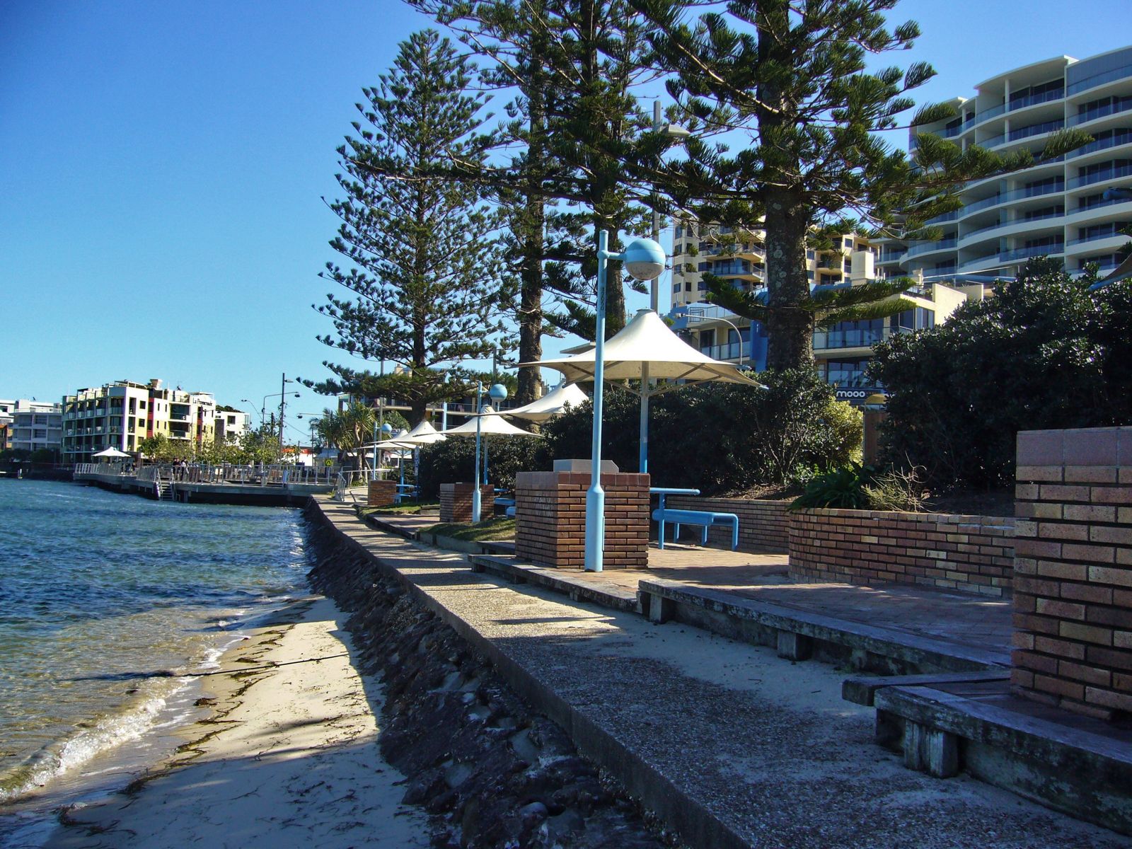 © Tanya Dedyukhina
The spot
Community-maintained
Community contribution: submitted by Daniel
Know before you go
Logged by the community, confirmed by mods
Moderate risk: Boat traffic
The main entry point is via the active boat ramp; swimmers must be alert for vessels launching and retrieving.
Moderate risk: Marine stingers (seasonal)
Box jellyfish and other marine stingers are occasionally present in Queensland coastal waters during warmer months.
Low risk: Choppy conditions and poor visibility
Wind and wave action can stir up sediment, reducing visibility — particularly beyond the sheltered rock shelf.
Low risk: Slippery rocks
Rocks on either side of the boat ramp can be slippery; entry/exit via the ramp itself is recommended.
Low risk: Shallow sandbars and deep water
Depth changes quickly beyond the shore; shallow sandbars can surprise waders.
Low risk: Shifting sandbars
The mouth of Pumicestone Passage has highly variable sandbars that can change depth and position, especially after tidal movement.
Low risk: Deep water near channel
Deeper water adjacent to the Pumicestone Passage channel can occur close to shore, particularly near the northern end of the beach.
Low risk: Tidal currents in passage
Flowing tidal currents from the Pumicestone Passage can create unexpected drag near the channel mouth.
Wildlife Guide
No wildlife notes for this spot yet.
Gallery
3 photos from the community
Getting in
Shore entry
Entry
Located at the southern end of Caloundra on Pumicestone Passage. From the Caloundra bus station, it's an easy 1.5 km walk along the Esplanade. The best snorkeling entry is from the boat ramp just northeast of Kings Beach — swim straight out and veer left, hugging the rock shelf.
Parking & facilities
Off-street car parking is available at the eastern end of Bulcock Esplanade towards Happy Valley. There is also a formal parking area near the beach.
toiletsparkingdrinking_watershowerspicnic_tables
Free entry. No fees for parking or access.
Spot Map
Community
Gallery ┬╖ 3 photos
Trust
Is this spot real, accurate, still loved?
Spots near Queensland

No nearby spots yet.
Needs verification
Quick verify
One tap helps the community keep this spot honest.
About this data
- Conditions last evaluated
- Spot data last updated
- Data sources
- Open-Meteo (marine & weather conditions), tide predictions via UTide, community contributors (descriptions, hazards, marine life).
- License
- Spot content licensed under CC BY-SA 4.0. How's the Spot is open source.
Weather & swell ┬╖ Open-Meteo marine & weather APIs Tides ┬╖ UTide harmonic analysis Sea & safety ┬╖ community reports