Flowing into the sea at the charming town of Brunswick Heads, the Brunswick River offers a surprising freshwater snorkeling experience. At high tide, the river transforms into a crystal-clear underwater paradise where mangroves line the banks and sandy shallows give way to deeper, clearer pools. The sheltered waters around Torakina Beach and near the footbridge are calm and family-friendly, making it a unique alternative to ocean snorkeling. The river is locally known as Durrumbil and sits within the traditional Country of the Bunjalong people.
Brunswick River
BeginnerMAYBE
MAYBE
Fair. Experienced snorkellers only.
Showing last known conditions
Wave Height 0.0 mSwell Period 0.0 sWind Speed 6.8 knPrecipitation 0.0 mmTidal Phase flood
Last evaluated
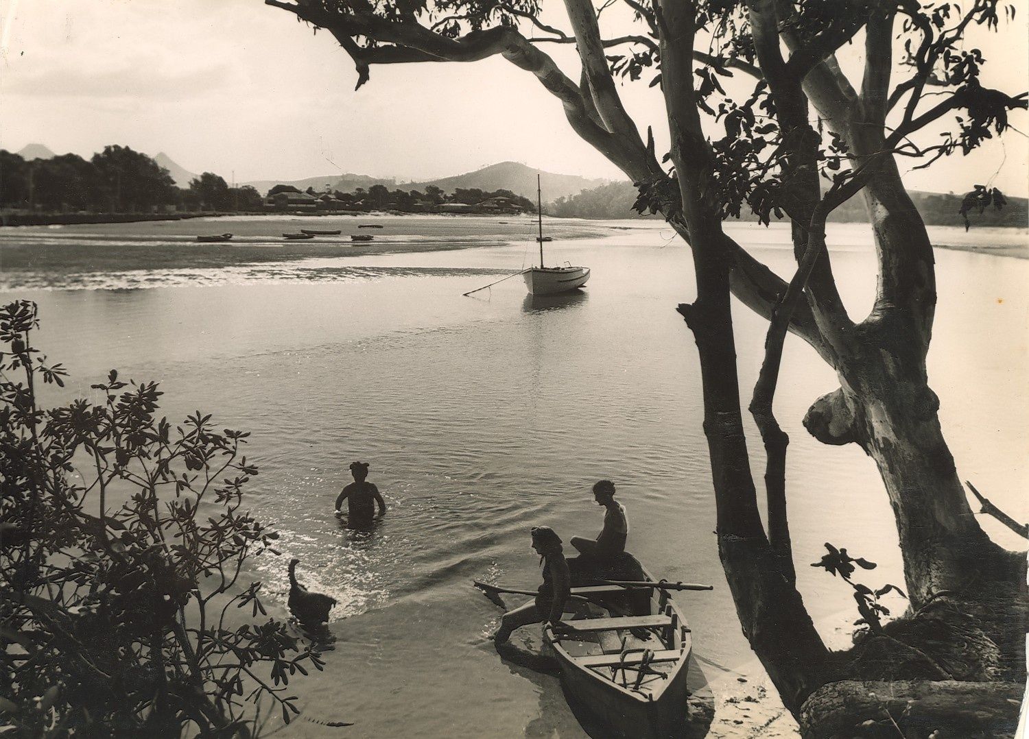 © Photographic Collection from Australia
The spot
Community-maintained
Community contribution: submitted by Daniel
Know before you go
Logged by the community, confirmed by mods
Moderate risk: Limited visibility outside high tide
When the tide drops, water clarity diminishes rapidly and the river becomes turbid — not suitable for snorkelling.
Low risk: Outgoing Tide Current
As the tide recedes, the river can flow swiftly towards the ocean mouth, creating strong currents near the breakwall and river mouth.
Low risk: Boat Traffic
The river is used by fishing boats, kayakers, and paddlecraft. Snorkelers should stay aware of passing vessels, especially near the bridge and boat ramp areas.
Low risk: Water Visibility Fluctuation
Heavy rain upstream can muddy the river, reducing visibility significantly. Best conditions occur after a few days of dry weather and around high tide.
Low risk: Incoming/outgoing tidal current
Flow intensifies near the river mouth during tide changes, especially on outgoing tides. Snorkel at high tide slacks for safest conditions.
Low risk: Tidal current at river entrance
Flowing tidal current near the river mouth can be strong during tidal changes, especially around low tide. Snorkel only at high tide when water is calm and clear.
Low risk: Marine stingers
Bluebottles and occasional jellyfish may be present, particularly in warmer months. Check conditions before entering.
Wildlife Guide
No wildlife notes for this spot yet.
Gallery
2 photos from the community
Getting in
Shore entry
Entry
The Brunswick River flows through Brunswick Heads, 18 km north of Byron Bay on the Pacific Highway. Access the river from Torakina Beach (via South Beach Road), or from the footbridge area at the end of Park Street near Banner Park.
Parking & facilities
Parking available near Torakina Beach on South Beach Road, and at Banner Park near the town centre. Additional parking near the Surf Life Saving Club on Main Beach.
toiletsparkingpicnic_tablesshowers
No fees for river access. Paid parking may apply in some council-managed lots during peak season.
Spot Map
Community
Gallery ┬╖ 2 photos
Trust
Is this spot real, accurate, still loved?
Spots near New South Wales

No nearby spots yet.
Needs verification
Quick verify
One tap helps the community keep this spot honest.
About this data
- Conditions last evaluated
- Spot data last updated
- Data sources
- Open-Meteo (marine & weather conditions), tide predictions via UTide, community contributors (descriptions, hazards, marine life).
- License
- Spot content licensed under CC BY-SA 4.0. How's the Spot is open source.
Weather & swell ┬╖ Open-Meteo marine & weather APIs Tides ┬╖ UTide harmonic analysis Sea & safety ┬╖ community reports